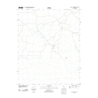
2012 Map of Quincy School
USGS Topo · Published 2012About this map
White River winds through this rural landscape in Kern County, providing a central drainage for the surrounding gulches and flats. The area is defined by its historic transportation corridors, most notably the Old Stockton Los Angeles Stage Rd, which speaks to the region's legacy as a transit point between major California hubs. Local education and community life center on the Quincy School, situated near the junction of several mountain roads. The presence of the Flynn Ranch and Vincent Ranch highlights the enduring ranching character of the land, where water sources like Coyote Spring remain vital. Topographic features such as Telegraph Flat, Tyler Gulch, and Grizzly Gulch illustrate the varied terrain that early settlers and stagecoach drivers navigated, while Coarse Gold Cr suggests a history of mineral interest in the eastern reaches of the map.
Find a feature on this map
18 named features on this map. Tap any name to fly to it.
Don’t see what you’re looking for? This feature index may not catch every label — zoom into the map to look around manually.
Map Details
Editions of this 2012 Quincy School Map
This is the sole edition of this map. No revisions or reprints were ever made.
Other maps of this area

1926 · Quincy School
USGS Topo · 1:31,680

1929 · Richgrove
USGS Topo · 1:31,680

1929 · Quincy School
USGS Topo · 1:31,680

1929 · Ducor
USGS Topo · 1:31,680

1931 · Deepwell Ranch
USGS Topo · 1:31,680

1932 · Woody
USGS Topo · 1:62,500

1935 · Woody
USGS Topo · 1:62,500

1936 · White River
USGS Topo · 1:62,500

1936 · Tobias Peak
USGS Topo · 1:125,000
1942 · Slater
USGS Topo · 1:62,500