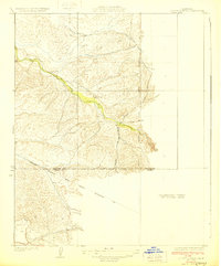
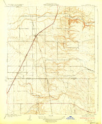
1929 Map of Quincy School
USGS Topo · Published 1929About this map
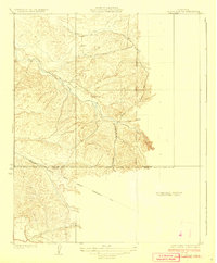
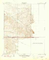
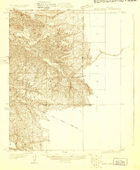
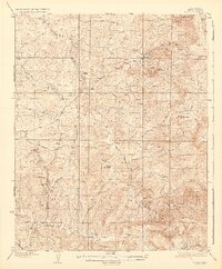
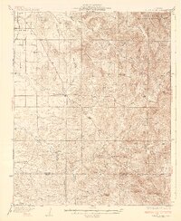
White River winds through the hills of this 1920s survey, marking a corridor of early development along the Tulare and Kern County line. The presence of the Quincy Sch suggests a small, dispersed rural community centered around local education during this era. Land use and infrastructure are defined by the Southern California Edison Company Transmission Line, which cuts across the southern portion of the landscape. The terrain is further characterized by drainage features such as Tyler Gulch, Rag Gulch, and the prominent level area of Telegraph Flat. Published as a preliminary edition, the map leaves a significant portion of the eastern territory as an unsurveyed area, reflecting the ongoing process of topographic mapping in California during the late 1920s.
Find a feature on this map
9 named features on this map. Tap any name to fly to it.
Don’t see what you’re looking for? This feature index may not catch every label — zoom into the map to look around manually.
Map Details
Editions of this 1929 Quincy School Map
3 editions found
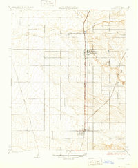
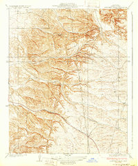
Other maps of this area
1926 · Quincy School
USGS Topo · 1:31,680
1929 · Richgrove
USGS Topo · 1:31,680
1929 · Ducor
USGS Topo · 1:31,680
1931 · Deepwell Ranch
USGS Topo · 1:31,680
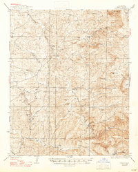
1932 · Woody
USGS Topo · 1:62,500
1935 · Woody
USGS Topo · 1:62,500
1936 · White River
USGS Topo · 1:62,500

1936 · Tobias Peak
USGS Topo · 1:125,000
1942 · Slater
USGS Topo · 1:62,500
1942 · Terra Bella
USGS Topo · 1:62,500