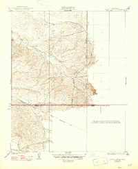
1929 Map of Quincy School
USGS Topo · Published 1947About this map
The White River winds through the rolling hills of this Central California landscape, serving as a primary geographic marker for the rural settlements of the late 1920s. Centrally located within the terrain is the Quincy Sch, a vital community point for the local families of the era. The mapping details the transitional geography where the southern Sierra foothills begin to level out toward the valley floor, specifically following the Boundary Line that separates Tulare County from Kern County.
Find a feature on this map
8 named features on this map. Tap any name to fly to it.
Don’t see what you’re looking for? This feature index may not catch every label — zoom into the map to look around manually.
Map Details
Editions of this 1929 Quincy School Map
3 editions found
Other maps of this area

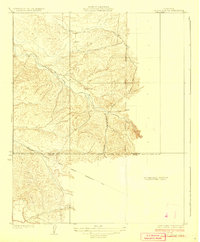
1926 · Quincy School
USGS Topo · 1:31,680

1929 · Richgrove
USGS Topo · 1:31,680

1929 · Quincy School
USGS Topo · 1:31,680

1929 · Ducor
USGS Topo · 1:31,680

1931 · Deepwell Ranch
USGS Topo · 1:31,680

1932 · Woody
USGS Topo · 1:62,500

1935 · Woody
USGS Topo · 1:62,500

1936 · White River
USGS Topo · 1:62,500

1936 · Tobias Peak
USGS Topo · 1:125,000
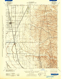
1942 · Slater
USGS Topo · 1:62,500