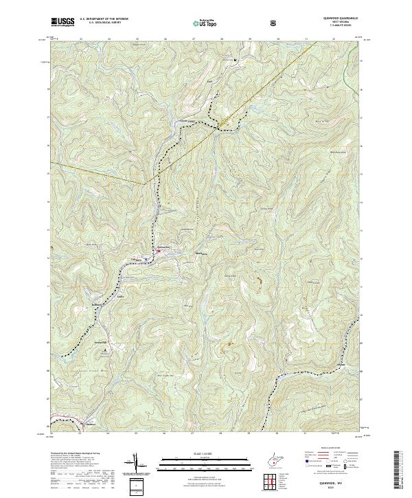
2023 Map of Quinwood
USGS Topo · Published 2023About this map
Quinwood and the surrounding coal-country communities of Marfrance and Crichton dominate the central valley of this Greenbrier County landscape. The area is defined by a dense network of mountain ridges and knobs, including Peaser Ridge and Pollock Mountain, which hem in the settlements and dictated the path of the Coalfield Trl. The geography reflects the region's industrial heritage, where small residential clusters like Leslie and Bellburn follow the narrow corridors created by Meadow Creek and its tributaries. Local history is anchored by sites such as the Orient Hill Baptist Church Cem and the Mountain Cem near Carl. The map illustrates the persistent structure of these communities as they are woven into the complex terrain of Mill Creek Mtn and Laurel Creek Mtn.
Find a feature on this map
77 named features on this map. Tap any name to fly to it.
Don’t see what you’re looking for? This feature index may not catch every label — zoom into the map to look around manually.
Map Details
Editions of this 2023 Quinwood Map
This is the sole edition of this map. No revisions or reprints were ever made.
Other maps of this area

1887 · Hinton
USGS Topo · 1:125,000

1889 · Nicholas
USGS Topo · 1:125,000

1891 · Nicholas
USGS Topo · 1:125,000

1892 · Hinton
USGS Topo · 1:125,000

1901 · Nicholas
USGS Topo · 1:125,000

1912 · Meadow Creek
USGS Topo · 1:48,000

1914 · Winona
USGS Topo · 1:48,000

1915 · Meadow Creek
USGS Topo · 1:62,500

1916 · Winona
USGS Topo · 1:62,500

1918 · Richwood
USGS Topo · 1:62,500