1995 Map of Quinwood
USGS Topo · Published 1998About this map
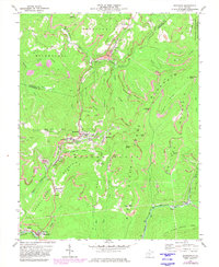
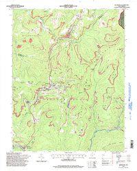
The mountain-hollow settlements of the western edge of Monongahela National Forest are captured here during a period of ongoing industrial activity. Small mining communities like Quinwood, Marfrance, and Crichton are clustered along the Price Fork and Little Fork of Hominy Creek, connected by winding roads through the complex terrain of Meadow Bluff and Laurel Creek Mountain. The prevalence of Mines and Mine Dump labels throughout the hillsides, particularly on Kentucky Ridge and Blue Mountain, underscores the area's deep-rooted reliance on coal extraction.
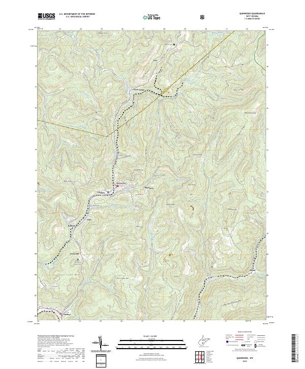
Find a feature on this map
58 named features on this map. Tap any name to fly to it.
Don’t see what you’re looking for? This feature index may not catch every label — zoom into the map to look around manually.
Map Details
Editions of this 1995 Quinwood Map
This is the sole edition of this map. No revisions or reprints were ever made.
Historical Maps of Quinwood Through Time
3 maps found