
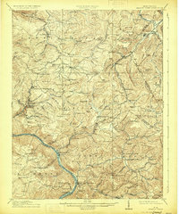
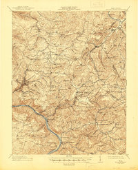
1915 Map of Meadow Creek
USGS Topo · Published 1915About this map
Sewell Mountain and the high plateaus of the central West Virginia highlands define this landscape during a period of expanding rural infrastructure. The map records a dense network of mountain communities and small post offices such as Layland P.O. and Meadowbridge Clute P.O. that served the local timber and farming families of the era. The industrial reach of the Chesapeake and Ohio River rail line is visible following the river canyons, connecting isolated stops like Meadow Creek and Sandstone to the broader regional economy.
Find a feature on this map
165 named features on this map. Tap any name to fly to it.
Don’t see what you’re looking for? This feature index may not catch every label — zoom into the map to look around manually.
Map Details
Editions of this 1915 Meadow Creek Map
3 editions found
Other maps of this area

1887 · Hinton
USGS Topo · 1:125,000

1889 · Nicholas
USGS Topo · 1:125,000

1891 · Nicholas
USGS Topo · 1:125,000

1891 · Raleigh
USGS Topo · 1:125,000

1892 · Hinton
USGS Topo · 1:125,000

1897 · Kanawha Falls
USGS Topo · 1:125,000

1897 · Raleigh
USGS Topo · 1:125,000

1900 · Kanawha Falls
USGS Topo · 1:125,000

1901 · Nicholas
USGS Topo · 1:125,000

1901 · Kanawha Falls
USGS Topo · 1:125,000