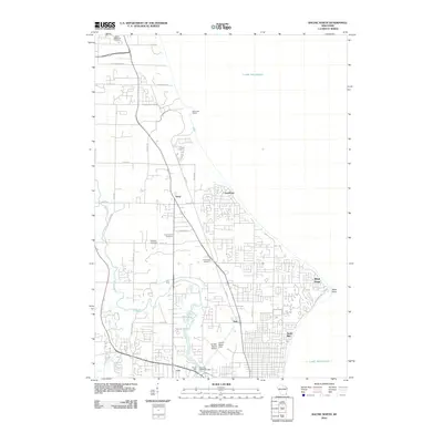
2010 Map of Racine North
USGS Topo · Published 2010About this map
Lake Michigan forms the eastern boundary of this coastal landscape north of Racine, where residential expansion meets established industrial and aviation sites. The Root River meanders through the western half of the quadrangle, passing beneath the Wrkr railroad line near the historic Horlick Mill and the Horlicks 3WR1874 Dam. Aviation history is prominent at the John H Batten Field, also labeled as the Horlick-Racine Airport, which serves the surrounding communities of Ives, Crestview, and North Bay.
Find a feature on this map
39 named features on this map. Tap any name to fly to it.
Don’t see what you’re looking for? This feature index may not catch every label — zoom into the map to look around manually.
Map Details
Editions of this 2010 Racine North Map
This is the sole edition of this map. No revisions or reprints were ever made.
Other maps of this area

1891 · Bayview
USGS Topo · 1:62,500

1892 · Racine
USGS Topo · 1:62,500

1901 · Bayview
USGS Topo · 1:62,500

1905 · Racine
USGS Topo · 1:62,500
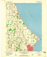
1958 · Racine North
USGS Topo · 1:24,000
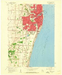
1958 · Racine South
USGS Topo · 1:24,000
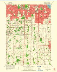
1958 · Greendale
USGS Topo · 1:24,000
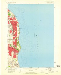
1958 · South Milwaukee
USGS Topo · 1:24,000
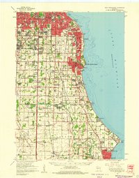
1958 · South Milwaukee
USGS Topo · 1:62,500
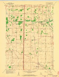
1958 · Franksville
USGS Topo · 1:24,000