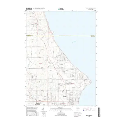
2016 Map of Racine North
USGS Topo · Published 2016About this map
Lake Michigan dominates the eastern edge of this coastal survey, where the shoreline transition from Oak Creek down through Wind Point reveals a dense network of suburban development and municipal expansion. The northern reaches of Racine are well-defined, showing the village of North Bay and the industrial and aviation footprint of John H Batten Airport. Inland, the landscape is punctuated by significant genealogical sites, including the Bohemian National Cem and Holy Cross Cem, reflecting the area's cultural heritage. The Root River meanders toward the lake, passing through Caledonia and Mount Pleasant, while the historic community of Tabor remains a distinct point of reference along Douglas Ave. The map captures a high degree of residential detail, from established neighborhoods in Crestview to the newer subdivisions filling the spaces between long-standing regional roads like 7 Mile Rd and 5 Mile Rd.
Find a feature on this map
101 named features on this map. Tap any name to fly to it.
Don’t see what you’re looking for? This feature index may not catch every label — zoom into the map to look around manually.
Map Details
Editions of this 2016 Racine North Map
This is the sole edition of this map. No revisions or reprints were ever made.
Other maps of this area

1891 · Bayview
USGS Topo · 1:62,500

1892 · Racine
USGS Topo · 1:62,500

1901 · Bayview
USGS Topo · 1:62,500

1905 · Racine
USGS Topo · 1:62,500
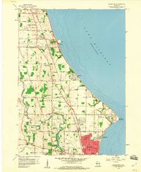
1958 · Racine North
USGS Topo · 1:24,000
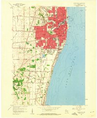
1958 · Racine South
USGS Topo · 1:24,000
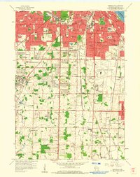
1958 · Greendale
USGS Topo · 1:24,000
1958 · South Milwaukee
USGS Topo · 1:24,000
1958 · South Milwaukee
USGS Topo · 1:62,500
1958 · Franksville
USGS Topo · 1:24,000