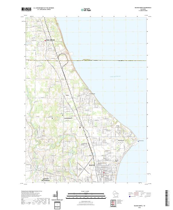
2022 Map of Racine North
USGS Topo · Published 2022About this map
Lake Michigan defines the eastern edge of this coastal Wisconsin landscape, where the prominent peninsula of Wind Point juts into the water. The suburban and residential growth of northern Racine and Mount Pleasant meets the agricultural and industrial corridors of Caledonia and Oak Creek further north. Traces of early regional heritage remain visible through local landmarks such as the Bohemian National Cem and Holy Family Cem, which sit alongside established neighborhoods like Tabor and Crestview. The Root River meanders through the western terrain, creating a natural break in the grid of local roads like Douglas Ave and Six Mile Rd. Aviation history is represented by Batten International Airport, a significant transport hub situated near the village of North Bay, illustrating the area's role as a transition point between Milwaukee and Racine.
Find a feature on this map
157 named features on this map. Tap any name to fly to it.
Don’t see what you’re looking for? This feature index may not catch every label — zoom into the map to look around manually.
Map Details
Editions of this 2022 Racine North Map
This is the sole edition of this map. No revisions or reprints were ever made.
Other maps of this area

1891 · Bayview
USGS Topo · 1:62,500

1892 · Racine
USGS Topo · 1:62,500

1901 · Bayview
USGS Topo · 1:62,500

1905 · Racine
USGS Topo · 1:62,500
1958 · Racine North
USGS Topo · 1:24,000
1958 · Racine South
USGS Topo · 1:24,000
1958 · Greendale
USGS Topo · 1:24,000
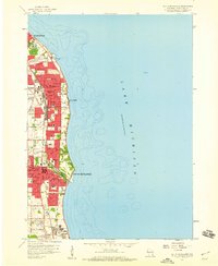
1958 · South Milwaukee
USGS Topo · 1:24,000
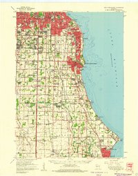
1958 · South Milwaukee
USGS Topo · 1:62,500
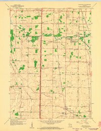
1958 · Franksville
USGS Topo · 1:24,000