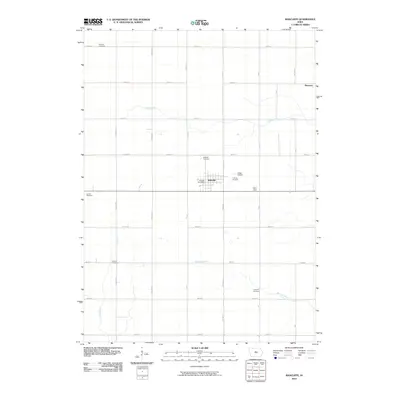
2010 Map of Radcliffe
USGS Topo · Published 2010About this map
Radcliffe serves as the primary hub of this Hardin County landscape, where the town's residential grid and the Radcliffe Post Office stand as a cluster of development amidst a strictly ordered agricultural grid. The map reveals a deeply rooted rural community, evidenced by the distribution of several family and local burial grounds including Bethany Cemetery, Lincoln Cemetery, and Rorem Cemetery. The terrain is defined by the gentle drainage patterns of Honey Creek, Minerva Creek, and Bear Creek, which cut across the rectilinear road network of numbered streets and lettered avenues. Small-scale local infrastructure is visible in the presence of Drake Airport and Friendly Fairways just east of the main town site. Further northeast, the small settlement of Sherman sits at a crossroads, illustrating the persistence of outlying hamlets in the Iowa heartland during the early 21st century.
Find a feature on this map
36 named features on this map. Tap any name to fly to it.
Don’t see what you’re looking for? This feature index may not catch every label — zoom into the map to look around manually.
Map Details
Editions of this 2010 Radcliffe Map
This is the sole edition of this map. No revisions or reprints were ever made.
Other maps of this area

1912 · Ames
USGS Topo · 1:62,500

1914 · Ames
USGS Topo · 1:62,500

1954 · Waterloo
USGS Topo · 1:250,000

1955 · Waterloo
USGS Topo · 1:250,000

1975 · Story City
USGS Topo · 1:24,000

1975 · Zearing
USGS Topo · 1:24,000

1975 · Mc Callsburg
USGS Topo · 1:24,000

1978 · Ellsworth
USGS Topo · 1:24,000

1978 · Williams
USGS Topo · 1:24,000

1979 · Buckeye West
USGS Topo · 1:24,000