
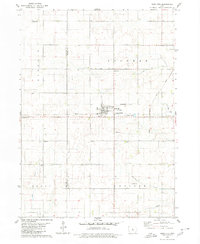
1979 Map of Buckeye West
USGS Topo · Published 1980About this map
Buckeye serves as a primary rail hub in this portion of Hardin County, situated at the intersection of the Chicago and North Western line. The landscape is defined by the meandering course of the South Fork Iowa River as it passes near the Buckeye Cem and the Flowing Well County Park. The map captures a quintessential mid-century Iowa agricultural layout, where the surveyor noted local watercourses like Tipton Creek and the New York Branch that cut through the townships of Alden and Buckeye. To the north, the small settlement of Wilke sits along the northern rail corridor, surrounded by a network of section roads and scattered Gravel Pits that supported the local infrastructure of the late 1970s.
Find a feature on this map
14 named features on this map. Tap any name to fly to it.
Don’t see what you’re looking for? This feature index may not catch every label — zoom into the map to look around manually.
Map Details
Editions of this 1979 Buckeye West Map
This is the sole edition of this map. No revisions or reprints were ever made.
Other maps of this area

1954 · Waterloo
USGS Topo · 1:250,000

1955 · Waterloo
USGS Topo · 1:250,000

1978 · Ellsworth
USGS Topo · 1:24,000

1978 · Sheldon Creek
USGS Topo · 1:24,000

1978 · Williams
USGS Topo · 1:24,000

1979 · Iowa Falls West
USGS Topo · 1:24,000

1979 · Buckeye East
USGS Topo · 1:24,000

1979 · Popejoy
USGS Topo · 1:24,000

1979 · Hubbard
USGS Topo · 1:24,000
1979 · Radcliffe
USGS Topo · 1:24,000