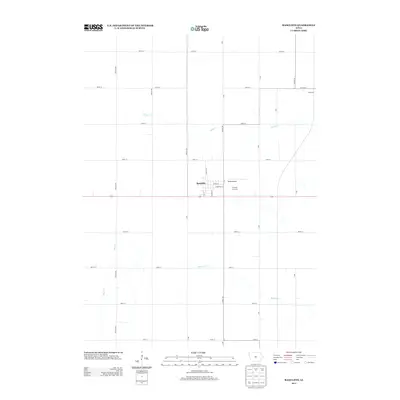
2013 Map of Radcliffe
USGS Topo · Published 2013About this map
Radcliffe serves as the central hub of this Hardin County landscape, where the grid-work of the Iowa prairie meets a series of meandering waterways. The town layout is defined by streets such as May St, Isabella St, and Ionia St, while the local aviation and recreation needs are met by the nearby Drake Airport and the grounds of Friendly Fairways. To the northeast, the smaller settlement of Sherman sits at the junction of Co Hwy-S27 and Co Hwy-D47. The terrain is characterized by the natural drainage patterns of Honey Cr, Minerva Cr, and Bear Cr, which cut through the agricultural sections. This survey provides a clear view of the regional connectivity provided by Co Hwy-S21 and the township road system, reflecting the enduring rural character of central Iowa in the early 21st century.
Find a feature on this map
35 named features on this map. Tap any name to fly to it.
Don’t see what you’re looking for? This feature index may not catch every label — zoom into the map to look around manually.
Map Details
Editions of this 2013 Radcliffe Map
This is the sole edition of this map. No revisions or reprints were ever made.
Other maps of this area

1912 · Ames
USGS Topo · 1:62,500

1914 · Ames
USGS Topo · 1:62,500

1954 · Waterloo
USGS Topo · 1:250,000

1955 · Waterloo
USGS Topo · 1:250,000

1975 · Story City
USGS Topo · 1:24,000

1975 · Zearing
USGS Topo · 1:24,000

1975 · Mc Callsburg
USGS Topo · 1:24,000

1978 · Ellsworth
USGS Topo · 1:24,000

1978 · Williams
USGS Topo · 1:24,000

1979 · Buckeye West
USGS Topo · 1:24,000