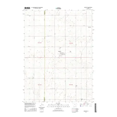
2015 Map of Radcliffe
USGS Topo · Published 2015About this map
The town of Radcliffe serves as the central hub of this agricultural landscape along the boundary of Hamilton and Hardin counties. The map details the residential street grid of the town, featuring Isabella St, Catherine St, and several other named corridors near Drake Airport. Surrounding the settlement, the terrain is defined by the drainage patterns of Honey Cr, Minerva Cr, and Bear Cr, which cut through the productive farmland of the Iowa plains.
Find a feature on this map
48 named features on this map. Tap any name to fly to it.
Don’t see what you’re looking for? This feature index may not catch every label — zoom into the map to look around manually.
Map Details
Editions of this 2015 Radcliffe Map
This is the sole edition of this map. No revisions or reprints were ever made.
Other maps of this area

1912 · Ames
USGS Topo · 1:62,500

1914 · Ames
USGS Topo · 1:62,500

1954 · Waterloo
USGS Topo · 1:250,000

1955 · Waterloo
USGS Topo · 1:250,000

1975 · Story City
USGS Topo · 1:24,000

1975 · Zearing
USGS Topo · 1:24,000

1975 · Mc Callsburg
USGS Topo · 1:24,000

1978 · Ellsworth
USGS Topo · 1:24,000

1978 · Williams
USGS Topo · 1:24,000

1979 · Buckeye West
USGS Topo · 1:24,000