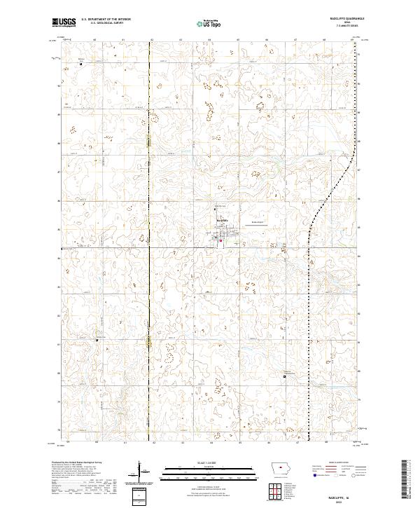
2022 Map of Radcliffe
USGS Topo · Published 2022About this map
Radcliffe serves as the central hub for this portion of the Iowa prairie, situated at the intersection of Co Rd S21 and Highway 175. The town's grid is well-defined by streets such as E Minnie St and Amanda St, with Drake Airport located just to the east. The surrounding landscape is a dedicated agricultural expanse, divided by the north-south boundary line between Hamilton Co and Hardin Co. Waterways like Honey Cr and Minerva Cr meander through the sections, often flanked by small groves and wetlands that break the regularity of the section lines. For local historians, the distribution of rural burial grounds—including Bethany Cem in the north and Rorem Cem to the south—highlights the early pioneer settlement patterns that established these townships before the advent of modern regional consolidation.
Find a feature on this map
49 named features on this map. Tap any name to fly to it.
Don’t see what you’re looking for? This feature index may not catch every label — zoom into the map to look around manually.
Map Details
Editions of this 2022 Radcliffe Map
This is the sole edition of this map. No revisions or reprints were ever made.
Other maps of this area

1912 · Ames
USGS Topo · 1:62,500

1914 · Ames
USGS Topo · 1:62,500

1954 · Waterloo
USGS Topo · 1:250,000

1955 · Waterloo
USGS Topo · 1:250,000

1975 · Story City
USGS Topo · 1:24,000

1975 · Zearing
USGS Topo · 1:24,000

1975 · Mc Callsburg
USGS Topo · 1:24,000

1978 · Ellsworth
USGS Topo · 1:24,000

1978 · Williams
USGS Topo · 1:24,000

1979 · Buckeye West
USGS Topo · 1:24,000