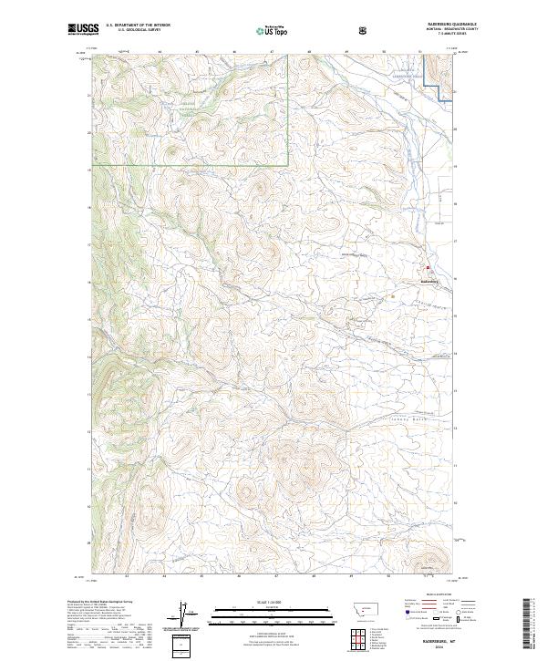
2024 Map of Radersburg
USGS Topo · Published 2024About this map
The high plains and foothills of Broadwater County meet the eastern edge of the Helena National Forest in this modern topographic study of the Radersburg area. The landscape is defined by its complex drainage network and mining history, evidenced by the numerous gulches that carve through the terrain, including Charity Gulch, Keating Gulch, and Johnny Gulch. These natural features are interspersed with human-engineered water systems like the Dowdy Ditch and Hollings Ditch, reflecting the long-standing agricultural and industrial demands of this arid Montana region.
Find a feature on this map
35 named features on this map. Tap any name to fly to it.
Don’t see what you’re looking for? This feature index may not catch every label — zoom into the map to look around manually.
Map Details
Editions of this 2024 Radersburg Map
This is the sole edition of this map. No revisions or reprints were ever made.
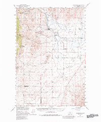
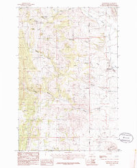
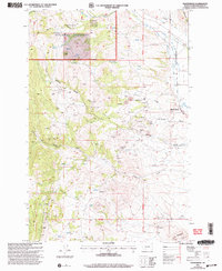
Historical Maps of Radersburg Through Time
4 maps found