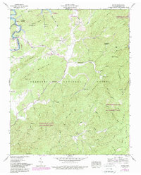
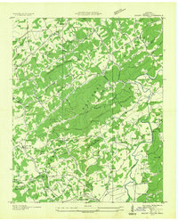
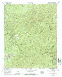
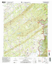
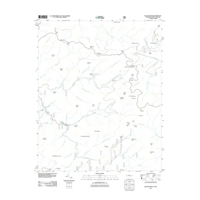
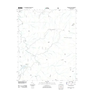
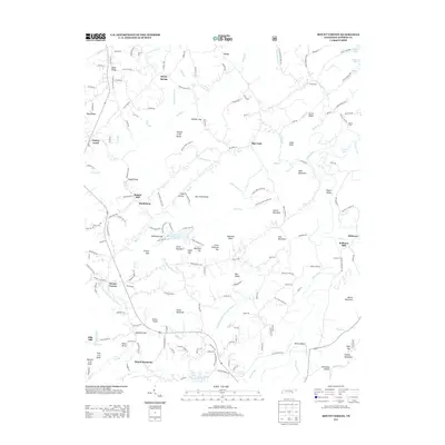
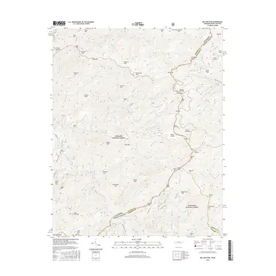
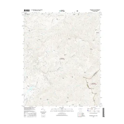
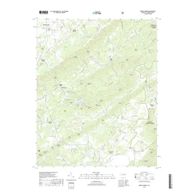
1984 Map of Rafter
USGS Topo · Published 1989About this map
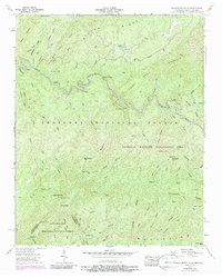
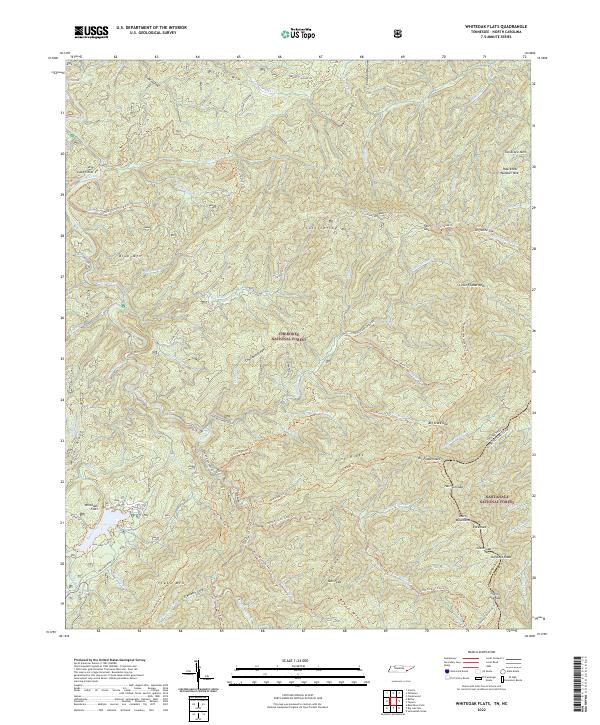
Ballplay Creek meanders through this Monroe County landscape, which by the 1980s reflected the development of the Tellico Lake reservoir. The map records a complex rural social structure through its dispersed religious and educational sites, including the Ebenezer Ballplay Ch, Oak Grove Ch, and Ballplay Sch. Settlements such as Tariffville and Rafter serve as focal points for local history, while the surrounding Cherokee National Forest and Cherokee Wildlife Management Area preserve the area's timbered character.
Find a feature on this map
65 named features on this map. Tap any name to fly to it.
Don’t see what you’re looking for? This feature index may not catch every label — zoom into the map to look around manually.
Map Details
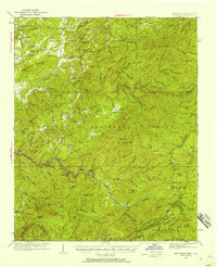
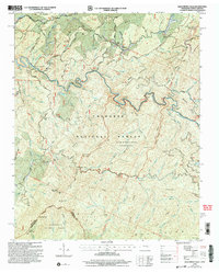
Editions of this 1984 Rafter Map
This is the sole edition of this map. No revisions or reprints were ever made.
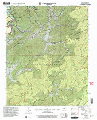
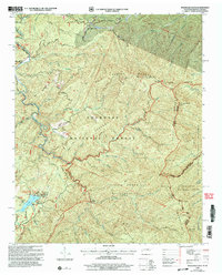
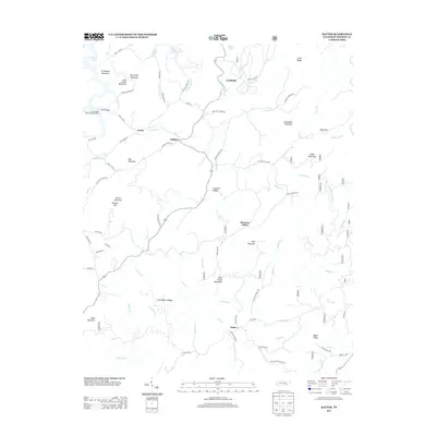
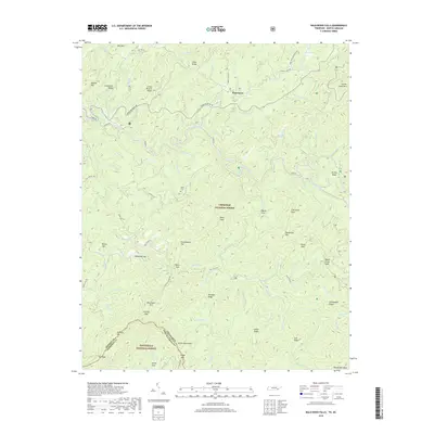
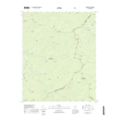
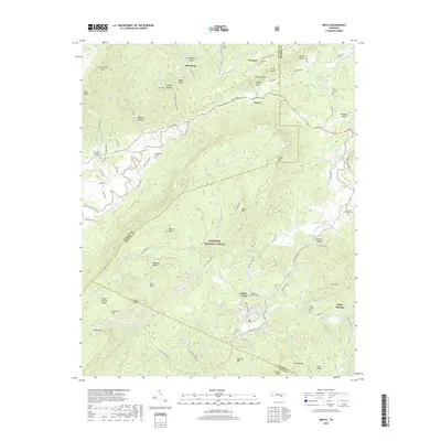
Historical Maps of Tariffville Through Time
53 maps found

1927 Big Junction
Monroe County, TN

1933 Bald River Falls
Monroe County, TN
1933 Haw Knob
Monroe County, TN
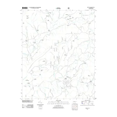
1933 Rafter
Monroe County, TN
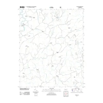
1933 Whiteoak Flats
Monroe County, TN

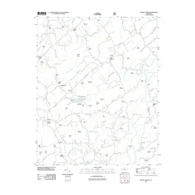
1934 Mecca
Monroe County, TN
1934 Mount Vernon
Monroe County, TN

1935 Tellico
Monroe County, TN
1937 Haw Knob
Monroe County, TN
1943 Tellico
Monroe County, TN
1946 Mount Vernon
Monroe County, TN
1957 Bald River Falls
Monroe County, TN
1957 Big Junction
Monroe County, TN
1957 Mecca
Monroe County, TN
1957 Rafter
Monroe County, TN
1957 Whiteoak Flats
Monroe County, TN
1984 Rafter
Monroe County, TN
2003 Bald River Falls
Monroe County, TN
2003 Big Junction
Monroe County, TN
2003 Mecca
Monroe County, TN
2003 Mount Vernon
Monroe County, TN
2003 Rafter
Monroe County, TN
2003 Whiteoak Flats
Monroe County, TN
2011 Bald River Falls
Monroe County, TN
2011 Big Junction
Monroe County, TN
2011 Mecca
Monroe County, TN
2011 Mount Vernon
Monroe County, TN
2011 Rafter
Monroe County, TN
2011 Whiteoak Flats
Monroe County, TN
2013 Bald River Falls
Monroe County, TN
2013 Big Junction
Monroe County, TN
2013 Mecca
Monroe County, TN
2013 Mount Vernon
Monroe County, TN
2013 Rafter
Monroe County, TN
2013 Whiteoak Flats
Monroe County, TN
2016 Bald River Falls
Monroe County, TN
2016 Big Junction
Monroe County, TN
2016 Mecca
Monroe County, TN
2016 Mount Vernon
Monroe County, TN
2016 Rafter
Monroe County, TN
2016 Whiteoak Flats
Monroe County, TN
2019 Bald River Falls
Monroe County, TN
2019 Big Junction
Monroe County, TN
2019 Mecca
Monroe County, TN
2019 Mount Vernon
Monroe County, TN
2019 Rafter
Monroe County, TN
2019 Whiteoak Flats
Monroe County, TN
2022 Bald River Falls
Monroe County, TN
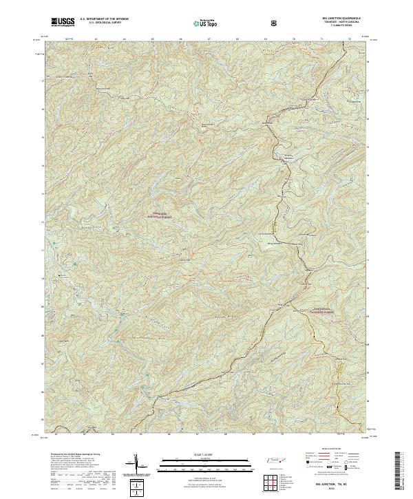
2022 Big Junction
Monroe County, TN
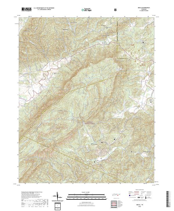
2022 Mecca
Monroe County, TN
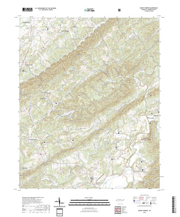
2022 Mount Vernon
Monroe County, TN
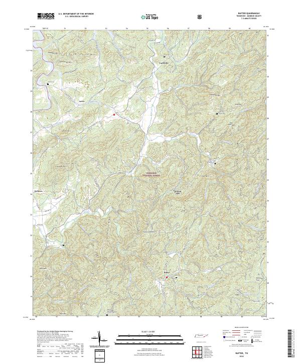
2022 Rafter
Monroe County, TN
2022 Whiteoak Flats
Monroe County, TN