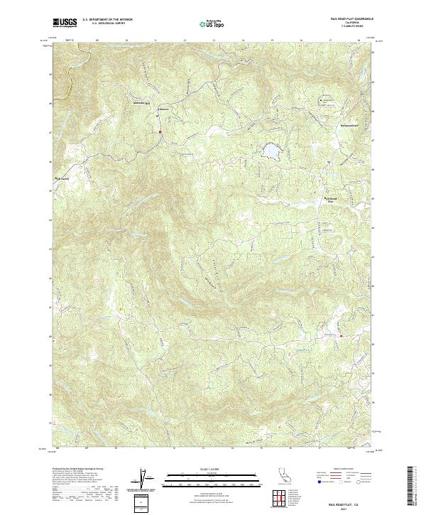
2021 Map of Rail Road Flat
USGS Topo · Published 2021About this map
The Middle Fork Mokelumne River and the S Fork Mokelumne River converge along the northern edge of this terrain, where the Calaveras and Amador county lines meet. The landscape is defined by its deep drainages, including Valentine Gulch and Humbug Gulch, which feed into the larger river systems. Historically significant routes like the Old Emigrant Trail cross the southeastern reaches, hinting at the area's role in early California migration.
Find a feature on this map
99 named features on this map. Tap any name to fly to it.
Don’t see what you’re looking for? This feature index may not catch every label — zoom into the map to look around manually.
Map Details
Editions of this 2021 Rail Road Flat Map
This is the sole edition of this map. No revisions or reprints were ever made.
Other maps of this area

1889 · Jackson
USGS Topo · 1:125,000

1891 · Big Trees
USGS Topo · 1:125,000

1892 · Jackson
USGS Topo · 1:125,000

1894 · Big Trees
USGS Topo · 1:125,000

1897 · Jackson
USGS Topo · 1:125,000

1897 · Big Trees
USGS Topo · 1:125,000

1901 · Big Trees
USGS Topo · 1:125,000

1902 · Jackson
USGS Topo · 1:125,000

1945 · San Andreas
USGS Topo · 1:62,500

1947 · San Andreas
USGS Topo · 1:62,500