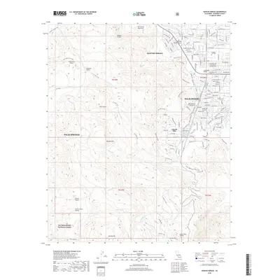
2018 Map of Rancho Mirage
USGS Topo · Published 2018About this map
Rancho Mirage and Palm Desert anchor the Coachella Valley in this modern survey, where the urban grid meets the steep eastern slopes of the San Jacinto Mountains. The landscape is defined by the contrast between developed residential enclaves and the protected wilderness of the San Bernardino National Forest. While the northern edge of the map shows the manicured environment around the College of the Desert and the Saint Margaret's Episcopal Church Columbarium, the southern and western portions are dominated by an intricate network of hiking routes including the Art Smith Trail and the evocatively named Hopalong Cassidy and Bump and Grind trails. Water sources like Magnesia Spring and Potrero Spring are marked deep within the arid canyons, highlighting the essential desert landmarks that historically dictated movement through the Cahuilla Hills.
Find a feature on this map
43 named features on this map. Tap any name to fly to it.
Don’t see what you’re looking for? This feature index may not catch every label — zoom into the map to look around manually.
Map Details
Editions of this 2018 Rancho Mirage Map
This is the sole edition of this map. No revisions or reprints were ever made.
Other maps of this area

1901 · Southern California Sheet No. 1
USGS Topo · 1:250,000

1901 · San Jacinto
USGS Topo · 1:125,000

1904 · Indio
USGS Topo · 1:125,000

1904 · Southern California Sheet No. 1
USGS Topo · 1:250,000

1940 · Palm Springs
USGS Topo · 1:62,500

1940 · Hemet Reservoir
USGS Topo · 1:62,500

1941 · Toro Peak
USGS Topo · 1:62,500

1941 · Edom
USGS Topo · 1:62,500

1942 · Hemet Reservoir
USGS Topo · 1:62,500

1944 · Toro peak
USGS Topo · 1:62,500