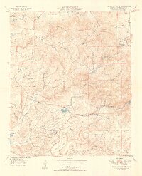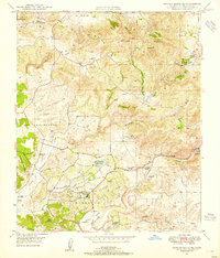
1948 Map of Rancho Santa Fe
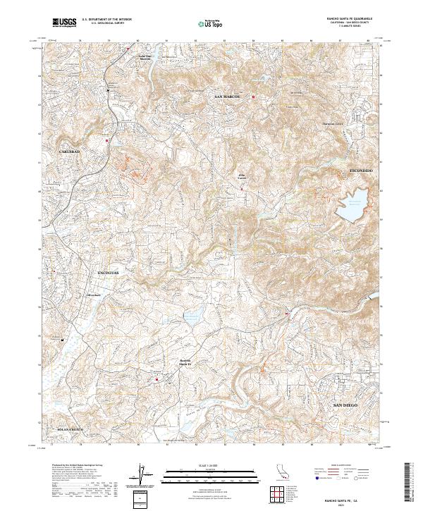
USGS Topo · Published 1955About this map
Rancho Santa Fe and the surrounding coastal canyons of San Diego County are captured here in the late 1940s, showcasing a landscape defined by historic land grants and early citrus-era development. The map details the transition from the high peaks of Double Peak and Mt. Whitney down through the winding San Elijo Canyon toward the Pacific. Settlement patterns are concentrated around established hubs like Olivenhain and the planned community of Rancho Santa Fe, while more rural outposts like Harmony Grove and Fairbanks Ranch sit amidst a network of private estates and agricultural valleys.
Find a feature on this map
29 named features on this map. Tap any name to fly to it.
Don’t see what you’re looking for? This feature index may not catch every label — zoom into the map to look around manually.
Map Details
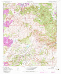
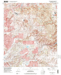
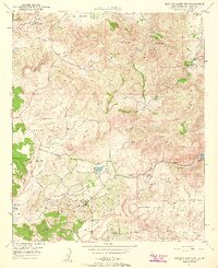
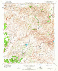
Editions of this 1948 Rancho Santa Fe Map
3 editions found
Historical Maps of San Diego Through Time
5 maps found