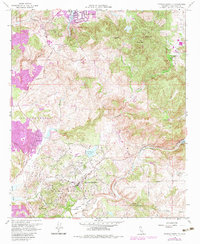
1968 Map of Rancho Santa Fe
USGS Topo · Published 1983About this map
Rancho Santa Fe and the surrounding coastal hills of San Diego County are captured here during a period of transition, showing the established rural layouts of the late 1960s with purple-ink updates reflecting expansion through the early 1980s. The landscape is defined by the winding course of Escondido Creek and the San Dieguito River, which feed into landmarks like the San Dieguito Reservoir and Lake Hodges. Local heritage is anchored by the Olivenhain Cemetery and the settlement at Osuña, while the northern portion of the map features prominent elevations such as Mt Whitney, Double Peak, and Cerro de las Posas. The road network, including the historic El Camino Del Norte and Via De La Valle, illustrates the connectivity between older agricultural areas like Harmony Grove and the burgeoning suburban development near Vallecitos and Olivenhain.
Find a feature on this map
41 named features on this map. Tap any name to fly to it.
Don’t see what you’re looking for? This feature index may not catch every label — zoom into the map to look around manually.
Map Details
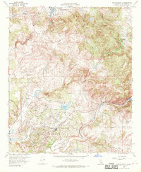
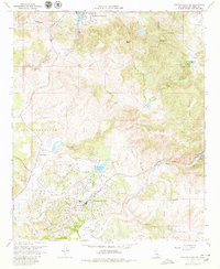
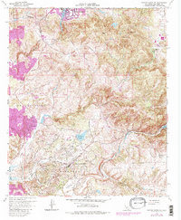
Editions of this 1968 Rancho Santa Fe Map
4 editions found
Other maps of this area

1893 · Oceanside
USGS Topo · 1:62,500

1893 · Escondido
USGS Topo · 1:62,500

1898 · Oceanside
USGS Topo · 1:62,500

1901 · Escondido
USGS Topo · 1:62,500

1901 · Oceanside
USGS Topo · 1:62,500

1901 · San Luis Rey
USGS Topo · 1:125,000

1903 · La Jolla
USGS Topo · 1:62,500

1904 · Southern California Sheet No. 2
USGS Topo · 1:250,000

1930 · La Jolla
USGS Topo · 1:62,500

1942 · Poway Valley
USGS Topo · 1:31,680