
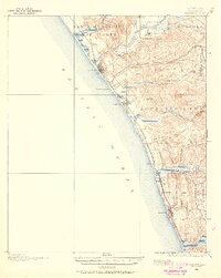
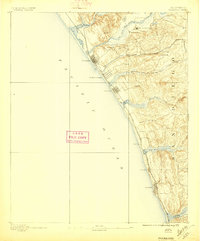
1898 Map of Oceanside
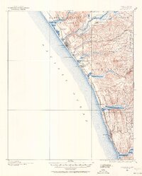
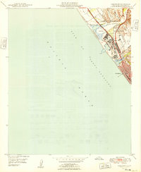
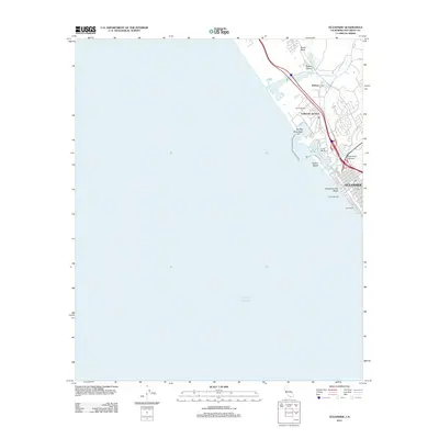
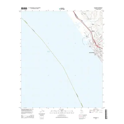
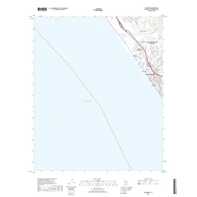
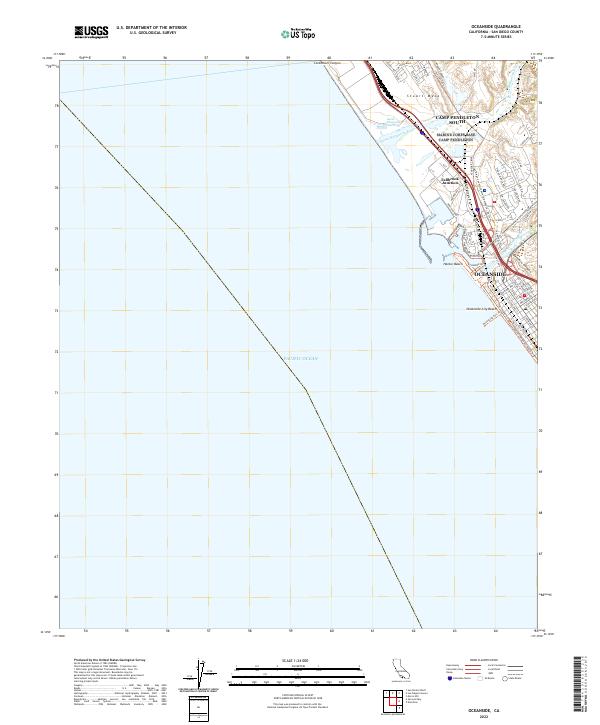
USGS Topo · Published 1955About this map
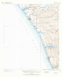
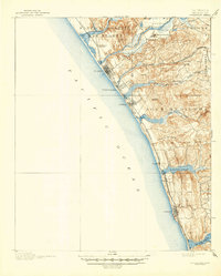
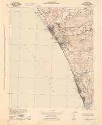
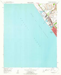
The San Luis Rey Mission anchors the northern landscape of this coastal survey, where the San Luis Rey River meets the coast. At the turn of the century, the region's development followed the tracks of the Southern California R. R. (Surf Line), which tied together growing seaside towns like Oceanside and Carlsbad. This rail-oriented settlement pattern is particularly evident at Los Angeles Junction and South Oceanside, where the infrastructure of the S. C. R. R. connected the interior valleys to the Pacific shoreline.
Find a feature on this map
34 named features on this map. Tap any name to fly to it.
Don’t see what you’re looking for? This feature index may not catch every label — zoom into the map to look around manually.
Map Details
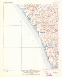
Editions of this 1898 Oceanside Map
5 editions found
Historical Maps of Oceanside Through Time
13 maps found
1893 Oceanside
San Diego County, CA
1898 Oceanside
San Diego County, CA
1901 Oceanside
San Diego County, CA
1942 Oceanside
San Diego County, CA
1947 Oceanside
San Diego County, CA
1949 Oceanside
San Diego County, CA
1968 Oceanside
San Diego County, CA
1982 Oceanside
San Diego County, CA
1997 Oceanside
San Diego County, CA
2012 Oceanside
San Diego County, CA
2015 Oceanside
San Diego County, CA
2018 Oceanside
San Diego County, CA
2022 Oceanside
San Diego County, CA