
1901 Map of Oceanside
USGS Topo · Published 1901About this map
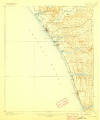
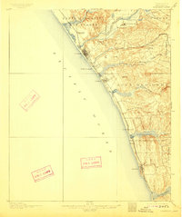
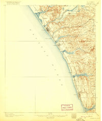
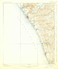
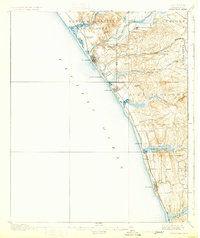
San Luis Rey Mission stands as a focal point in this coastal survey, which documents the northern San Diego County shoreline during a period of transition from Spanish land grant legacies to burgeoning rail-side settlements. The landscape is organized by large historical boundaries like Santa Margarita y Las Flores and Encinitas, while the newly established Southern California Railway (Surf Line) dictates the placement of towns like Oceanside and Encinitas.
Find a feature on this map
34 named features on this map. Tap any name to fly to it.
Don’t see what you’re looking for? This feature index may not catch every label — zoom into the map to look around manually.
Map Details
Editions of this 1901 Oceanside Map
8 editions found
Other maps of this area

1893 · Oceanside
USGS Topo · 1:62,500

1893 · Escondido
USGS Topo · 1:62,500

1898 · Oceanside
USGS Topo · 1:62,500

1901 · Escondido
USGS Topo · 1:62,500

1901 · San Luis Rey
USGS Topo · 1:125,000

1902 · Capistrano
USGS Topo · 1:125,000

1903 · La Jolla
USGS Topo · 1:62,500

1904 · Southern California Sheet No. 2
USGS Topo · 1:250,000

1906 · Capistrano
USGS Topo · 1:125,000

1930 · La Jolla
USGS Topo · 1:62,500