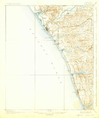
1901 Map of Oceanside
USGS Topo · Published 1925About this map
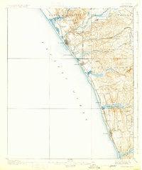
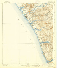
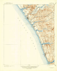
The coastal shelf of San Diego County is defined by a series of significant lagoons and rancho boundaries in this late 19th-century survey. The historic San Luis Rey Mission serves as a northern anchor near the San Luis Rey River, while the emerging seaside communities of Oceanside, Carlsbad, and Encinitas are connected by the Southern California R. R. and its coastal Surf Line. The topography is characterized by inland canyons like Los Monos Canyon and prominent coastal elevations such as Loma Alta Mt. and Cerro de la Calavera. Extensive land grants, including Santa Margarita y Las Flores and Agua Hedionda, reveal the region's transition from pastoral estates to early agricultural and railroad-based settlements. Coastal hydrology is prominent through the tidal waters of Battiquitos Lagoon and San Elijo Lagoon.
Find a feature on this map
35 named features on this map. Tap any name to fly to it.
Don’t see what you’re looking for? This feature index may not catch every label — zoom into the map to look around manually.
Map Details
Editions of this 1901 Oceanside Map
8 editions found
Other maps of this area

1893 · Oceanside
USGS Topo · 1:62,500

1893 · Escondido
USGS Topo · 1:62,500

1898 · Oceanside
USGS Topo · 1:62,500

1901 · Escondido
USGS Topo · 1:62,500

1901 · Oceanside
USGS Topo · 1:62,500

1901 · San Luis Rey
USGS Topo · 1:125,000

1902 · Capistrano
USGS Topo · 1:125,000

1903 · La Jolla
USGS Topo · 1:62,500

1904 · Southern California Sheet No. 2
USGS Topo · 1:250,000

1906 · Capistrano
USGS Topo · 1:125,000