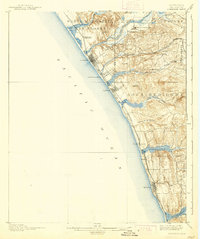
1901 Map of Oceanside
USGS Topo · Published 1939About this map
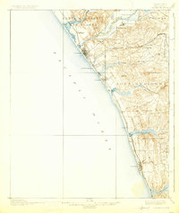
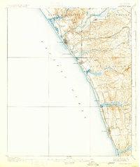
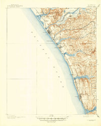
The coastal settlements of Northern San Diego County are captured here during a formative period of growth between the late 19th-century surveys and this turn-of-the-century edition. Oceanside and Carlsbad appear as developing coastal hubs, while the San Luis Rey Mission stands as a landmark of earlier Californian history just inland along the San Luis Rey River. The landscape is defined by its dramatic interaction with the Pacific Ocean, characterized by a series of significant coastal wetlands including Batiquitos Lagoon and San Elijo Lagoon. Transportation is dominated by the Southern California Railroad (Surf Line), which hugs the coastline and connects smaller stops like Lacosta, Merle, and Encinitas. Inland, the terrain rises into named heights such as Mission Mt. and Fire Mt., while the canyons of Los Monos Canyon and Canyon de las Encinas reveal the natural drainage patterns that shaped local development.
Find a feature on this map
38 named features on this map. Tap any name to fly to it.
Don’t see what you’re looking for? This feature index may not catch every label — zoom into the map to look around manually.
Map Details
Editions of this 1901 Oceanside Map
8 editions found
Other maps of this area

1893 · Oceanside
USGS Topo · 1:62,500

1893 · Escondido
USGS Topo · 1:62,500

1898 · Oceanside
USGS Topo · 1:62,500

1901 · Escondido
USGS Topo · 1:62,500

1901 · Oceanside
USGS Topo · 1:62,500

1901 · San Luis Rey
USGS Topo · 1:125,000

1902 · Capistrano
USGS Topo · 1:125,000

1903 · La Jolla
USGS Topo · 1:62,500

1904 · Southern California Sheet No. 2
USGS Topo · 1:250,000

1906 · Capistrano
USGS Topo · 1:125,000