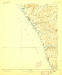
1901 Map of Oceanside
USGS Topo · Published 1907About this map
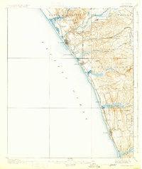
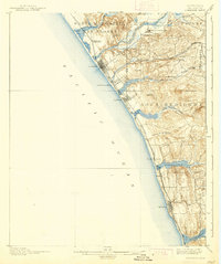
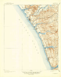
Coastal San Diego County is defined here by its early railroad junctions and historic Spanish influence, specifically centered on the San Luis Rey Mission and the inland settlement of San Luis Rey. The landscape is segmented by significant drainage systems including the Santa Margarita River and Agua Hedionda Creek, which feed into coastal features like the Batiquitos Lagoon. Transportation is dominated by the Southern California Railway (Surf Line), which connects the burgeoning beachside towns of Oceanside, Carlsbad, and Encinitas. The survey captures the region before heavy coastal development, showing the original street grids of South Oceanside and small landings like Lacosta. Inland, the map details the Spanish land grant legacies of Guajome and Buena Vista, alongside prominent peaks like Cerro de la Calavera and Mission Mt.
Find a feature on this map
34 named features on this map. Tap any name to fly to it.
Don’t see what you’re looking for? This feature index may not catch every label — zoom into the map to look around manually.
Map Details
Editions of this 1901 Oceanside Map
8 editions found
Other maps of this area

1893 · Oceanside
USGS Topo · 1:62,500

1893 · Escondido
USGS Topo · 1:62,500

1898 · Oceanside
USGS Topo · 1:62,500

1901 · Escondido
USGS Topo · 1:62,500

1901 · Oceanside
USGS Topo · 1:62,500

1901 · San Luis Rey
USGS Topo · 1:125,000

1902 · Capistrano
USGS Topo · 1:125,000

1903 · La Jolla
USGS Topo · 1:62,500

1904 · Southern California Sheet No. 2
USGS Topo · 1:250,000

1906 · Capistrano
USGS Topo · 1:125,000