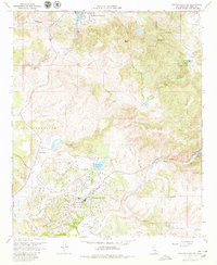
1968 Map of Rancho Santa Fe
USGS Topo · Published 1979About this map
Rancho Santa Fe serves as the focal point of this late 1960s landscape, showcasing an era of transition as residential development and leisure infrastructure like the San Diego Golf Course began to shape the inland canyons. The map preserves the footprint of historic ranchos and early settlements, including Rancho de los Quiotes, Olivenhain, and Osuna. Notable infrastructure, such as the San Diego Aqueduct, underscores the vital water management required for this growing region, while the San Dieguito Reservoir and Lake San Marcos provide significant water landmarks.
Find a feature on this map
32 named features on this map. Tap any name to fly to it.
Don’t see what you’re looking for? This feature index may not catch every label — zoom into the map to look around manually.
Map Details
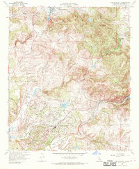
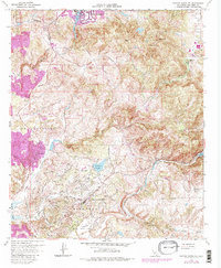
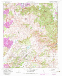
Editions of this 1968 Rancho Santa Fe Map
4 editions found
Other maps of this area

1893 · Oceanside
USGS Topo · 1:62,500

1893 · Escondido
USGS Topo · 1:62,500

1898 · Oceanside
USGS Topo · 1:62,500

1901 · Escondido
USGS Topo · 1:62,500

1901 · Oceanside
USGS Topo · 1:62,500

1901 · San Luis Rey
USGS Topo · 1:125,000

1903 · La Jolla
USGS Topo · 1:62,500

1904 · Southern California Sheet No. 2
USGS Topo · 1:250,000

1930 · La Jolla
USGS Topo · 1:62,500

1942 · Poway Valley
USGS Topo · 1:31,680