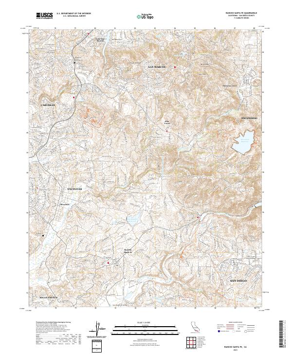
2021 Map of Rancho Santa Fe
USGS Topo · Published 2021About this map
Rancho Santa Fe and the surrounding San Diego County hills are defined by a complex network of canyons and reservoirs in this 2021 study. The landscape transitions from the suburban edges of San Marcos and Carlsbad into the more open, high-relief terrain of Elfin Forest and the Osuna Valley. Key hydrological features including the San Dieguito Reservoir and Olivenhain Reservoir are prominent, alongside the massive engineering of the Second San Diego Aqueduct. Genealogists and local historians can locate the Meadowlark Pioneer Memorial Cem near the northern boundary and the Olivenhain Pioneer Cem to the west. The area is also crisscrossed by modern recreation paths like the Lusardi Creek Loop Trl and Whiptail Loop Trl, which navigate the steep grades of Double Peak and Franks Peak.
Find a feature on this map
49 named features on this map. Tap any name to fly to it.
Don’t see what you’re looking for? This feature index may not catch every label — zoom into the map to look around manually.
Map Details
Editions of this 2021 Rancho Santa Fe Map
This is the sole edition of this map. No revisions or reprints were ever made.
Other maps of this area

1893 · Oceanside
USGS Topo · 1:62,500

1893 · Escondido
USGS Topo · 1:62,500

1898 · Oceanside
USGS Topo · 1:62,500

1901 · Escondido
USGS Topo · 1:62,500

1901 · Oceanside
USGS Topo · 1:62,500

1901 · San Luis Rey
USGS Topo · 1:125,000

1903 · La Jolla
USGS Topo · 1:62,500

1904 · Southern California Sheet No. 2
USGS Topo · 1:250,000

1930 · La Jolla
USGS Topo · 1:62,500

1942 · Poway Valley
USGS Topo · 1:31,680