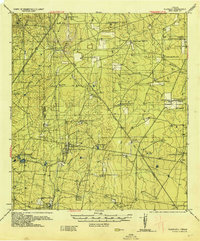
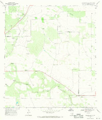
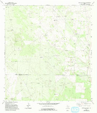
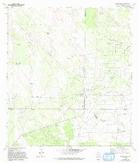
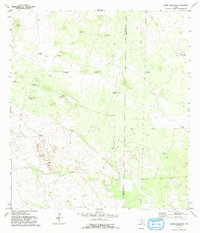
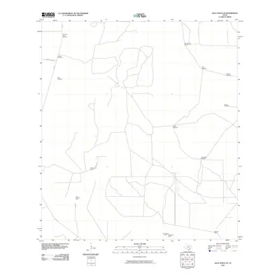
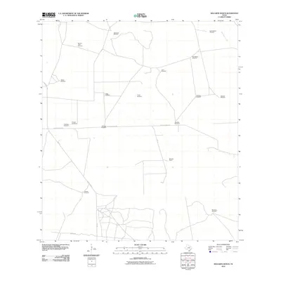
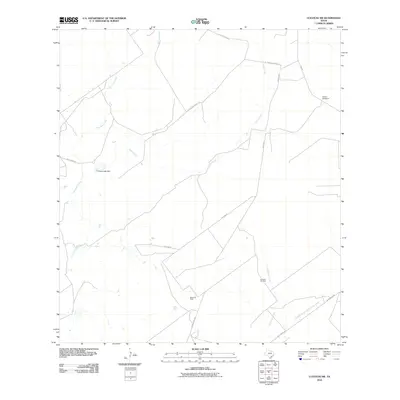
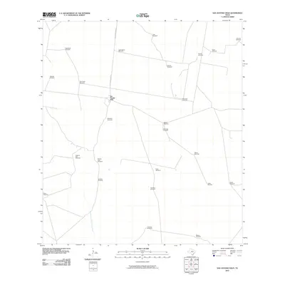
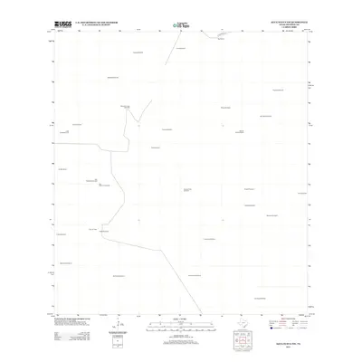
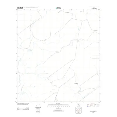
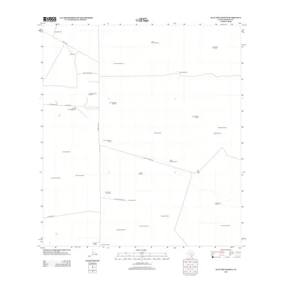
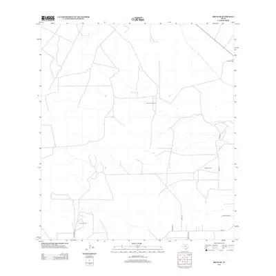
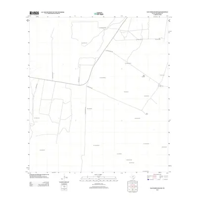
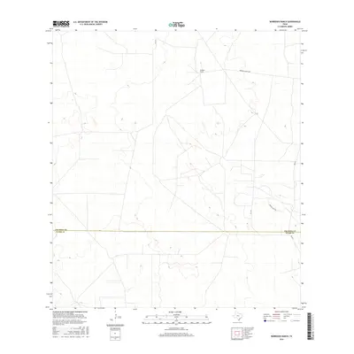
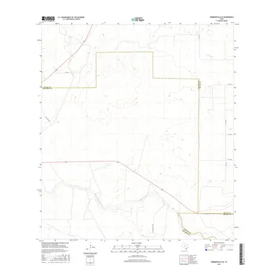
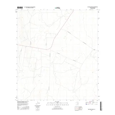
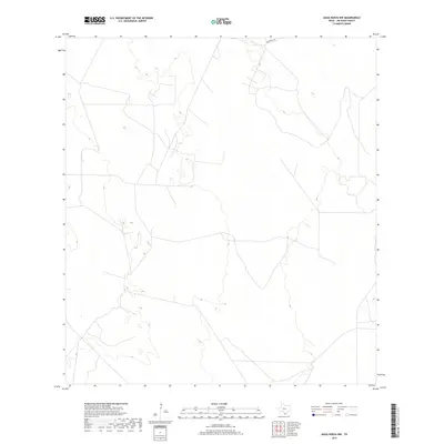
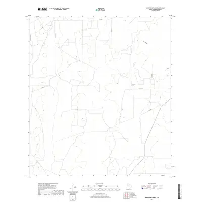
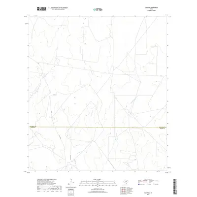
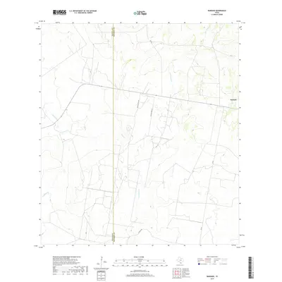
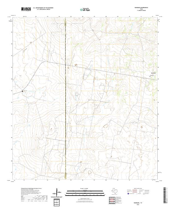
1940 Map of Randado
USGS Topo · Published 1940About this map
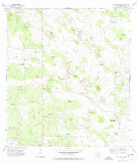
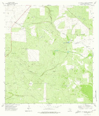
Ranching and early petroleum development define this South Texas landscape on the eve of World War II. The settlement of Randado serves as the central hub for a vast network of family landholdings, including De La Garza Ranch, Lopez Ranch, and San Rafael Ranch. The map captures the significant infrastructure of the Texas oil boom, showing the Randado Oil Field and Las Animas Oil Field alongside the Buffalo Oil Co. and numerous water tanks essential for sustaining both cattle and industry in this arid environment.
Find a feature on this map
42 named features on this map. Tap any name to fly to it.
Don’t see what you’re looking for? This feature index may not catch every label — zoom into the map to look around manually.
Map Details
Editions of this 1940 Randado Map
This is the sole edition of this map. No revisions or reprints were ever made.
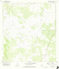
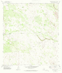
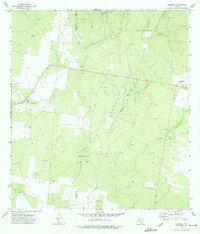
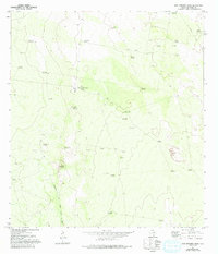
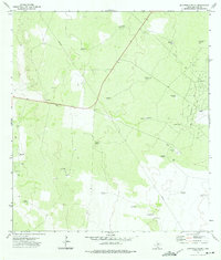
Historical Maps of Zapata County Through Time
112 maps found
1938 Agua Nueva
Jim Hogg County, TX
1938 Cuevitas
Jim Hogg County, TX
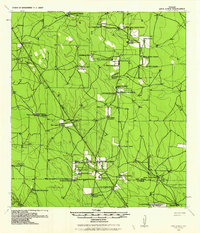
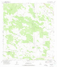
1939 Randado
Jim Hogg County, TX
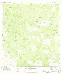
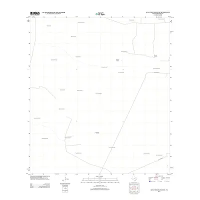
1940 Randado
Jim Hogg County, TX
1967 Hebbronville SE
Jim Hogg County, TX
1972 Agua Nueva
Jim Hogg County, TX
1972 Agua Nueva NW
Jim Hogg County, TX
1972 Agua Nueva SE
Jim Hogg County, TX
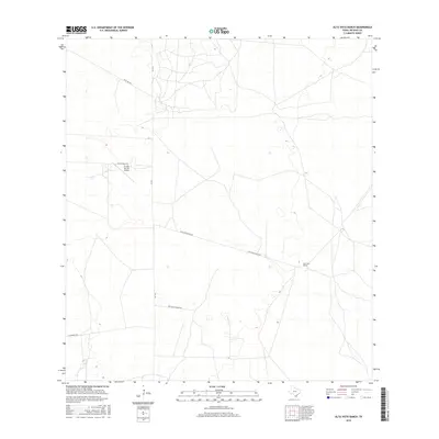
1972 Alta Vista Ranch
Jim Hogg County, TX
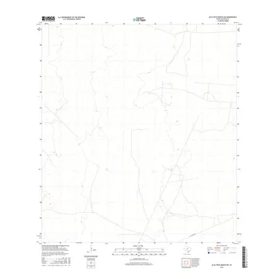
1972 Alta Vista Ranch SW
Jim Hogg County, TX
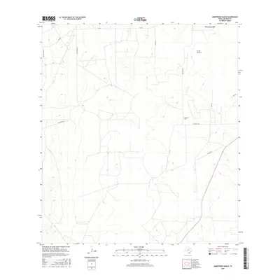
1972 Armstrong Ranch
Jim Hogg County, TX
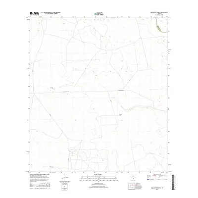
1972 Baluarte Ranch
Jim Hogg County, TX
1972 Borregos Ranch
Jim Hogg County, TX
1972 Bruni SE
Jim Hogg County, TX
1972 Cuevitas
Jim Hogg County, TX
1972 Cuevitas SW
Jim Hogg County, TX
1972 McCampbell Ranch
Jim Hogg County, TX
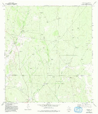
1972 Randado
Jim Hogg County, TX
1972 San Antonio Viejo
Jim Hogg County, TX
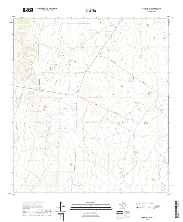
1972 San Pablo Ranch
Jim Hogg County, TX
1972 Santa Elena
Jim Hogg County, TX
1972 Santa Elena NW
Jim Hogg County, TX
2010 Agua Nueva
Jim Hogg County, TX
2010 Agua Nueva NW
Jim Hogg County, TX
2010 Agua Nueva SE
Jim Hogg County, TX
2010 Alta Vista Ranch
Jim Hogg County, TX
2010 Alta Vista Ranch SW
Jim Hogg County, TX
2010 Armstrong Ranch
Jim Hogg County, TX
2010 Baluarte Ranch
Jim Hogg County, TX
2010 Borregos Ranch
Jim Hogg County, TX
2010 Bruni SE
Jim Hogg County, TX
2010 Cuevitas
Jim Hogg County, TX
2010 Cuevitas SW
Jim Hogg County, TX
2010 Hebbronville SE
Jim Hogg County, TX
2010 McCampbell Ranch
Jim Hogg County, TX
2010 Randado
Jim Hogg County, TX
2010 San Antonio Viejo
Jim Hogg County, TX
2010 San Pablo Ranch
Jim Hogg County, TX

2010 Santa Elena
Jim Hogg County, TX
2010 Santa Elena NW
Jim Hogg County, TX
2012 Agua Nueva
Jim Hogg County, TX
2012 Agua Nueva NW
Jim Hogg County, TX
2012 Agua Nueva SE
Jim Hogg County, TX
2012 Borregos Ranch
Jim Hogg County, TX
2012 Cuevitas
Jim Hogg County, TX
2012 Cuevitas SW
Jim Hogg County, TX
2012 San Antonio Viejo
Jim Hogg County, TX
2012 Santa Elena
Jim Hogg County, TX
2012 Santa Elena NW
Jim Hogg County, TX
2013 Alta Vista Ranch
Jim Hogg County, TX
2013 Alta Vista Ranch SW
Jim Hogg County, TX
2013 Armstrong Ranch
Jim Hogg County, TX
2013 Baluarte Ranch
Jim Hogg County, TX
2013 Bruni SE
Jim Hogg County, TX
2013 Hebbronville SE
Jim Hogg County, TX
2013 McCampbell Ranch
Jim Hogg County, TX
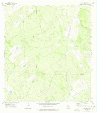
2013 Randado
Jim Hogg County, TX
2013 San Pablo Ranch
Jim Hogg County, TX
2016 Agua Nueva
Jim Hogg County, TX
2016 Agua Nueva NW
Jim Hogg County, TX
2016 Agua Nueva SE
Jim Hogg County, TX
2016 Alta Vista Ranch
Jim Hogg County, TX
2016 Alta Vista Ranch SW
Jim Hogg County, TX
2016 Armstrong Ranch
Jim Hogg County, TX
2016 Baluarte Ranch
Jim Hogg County, TX
2016 Borregos Ranch
Jim Hogg County, TX
2016 Bruni SE
Jim Hogg County, TX
2016 Cuevitas
Jim Hogg County, TX
2016 Cuevitas SW
Jim Hogg County, TX
2016 Hebbronville SE
Jim Hogg County, TX
2016 McCampbell Ranch
Jim Hogg County, TX
2016 Randado
Jim Hogg County, TX
2016 San Antonio Viejo
Jim Hogg County, TX
2016 San Pablo Ranch
Jim Hogg County, TX
2016 Santa Elena
Jim Hogg County, TX
2016 Santa Elena NW
Jim Hogg County, TX
2019 Agua Nueva
Jim Hogg County, TX
2019 Agua Nueva NW
Jim Hogg County, TX
2019 Agua Nueva SE
Jim Hogg County, TX
2019 Alta Vista Ranch
Jim Hogg County, TX
2019 Alta Vista Ranch SW
Jim Hogg County, TX
2019 Armstrong Ranch
Jim Hogg County, TX
2019 Baluarte Ranch
Jim Hogg County, TX
2019 Borregos Ranch
Jim Hogg County, TX
2019 Bruni SE
Jim Hogg County, TX
2019 Cuevitas
Jim Hogg County, TX
2019 Cuevitas SW
Jim Hogg County, TX
2019 Hebbronville SE
Jim Hogg County, TX
2019 McCampbell Ranch
Jim Hogg County, TX
2019 Randado
Jim Hogg County, TX
2019 San Antonio Viejo
Jim Hogg County, TX
2019 San Pablo Ranch
Jim Hogg County, TX
2019 Santa Elena
Jim Hogg County, TX
2019 Santa Elena NW
Jim Hogg County, TX
2022 Agua Nueva
Jim Hogg County, TX
2022 Agua Nueva NW
Jim Hogg County, TX
2022 Agua Nueva SE
Jim Hogg County, TX
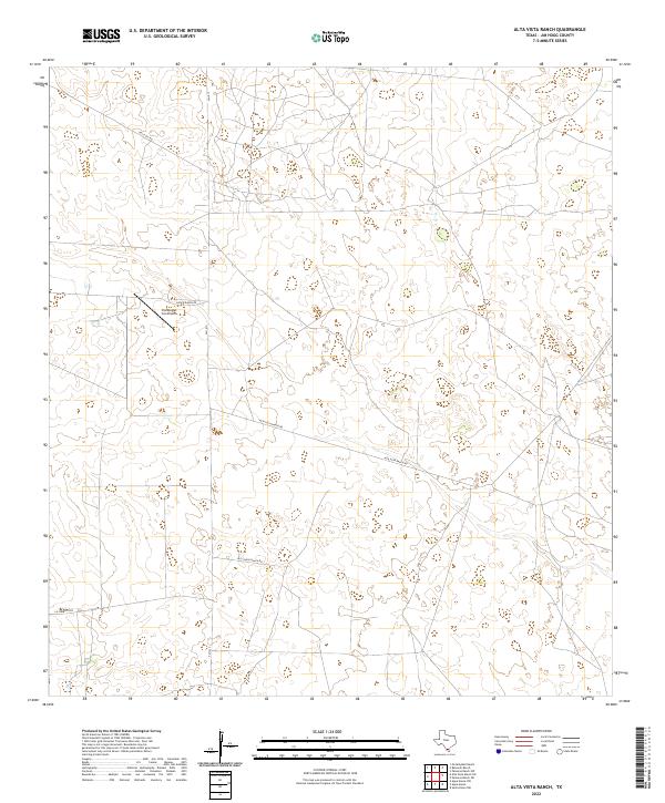
2022 Alta Vista Ranch
Jim Hogg County, TX
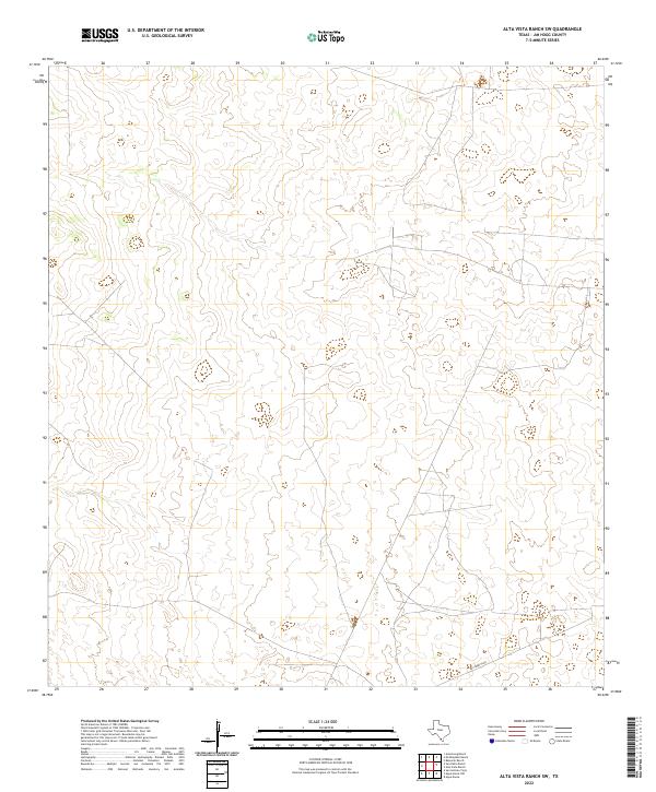
2022 Alta Vista Ranch SW
Jim Hogg County, TX
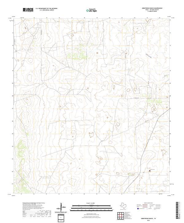
2022 Armstrong Ranch
Jim Hogg County, TX
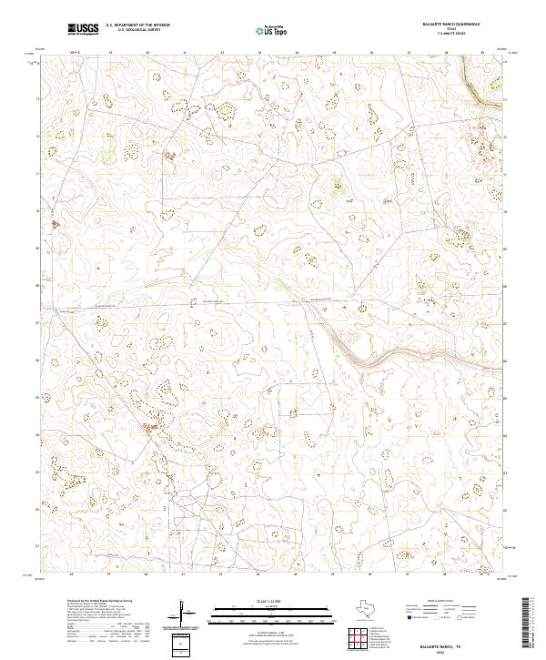
2022 Baluarte Ranch
Jim Hogg County, TX
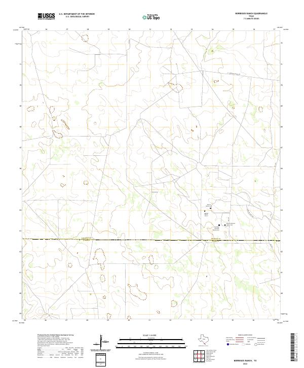
2022 Borregos Ranch
Jim Hogg County, TX
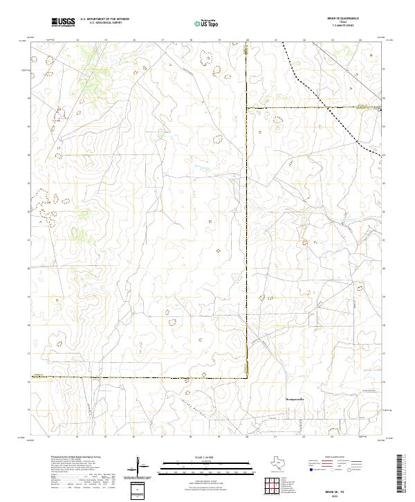
2022 Bruni SE
Jim Hogg County, TX
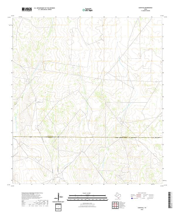
2022 Cuevitas
Jim Hogg County, TX
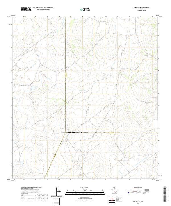
2022 Cuevitas SW
Jim Hogg County, TX
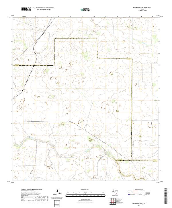
2022 Hebbronville SE
Jim Hogg County, TX
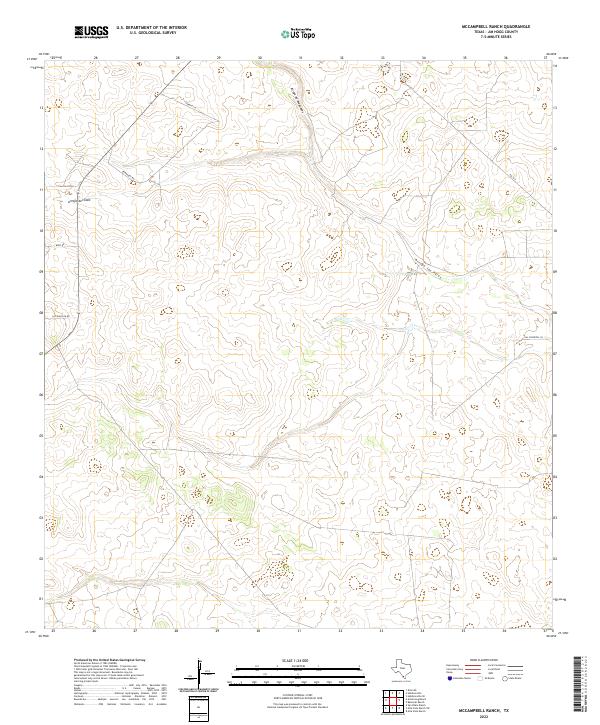
2022 McCampbell Ranch
Jim Hogg County, TX
2022 Randado
Jim Hogg County, TX
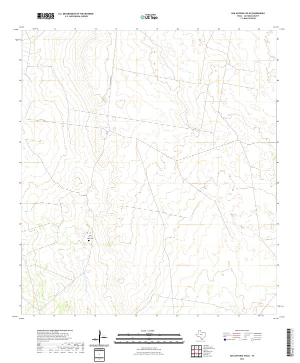
2022 San Antonio Viejo
Jim Hogg County, TX
2022 San Pablo Ranch
Jim Hogg County, TX
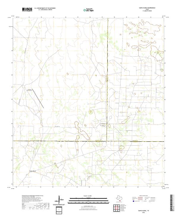
2022 Santa Elena
Jim Hogg County, TX
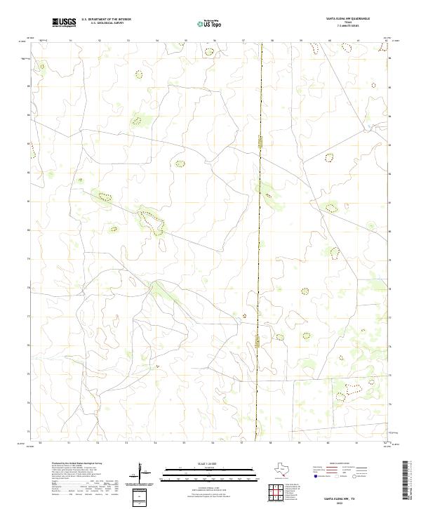
2022 Santa Elena NW
Jim Hogg County, TX