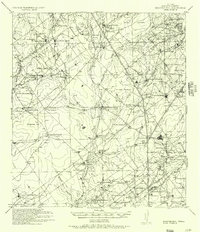
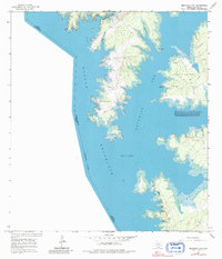
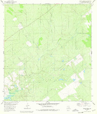
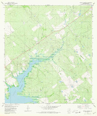
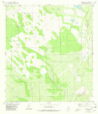
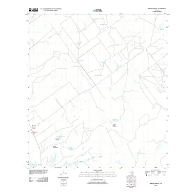
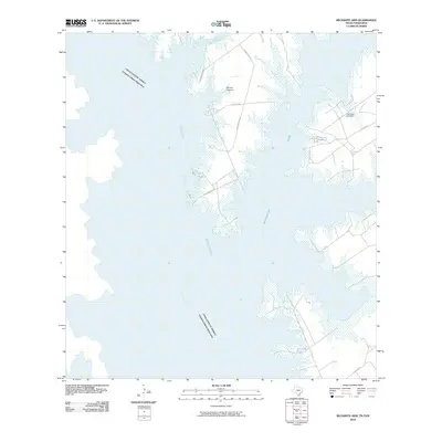
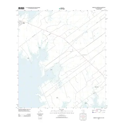
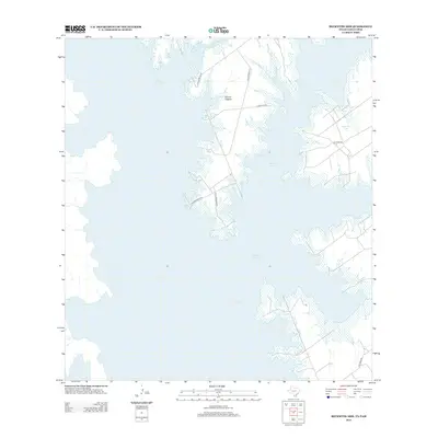
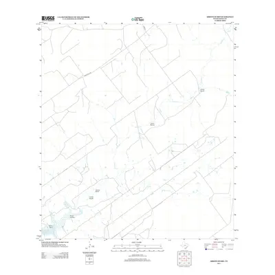
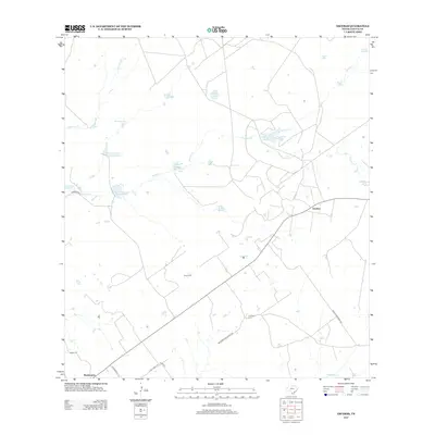
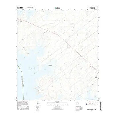
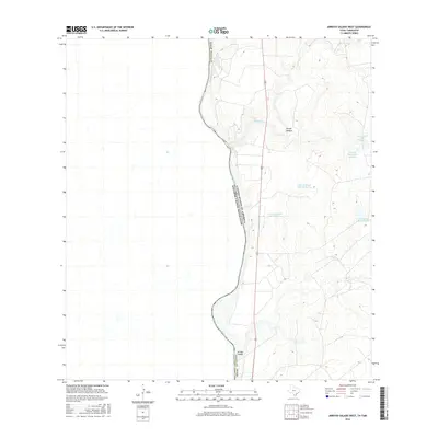
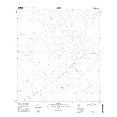
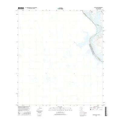
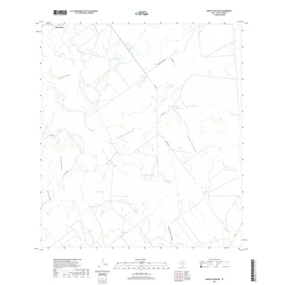
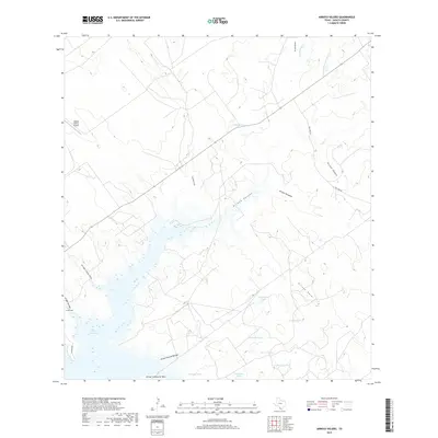
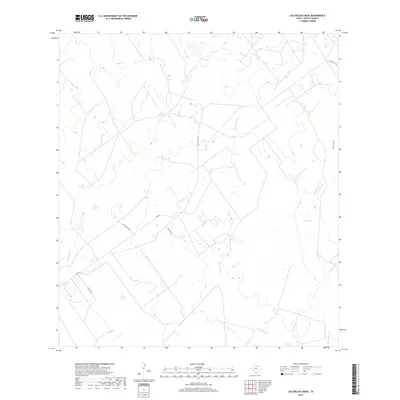
1956 Map of Mogotes Hill
USGS Topo · Published 1956About this map
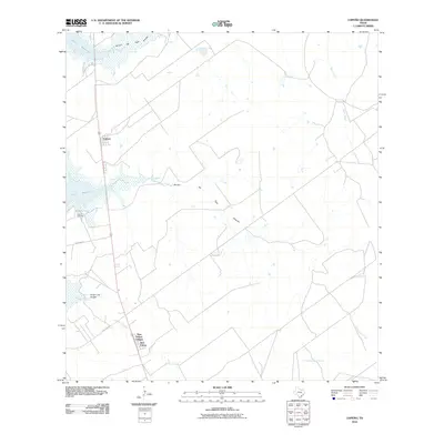
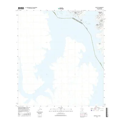
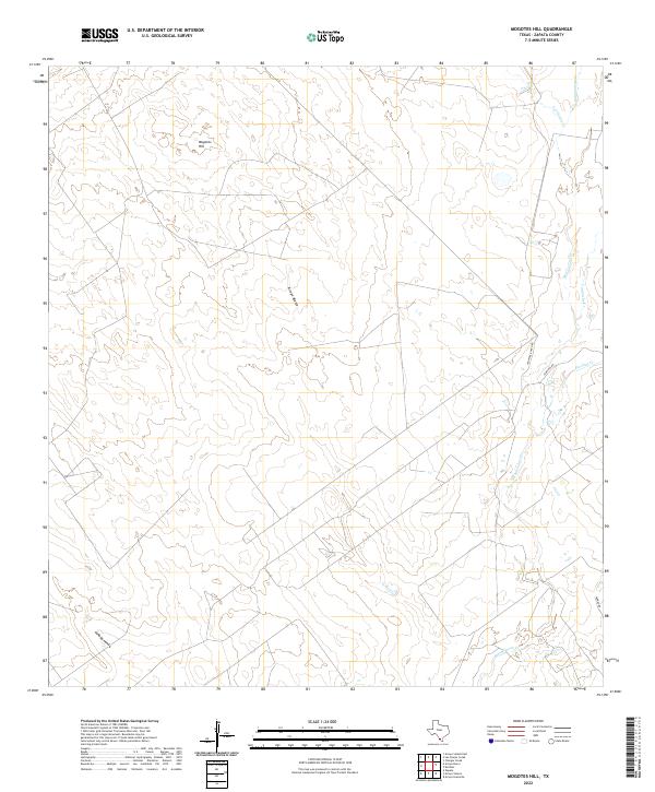
Family ranches and oil exploration dominate this South Texas landscape in Zapata County, as documented by the Corps of Engineers. The settlement of Escobas serves as a local hub near the Guellar Store, surrounded by a network of ranching estates including Salomoneño, Bustamente, and the Mira Flores Ranch. The terrain is defined by the prominent Mogotes Hill and dissected by seasonal watercourses like Muerto Creek and Charcos Creek.
Find a feature on this map
59 named features on this map. Tap any name to fly to it.
Don’t see what you’re looking for? This feature index may not catch every label — zoom into the map to look around manually.
Map Details
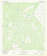
Editions of this 1956 Mogotes Hill Map
This is the sole edition of this map. No revisions or reprints were ever made.
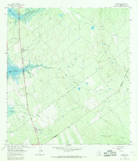
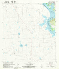
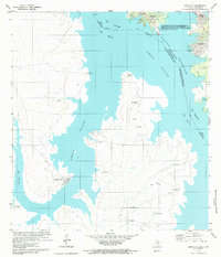
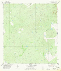
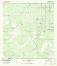
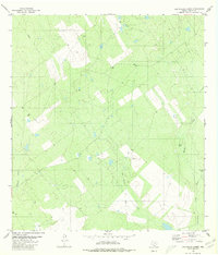
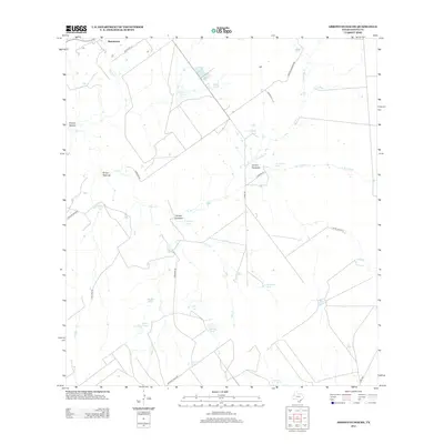
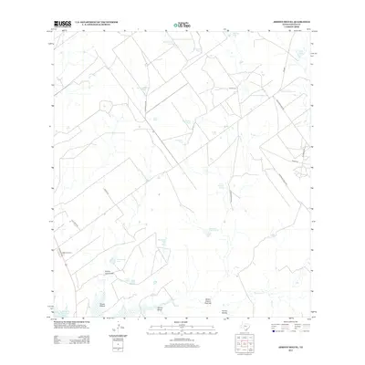
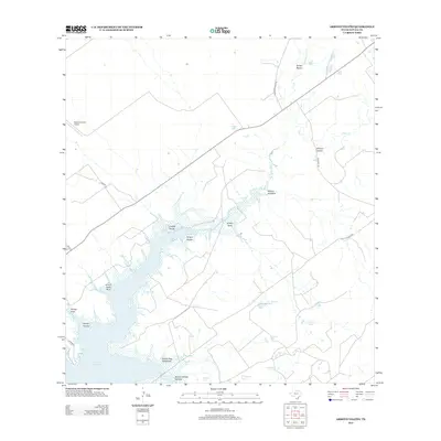
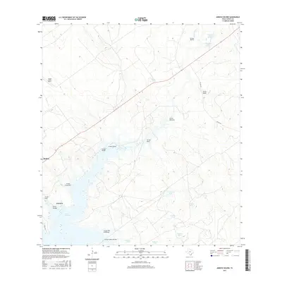
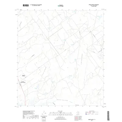
Historical Maps of Bustamante Through Time
92 maps found
1938 Falcon
Zapata County, TX
1940 Mogotes Hill
Zapata County, TX
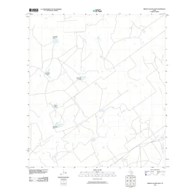
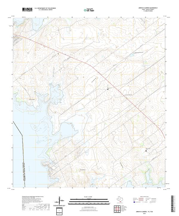
1956 Arroyo Clareno
Zapata County, TX
1956 Mogotes Hill
Zapata County, TX
1965 Beckwith Arm
Zapata County, TX
1965 Lopeno
Zapata County, TX
1979 Zapata NW
Zapata County, TX
1979 Zapata SE
Zapata County, TX
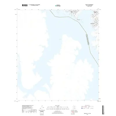
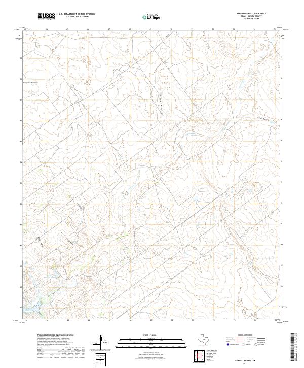
1980 Arroyo Burro
Zapata County, TX
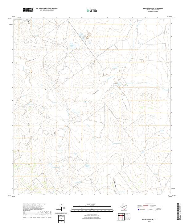
1980 Arroyo Huisache
Zapata County, TX
1980 Arroyo Miguel
Zapata County, TX
1980 Arroyo Salado East
Zapata County, TX
1980 Arroyo Veleno
Zapata County, TX
1980 Chargos Creek
Zapata County, TX
1980 Escobas
Zapata County, TX
1980 Las Ovejas Creek
Zapata County, TX
1980 Mogotes Hill
Zapata County, TX
2010 Arroyo Burro
Zapata County, TX
2010 Arroyo Clareno
Zapata County, TX
2010 Arroyo Huisache
Zapata County, TX
2010 Arroyo Miguel
Zapata County, TX
2010 Arroyo Salado East
Zapata County, TX
2010 Arroyo Salado West
Zapata County, TX
2010 Arroyo Veleno
Zapata County, TX
2010 Beckwith Arm
Zapata County, TX
2010 Chargos Creek
Zapata County, TX
2010 Escobas
Zapata County, TX
2010 Las Ovejas Creek
Zapata County, TX
2010 Lopeno
Zapata County, TX
2010 Mogotes Hill
Zapata County, TX
2010 Zapata NW
Zapata County, TX
2010 Zapata SE
Zapata County, TX
2012 Arroyo Clareno
Zapata County, TX
2012 Arroyo Huisache
Zapata County, TX
2012 Arroyo Miguel
Zapata County, TX
2012 Arroyo Veleno
Zapata County, TX
2012 Beckwith Arm
Zapata County, TX
2012 Lopeno
Zapata County, TX
2012 Zapata NW
Zapata County, TX
2012 Zapata SE
Zapata County, TX
2013 Arroyo Burro
Zapata County, TX
2013 Arroyo Salado East
Zapata County, TX
2013 Arroyo Salado West
Zapata County, TX
2013 Chargos Creek
Zapata County, TX
2013 Escobas
Zapata County, TX
2013 Las Ovejas Creek
Zapata County, TX
2013 Mogotes Hill
Zapata County, TX
2016 Arroyo Burro
Zapata County, TX
2016 Arroyo Clareno
Zapata County, TX
2016 Arroyo Huisache
Zapata County, TX
2016 Arroyo Miguel
Zapata County, TX
2016 Arroyo Salado East
Zapata County, TX
2016 Arroyo Salado West
Zapata County, TX
2016 Arroyo Veleno
Zapata County, TX
2016 Beckwith Arm
Zapata County, TX
2016 Chargos Creek
Zapata County, TX
2016 Escobas
Zapata County, TX
2016 Las Ovejas Creek
Zapata County, TX
2016 Lopeno
Zapata County, TX
2016 Mogotes Hill
Zapata County, TX
2016 Zapata NW
Zapata County, TX
2016 Zapata SE
Zapata County, TX
2019 Arroyo Burro
Zapata County, TX
2019 Arroyo Clareno
Zapata County, TX
2019 Arroyo Huisache
Zapata County, TX
2019 Arroyo Miguel
Zapata County, TX
2019 Arroyo Salado East
Zapata County, TX
2019 Arroyo Salado West
Zapata County, TX
2019 Arroyo Veleno
Zapata County, TX
2019 Beckwith Arm
Zapata County, TX
2019 Chargos Creek
Zapata County, TX
2019 Escobas
Zapata County, TX
2019 Las Ovejas Creek
Zapata County, TX
2019 Lopeno
Zapata County, TX
2019 Mogotes Hill
Zapata County, TX
2019 Zapata NW
Zapata County, TX
2019 Zapata SE
Zapata County, TX
2022 Arroyo Burro
Zapata County, TX
2022 Arroyo Clareno
Zapata County, TX
2022 Arroyo Huisache
Zapata County, TX
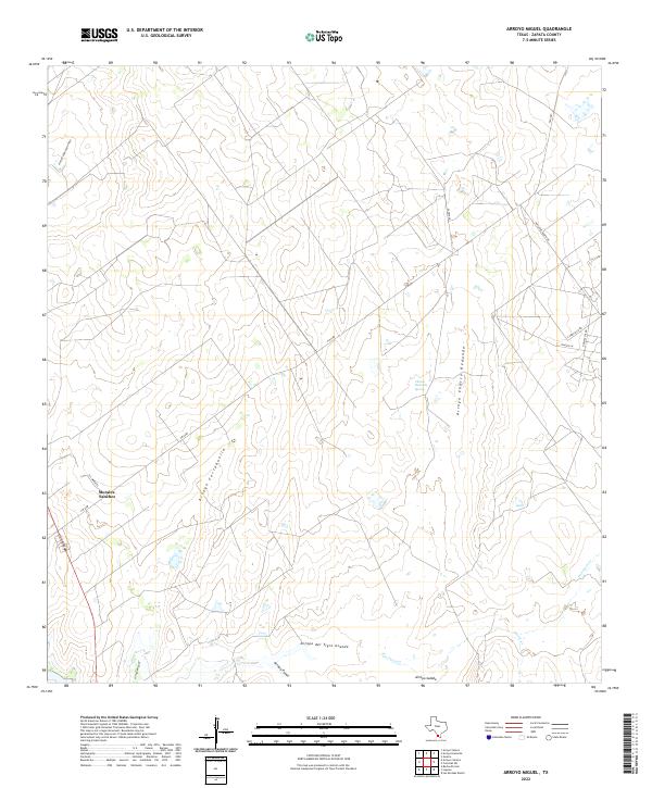
2022 Arroyo Miguel
Zapata County, TX
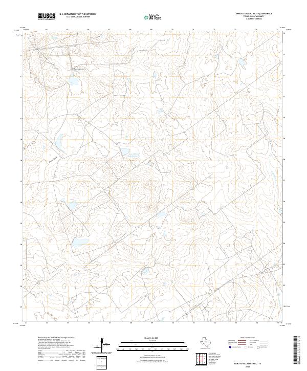
2022 Arroyo Salado East
Zapata County, TX
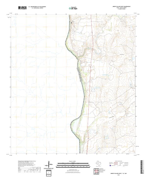
2022 Arroyo Salado West
Zapata County, TX

2022 Arroyo Veleno
Zapata County, TX
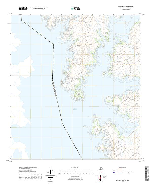
2022 Beckwith Arm
Zapata County, TX
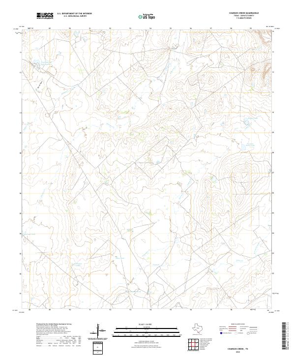
2022 Chargos Creek
Zapata County, TX
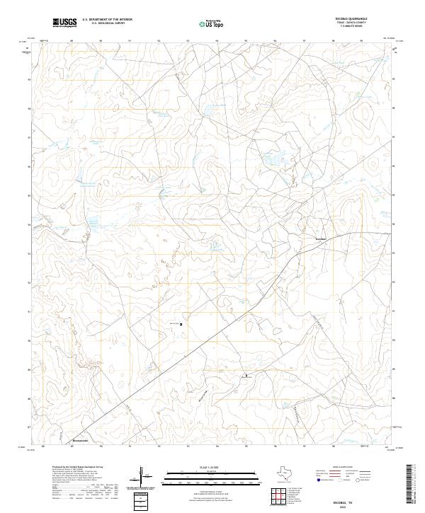
2022 Escobas
Zapata County, TX
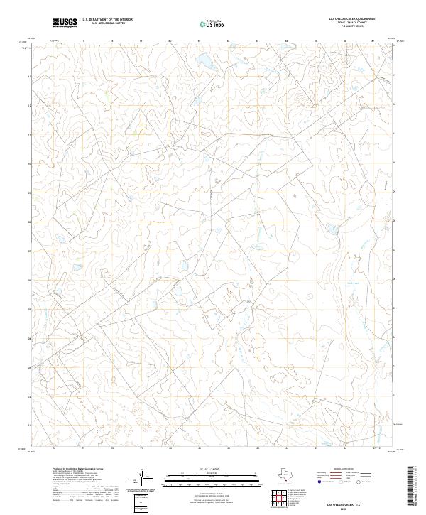
2022 Las Ovejas Creek
Zapata County, TX
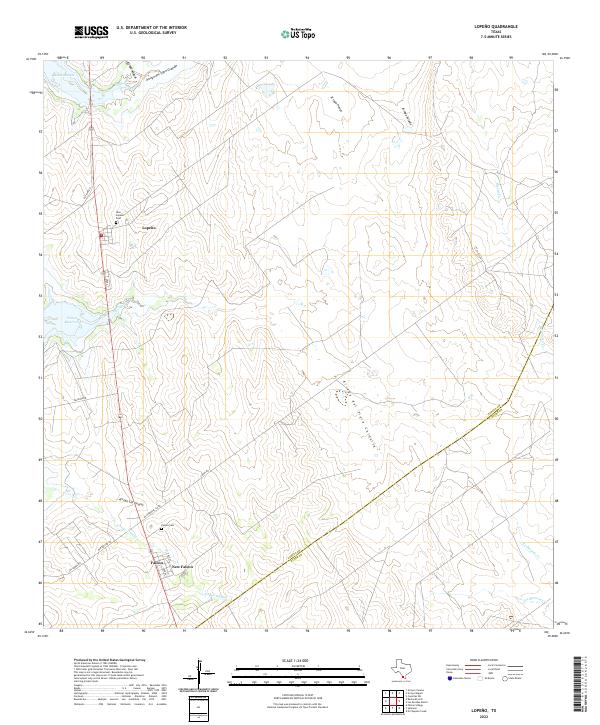
2022 Lopeno
Zapata County, TX
2022 Mogotes Hill
Zapata County, TX
2022 Zapata NW
Zapata County, TX
2022 Zapata SE
Zapata County, TX