Loading...
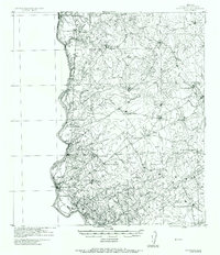
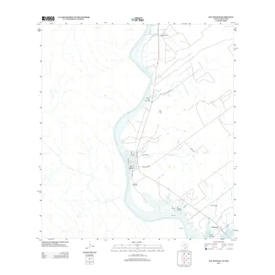
Loading map...1942 Map of San Ygnacio
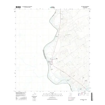
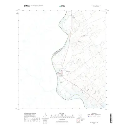
USGS Topo · Published 1956About this map
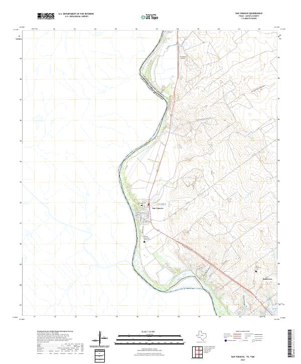
The Rio Grande defines the western frontier of this South Texas landscape, serving as the international boundary between Tamaulipas, Mexico, and Zapata County. This World War II-era military tactical map highlights a region dominated by a traditional ranching economy, organized into extensive pastures named for local families and landmarks. The settlement of San Ygnacio serves as a primary hub along the river, featuring a Ferry crossing that links the two nations.
Find a feature on this map
60 named features on this map. Tap any name to fly to it.
Don’t see what you’re looking for? This feature index may not catch every label — zoom into the map to look around manually.
Map Details
Date Portrayed1942
Date Published1956
PublisherU.S. Geological Survey
Map TypeTopographic
Scale1:62,500
Physical Dimensions18 x 20.9 inches
Editions of this 1942 San Ygnacio Map
This is the sole edition of this map. No revisions or reprints were ever made.
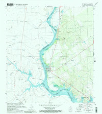
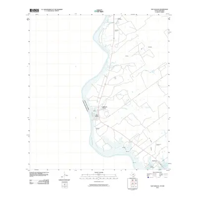
Historical Maps of Ramireno Through Time
8 maps found
Featured Locations
Source Details
SourceU.S. Geological Survey
CopyrightPublic Domain