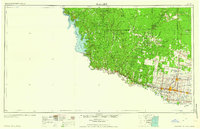
1957 Map of Mc Allen
USGS Topo · Published 1962This historical map portrays the area of Mc Allen in 1957, primarily covering Hidalgo County as well as portions of Zapata County, Brooks County, Willacy County, Starr County, and Jim Hogg County. Featuring a scale of 1:250000, this map provides a highly detailed snapshot of the terrain, roads, buildings, counties, and historical landmarks in the Mc Allen region at the time. Published in 1962, it is one of 2 known editions of this map due to revisions or reprints.
Map Details
Editions of this 1957 Mc Allen Map
2 editions found
Historical Maps of Hidalgo County Through Time
19 maps found
1939 La Reforma
Hidalgo County, TX
1940 Monte Christo
Hidalgo County, TX
1949 Mc Allen
Hidalgo County, TX
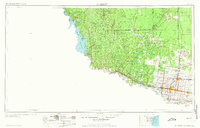
1957 Mc Allen
Hidalgo County, TX
1962 Las Milpas
Hidalgo County, TX
1962 San Juan SE
Hidalgo County, TX
1963 Faysvillle
Hidalgo County, TX
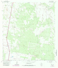
1963 Linn NE
Hidalgo County, TX
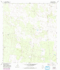
1963 Linn NW
Hidalgo County, TX
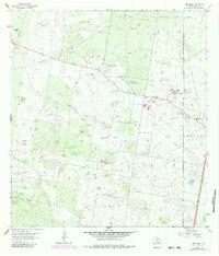
1963 Linn Siding
Hidalgo County, TX
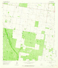
1963 McCook
Hidalgo County, TX
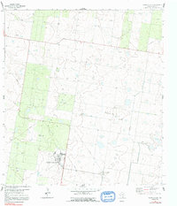
1963 Monte Christo
Hidalgo County, TX
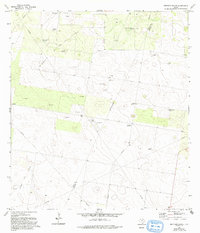
1972 Bentsen Ranch
Hidalgo County, TX
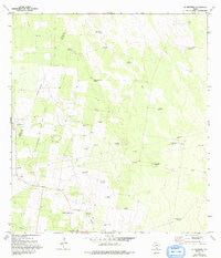
1972 La Reforma
Hidalgo County, TX
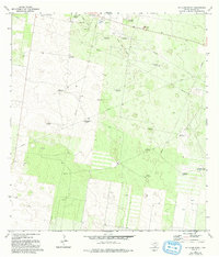
1972 McAllen Ranch
Hidalgo County, TX
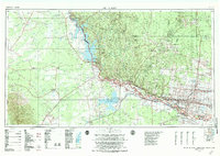
1983 Mc Allen
Hidalgo County, TX
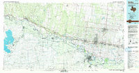
1992 Mc Allen
Hidalgo County, TX
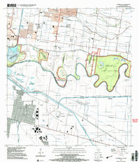
2002 Las Milpas
Hidalgo County, TX
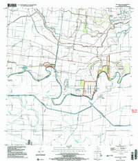
2002 San Juan SE
Hidalgo County, TX
Featured Locations
- Brooks County, TX
- Hidalgo County, TX
- Jim Hogg County, TX
- Starr County, TX
- Willacy County, TX
- Zapata County, TX
- Texas