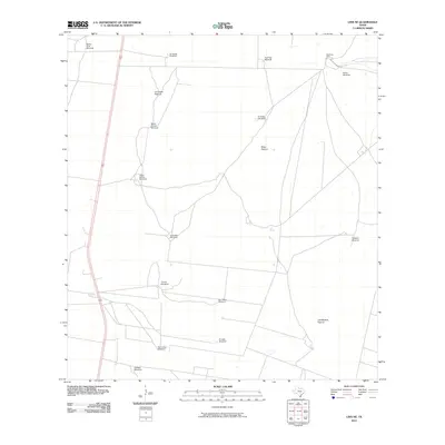
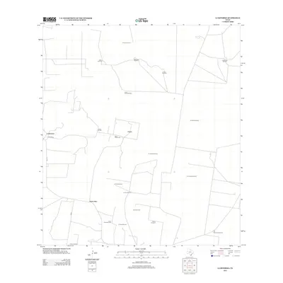
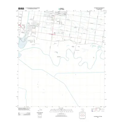
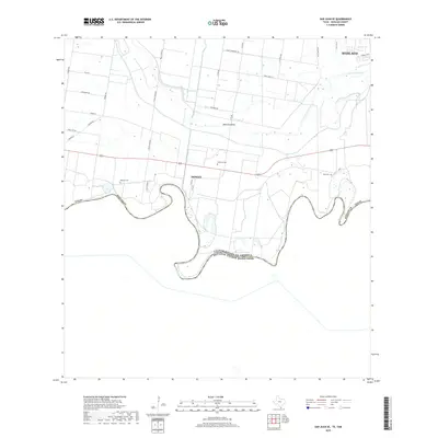
1957 Map of Mc Allen
USGS Topo · Published 1975About this map
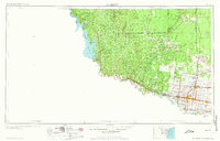
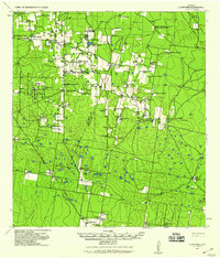
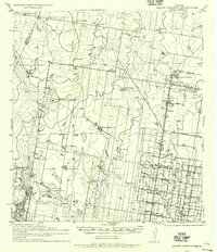
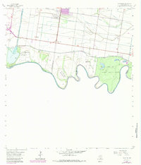
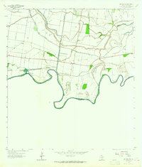
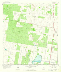
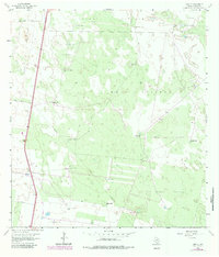
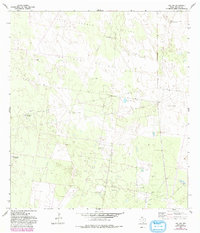
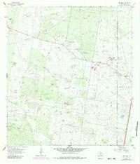
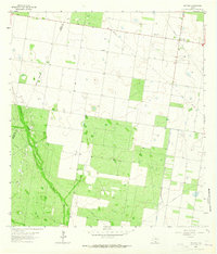
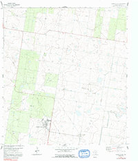
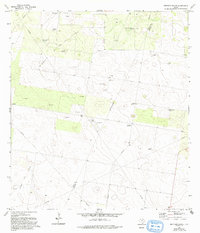
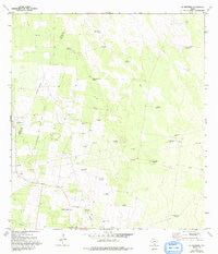
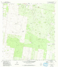
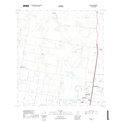
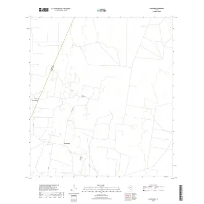
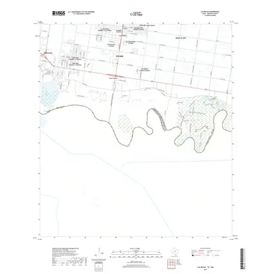
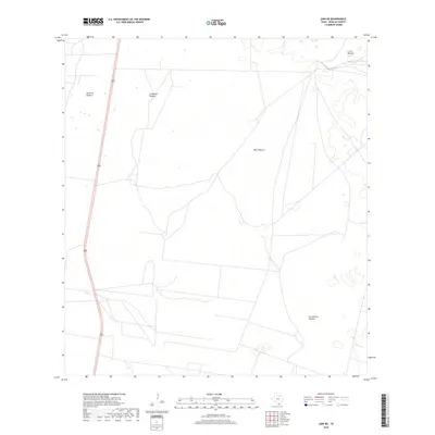
The Rio Grande defines the international boundary and the character of this South Texas region, where the river's path is marked by the recently completed Falcon Dam. This 1950s survey documents the transition from the dense riverine settlements like Rio Grande City, Roma, and Mission to the expansive oil and gas fields of the interior. North of the river, the landscape is a patchwork of industrial energy extraction, featuring the Rincon Oil Field, La Reforma Oil and Gas Field, and Los Olmos Oil Field. The eastern portion of the sheet shows the concentrated growth of the Lower Rio Grande Valley, with the Missouri Pacific railroad corridor connecting the burgeoning hubs of McAllen, Edinburg, and Pharr. Military and conservation interests are also represented, from the Moore Air Force Base to the Santa Ana National Wildlife Refuge along the river's bend.
Find a feature on this map
103 named features on this map. Tap any name to fly to it.
Don’t see what you’re looking for? This feature index may not catch every label — zoom into the map to look around manually.
Map Details
Editions of this 1957 Mc Allen Map
2 editions found

Historical Maps of Edinburg Through Time
74 maps found
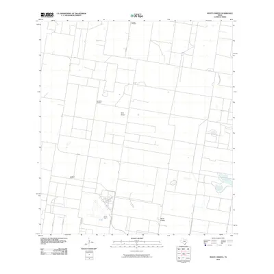
1939 La Reforma
Hidalgo County, TX
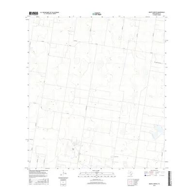
1940 Monte Christo
Hidalgo County, TX

1949 Mc Allen
Hidalgo County, TX
1957 Mc Allen
Hidalgo County, TX
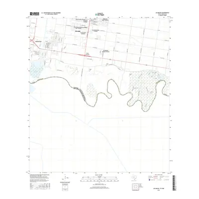
1962 Las Milpas
Hidalgo County, TX
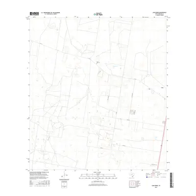
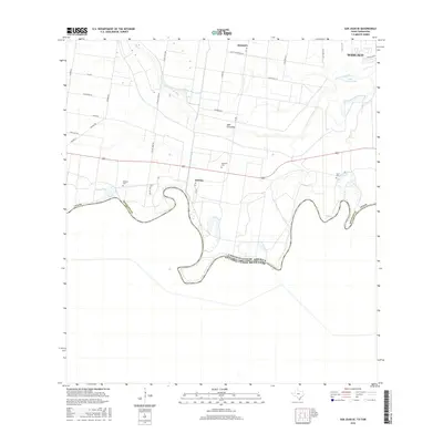
1962 San Juan SE
Hidalgo County, TX
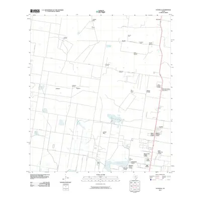
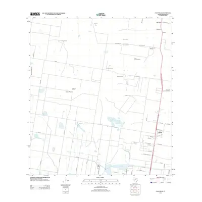
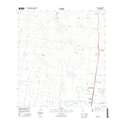
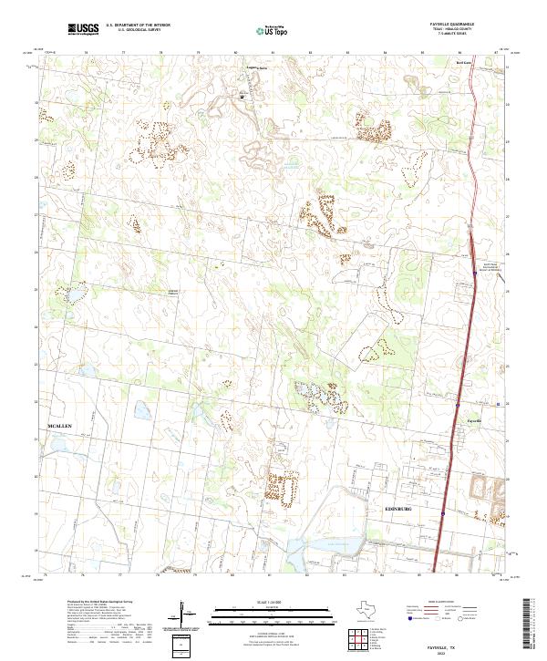
1963 Faysvillle
Hidalgo County, TX
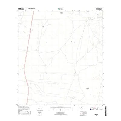
1963 Linn NE
Hidalgo County, TX
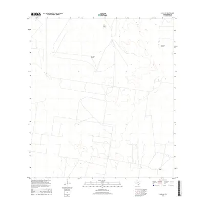
1963 Linn NW
Hidalgo County, TX
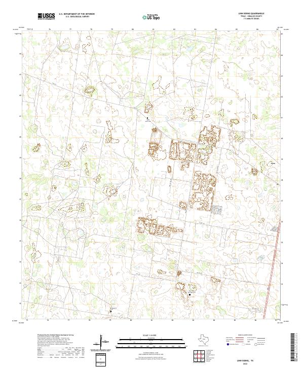
1963 Linn Siding
Hidalgo County, TX
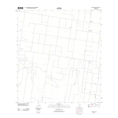
1963 McCook
Hidalgo County, TX
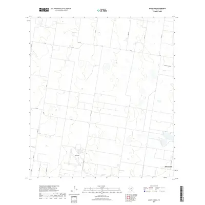
1963 Monte Christo
Hidalgo County, TX
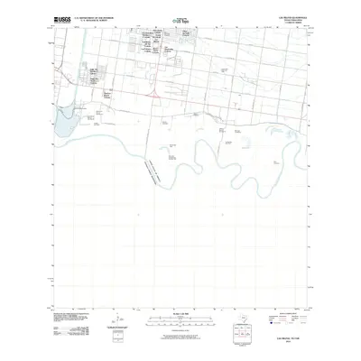
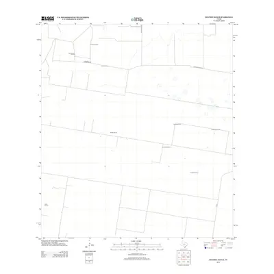
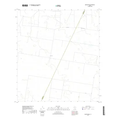
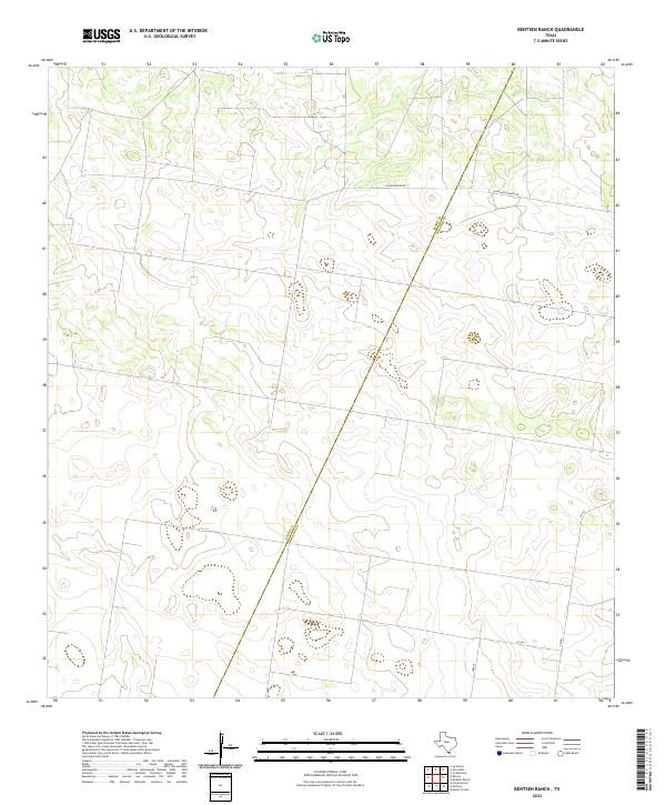
1972 Bentsen Ranch
Hidalgo County, TX
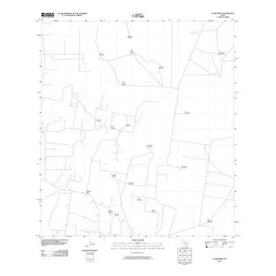
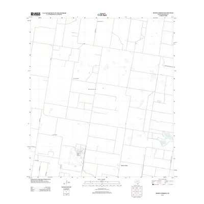
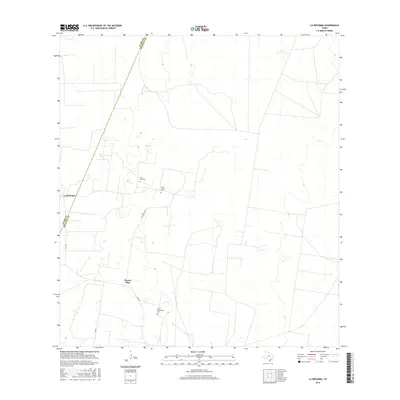
1972 La Reforma
Hidalgo County, TX
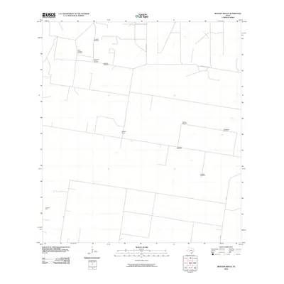
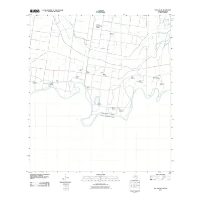
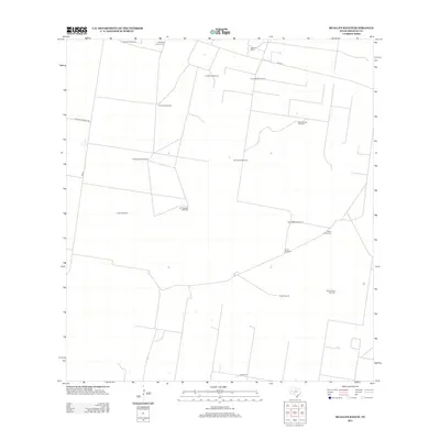
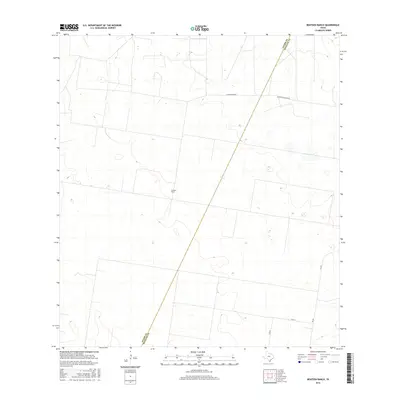
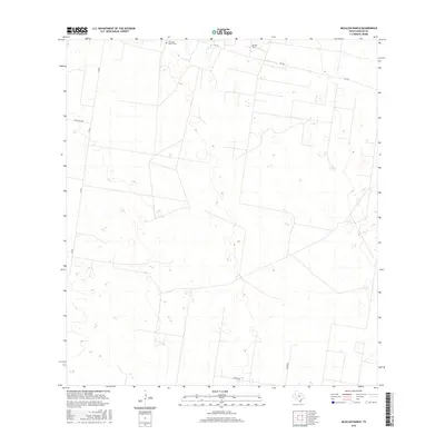
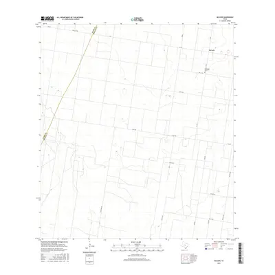
1972 McAllen Ranch
Hidalgo County, TX

1983 Mc Allen
Hidalgo County, TX

1992 Mc Allen
Hidalgo County, TX
2002 Las Milpas
Hidalgo County, TX
2002 San Juan SE
Hidalgo County, TX
2010 Bentsen Ranch
Hidalgo County, TX
2010 Faysville
Hidalgo County, TX
2010 La Reforma
Hidalgo County, TX
2010 Las Milpas
Hidalgo County, TX
2010 Linn NE
Hidalgo County, TX
2010 Linn NW
Hidalgo County, TX
2010 Linn Siding
Hidalgo County, TX
2010 McAllen Ranch
Hidalgo County, TX

2010 McCook
Hidalgo County, TX
2010 Monte Christo
Hidalgo County, TX
2010 San Juan SE
Hidalgo County, TX
2012 Bentsen Ranch
Hidalgo County, TX
2012 Faysville
Hidalgo County, TX
2012 La Reforma
Hidalgo County, TX
2012 Linn NE
Hidalgo County, TX
2012 Linn NW
Hidalgo County, TX
2012 Linn Siding
Hidalgo County, TX
2012 McAllen Ranch
Hidalgo County, TX
2012 McCook
Hidalgo County, TX
2012 Monte Christo
Hidalgo County, TX
2013 Las Milpas
Hidalgo County, TX

2013 San Juan SE
Hidalgo County, TX
2016 Bentsen Ranch
Hidalgo County, TX
2016 Faysville
Hidalgo County, TX
2016 La Reforma
Hidalgo County, TX
2016 Las Milpas
Hidalgo County, TX
2016 Linn NE
Hidalgo County, TX
2016 Linn NW
Hidalgo County, TX
2016 Linn Siding
Hidalgo County, TX
2016 McAllen Ranch
Hidalgo County, TX
2016 McCook
Hidalgo County, TX
2016 Monte Christo
Hidalgo County, TX
2016 San Juan SE
Hidalgo County, TX
2019 Bentsen Ranch
Hidalgo County, TX
2019 Faysville
Hidalgo County, TX
2019 La Reforma
Hidalgo County, TX
2019 Las Milpas
Hidalgo County, TX
2019 Linn NE
Hidalgo County, TX
2019 Linn NW
Hidalgo County, TX
2019 Linn Siding
Hidalgo County, TX
2019 McAllen Ranch
Hidalgo County, TX
2019 McCook
Hidalgo County, TX
2019 Monte Christo
Hidalgo County, TX
2019 San Juan SE
Hidalgo County, TX
2022 Bentsen Ranch
Hidalgo County, TX
2022 Faysville
Hidalgo County, TX
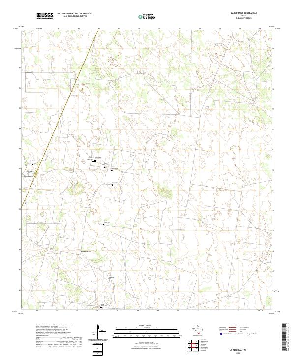
2022 La Reforma
Hidalgo County, TX
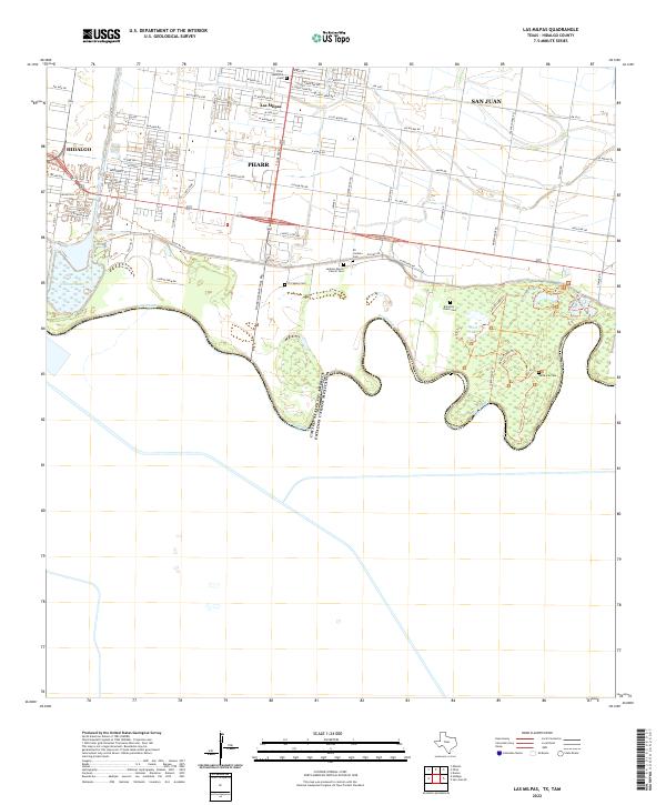
2022 Las Milpas
Hidalgo County, TX
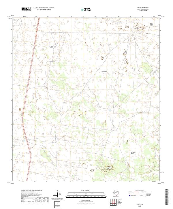
2022 Linn NE
Hidalgo County, TX
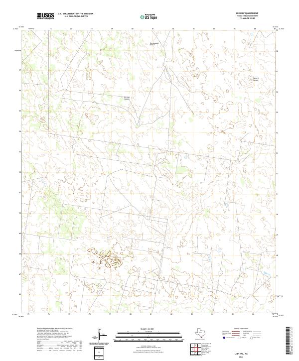
2022 Linn NW
Hidalgo County, TX
2022 Linn Siding
Hidalgo County, TX
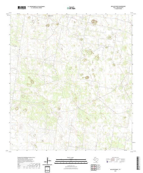
2022 McAllen Ranch
Hidalgo County, TX
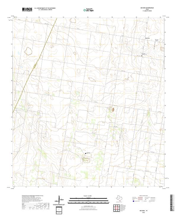
2022 McCook
Hidalgo County, TX
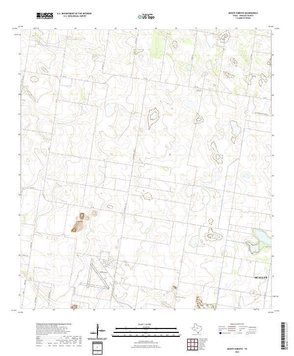
2022 Monte Christo
Hidalgo County, TX
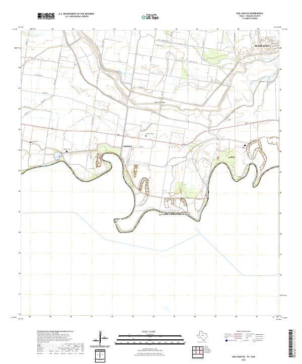
2022 San Juan SE
Hidalgo County, TX