Old Maps of Hidalgo County, Texas
Explore 287 old maps of Hidalgo County, spanning from 1914 to today. These high-resolution historic maps reveal how streets, neighborhoods, landmarks, and natural features evolved over time — perfect for genealogy, metal detecting, research, and local history exploration.
What you can do with these maps:
- See how Hidalgo County changed over time: Compare historical maps to modern-day views to trace roads, homesites, rail lines & more.
- View detailed metadata: Each map includes creators, publishers, year, scale, and archive source.
- Overlay maps with satellite & LiDAR: Visualize the past alongside modern tools to explore terrain & human change.
- Trusted historical sources: Maps sourced from the USGS, Library of Congress, and other archives.
- Access maps your way: View online, download high-res files, or order prints for personal or research use.
Start exploring old maps of Hidalgo County to uncover forgotten places, hidden landmarks, and the deep history beneath your feet.
Hidalgo County, TX maps
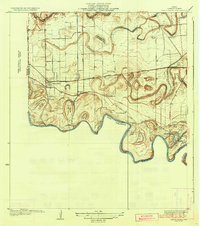
(287)- 1914 Map of San Juan
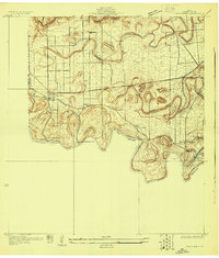
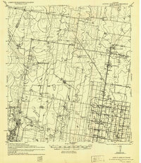
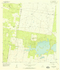
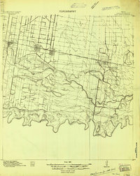 1914 San Juan1914 Print · USGSThe Lower Rio Grande Valley is captured here just before the First World War, showing the early rail-driven growth of McAllen, Pharr, and San Juan. Genealogists and historians can trace the transition from old river-side life along the Military Road to the irrigation-based settlements at Ebenezer and Valley View Plantation.2 unique versions available
 - 1916 Map of San Juan
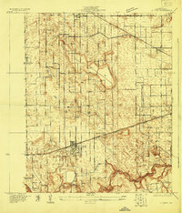
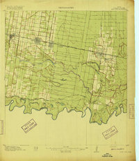 1916 San Juan1916 Print · USGSThe Lower Rio Grande Valley underwent a dramatic transformation in the mid-1910s as rail and irrigation reshaped the border. Trace the early growth of Mc Allen and Pharr or follow the historic Military Road as it winds past the Valley View Plantation.3 unique versions available
 - 1922 Map of La Sal Vieja
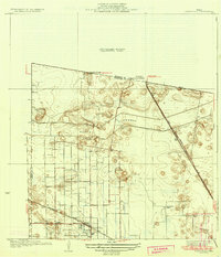
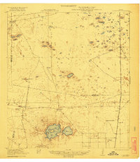 1922 La Sal Vieja1922 Print · USGSCoastal South Texas ranchlands appear here in the early twenties, centered on the salt lakes and the railroad. Genealogists can trace family outposts like San Juan Ranch and Andres Ranch or follow the St Louis Brownsville and Mexico rail line.3 unique versions available
 - 1923 Map of Armstrong
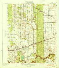
 1923 Armstrong1923 Print · USGSSouth Texas cattle country in the early twenties is defined by isolated ranching outposts and the vital rail corridor. Researchers can trace the early footprints of Armstrong and Norias or locate remote landmarks like Lorita Ranch and Chaparrazo Well.
 - 1929 Map of Santa Rosa
 1929 Santa Rosa1929 Print · USGSCoastal South Texas is captured here in the late twenties as the rail-driven agricultural boom reshaped the Rio Grande Valley. Researchers can trace family estates like Santa Rita Ranch or locate the Asadon Cem near the Southern Pacific RR tracks.
 - 1929 Map of Santa Maria
 1929 Santa Maria1929 Print · USGSThe Lower Rio Grande Valley in the late twenties was a hub of river-driven irrigation and ranching. Researchers can trace the layout of early pumping plants and traditional settlements like Santa Maria, Bluetown, and the remote Galveston Ranch along the river's edge.
 - 1929 Map of La Feria
 1929 La Feria1929 Print · USGSThe Rio Grande Valley near the Hidalgo and Cameron County line is captured in the late twenties as a thriving rail and agricultural corridor. Genealogists can trace family roots near La Feria, Bixby, and rural schools like Wilson Sch.
 - 1933 Map of Santa Rosa
 1933 Santa Rosa1933 Print · USGSThe Rio Grande Valley landscape comes into focus in the early thirties as irrigation and flood control reshape the coastal plain. Researchers can trace the footprints of family estates like Santa Rita Ranch and the vital paths of the Missouri Pacific railroad.3 unique versions available
 - 1936 Map of La Feria
 1936 La Feria1936 Print · USGSThe lower Rio Grande Valley comes to life in this mid-1930s survey of the irrigated farmlands and rail towns of Cameron County. Genealogists and local historians can trace the early streets and family farms near La Feria, Bixby, and the Wilson Sch country school site.3 unique versions available
 - 1936 Map of Santa Maria
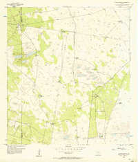
 1936 Santa Maria1936 Print · USGSLower Rio Grande Valley ranching and early irrigation systems are preserved in this pre-war survey of Cameron County. Genealogists and historians can trace family-named outposts and infrastructure like Gloria Ranch, Bluetown, and the Santa Maria Pumping Sta.3 unique versions available
 - 1939 Map of Linn, 1958 Print
 1939 Linn1958 Print · USGSSouth Texas ranching culture and early transport networks define this pre-war survey of the Hidalgo County backcountry. Researchers can trace historic family-named properties like Delmita Ranch, the site of the Laguna Seca School, and the salt lake at La Sal Del Rey.
 - 1939 Map of La Reforma, 1959 Print
 1939 La Reforma1959 Print · USGSThe ranching country of South Texas comes alive in the late 1930s, showing the intersection of cattle territory and the budding oil industry. Genealogists can trace family holdings and local landmarks like the Sam Lane School, Arkansas City, and La Reforma.
 - 1939 Map of Encantada, 1959 Print
 1939 Encantada1959 Print · USGSBrooks and Starr counties are shown in the late 1930s as a landscape of established cattle ranches and emerging oil fields. Genealogists and researchers can locate family landmarks such as Guerra, Encantada Ranch, and La Particion Ranch.
 - 1940 Map of Monte Christo
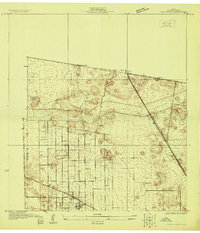
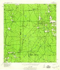
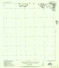
 1940 Monte Christo1940 Print · USGSHidalgo County ranching and irrigation systems are shown here in the 1930s and 40s as a structured agricultural grid takes shape. Researchers can trace family homesteads like Tanquecillas Ranch or locate the site of the Wimobasis Club and early railroad stops on the St L B & M Ry.2 unique versions available
 - 1949 Map of Mc Allen, 1954 Print
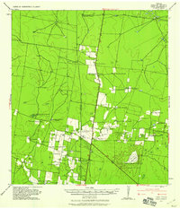
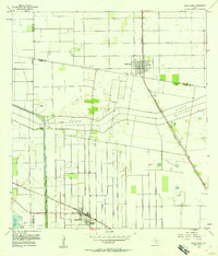
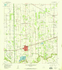
 1949 Mc Allen1954 Print · USGSThe Rio Grande Valley at mid-century reveals a bustling international corridor of citrus groves, rail lines, and growing border towns. Genealogists and historians can trace the Missouri Pacific RR through McAllen or locate rural landmarks like the Santa Fe School and Arkansas City.
 - 1953 Map of Brownsville
 1953 Brownsville1953 Print · USGSSouth Texas ranchlands and the Lower Rio Grande Valley are captured here in the early fifties as the region's irrigation and shipping networks expanded. Genealogists and historians can trace family landholdings like Tecolote Ranch or follow the route of the St Louis Brownsville and Mexico rail line through Sebastian and Yturria.
 - 1954 Map of McAllen
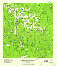
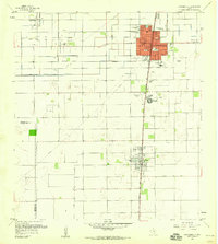
 1954 McAllen1954 Print · USGSCovers Hidalgo County, including Reynosa, McAllen, and other nearby areas
 - 1956 Map of Garcias
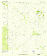
 1956 Garcias1956 Print · USGSThe Rio Grande borderlands of South Texas are captured here during the mid-twentieth century as the regional ranching economy flourished. Researchers can trace ancestral family lands like the Stephen Garcia Ranch or locate vanished sites including the Brick Yard and La Grulla Sta.
 - 1956 Map of Los Ebanos
 1956 Los Ebanos1956 Print · USGSThe Rio Grande borderlands of South Texas are captured here as they appeared between the world wars. Genealogists and local historians can trace family-named sites like Antonio de la Banco and early river settlements including Los Ebanos and Havana.
 - 1956 Map of Julian, 1957 Print
 1956 Julian1957 Print · USGSThe remote ranchlands of Kenedy and Brooks County are captured here in the mid-1950s, highlighting a landscape defined by industrial water management and oil exploration. Researchers can trace the network of private roads connecting Julian (Recycling Sta) and Chaparrosa Camp to numerous named sites like Candelaria Lake.2 unique versions available
 - 1956 Map of Andrea Ranch, 1957 Print
 1956 Andrea Ranch1957 Print · USGSKenedy and Hidalgo counties were defined by remote cattle ranching and deep-water wells in the mid-1950s. Trace the livestock infrastructure of the era through the Andrea Ranch, Stillman Loading Pens, and many named water sources like Finegan Artesian Well.2 unique versions available
 - 1956 Map of La Sal Vieja, 1958 Print
 1956 La Sal Vieja1958 Print · USGSThe South Texas brush country at the edge of the Rio Grande Valley was a landscape of remote cattle ranches and emerging energy fields in the mid-fifties. Researchers can trace the heritage of local ranching through named sites like La Sal Vieja Ranch and a network of water sources including San Leonardo Windmill and the Stillman Windmill.2 unique versions available
 - 1956 Map of Santa Rosa, 1958 Print
 1956 Santa Rosa1958 Print · USGSThe Rio Grande Valley's irrigation and rail network are captured here in the mid-1950s as agriculture reshaped the Cameron County landscape. Researchers can trace historic cemeteries like San Rafael Cem and follow the path of the North Floodway.3 unique versions available
 - 1956 Map of Raymondville, 1958 Print
 1956 Raymondville1958 Print · USGSRaymondville and Lyford are captured during the mid-century transition from ranching to a mix of irrigated farming and oil production. Genealogists and historians can trace family locations near Northward Sch, the Fox Airport, and La Piedad Cementerio Numero Dos.3 unique versions available
 - 1956 Map of La Feria, 1959 Print
 1956 La Feria1959 Print · USGSThe Lower Rio Grande Valley comes alive in the mid-fifties as an intricate web of canals and rail lines connects La Feria and Santa Rosa. Researchers can trace local heritage through the San Francisco Cemeteries and family-named landmarks along the Arroyo Colorado.2 unique versions available
Showing maps 1-25 of 287
Top cities of Hidalgo County
- McAllen historical maps
- Edinburg historical maps
- Mission historical maps
- Pharr historical maps
- Weslaco historical maps
- San Juan historical maps
See more
Frequently asked questions
- What are the different types of historical maps available for Hidalgo County?
- What is the oldest map of Hidalgo County?
- Where can I purchase historical maps of Hidalgo County for my home or office?
- Where can I download high-res historical maps of Hidalgo County?
- Are there historical topographic maps available for Hidalgo County?
- Is there historical aerial imagery available for Hidalgo County?
- Where are historical maps of Hidalgo County sourced from?