2020s Maps of Hidalgo County, Texas
Explore 40 historic maps of Hidalgo County from the 2020s. These maps offer a rare glimpse into what life looked like during the 2020s — showing old roads, neighborhoods, homes, and landmarks that have changed or disappeared over time.
Whether you're researching your family's past, planning a metal detecting trip, or studying how Hidalgo County's landscape evolved across the 2020s, these high-resolution maps are a powerful tool for exploring the history of this region.
- Focus on a specific era: All maps on this page are from the 2020s, giving you a focused view of this time period.
- See what’s changed: Compare century-old streets, trails, and buildings to today's modern landscape using overlays and satellite layers.
- Research with precision: Use these maps for genealogy, historical research, land use analysis, or educational projects.
- View, download, or print: Maps are fully viewable online in high resolution, and can be downloaded or printed for your own records.
Start exploring Hidalgo County's history through authentic maps from the 2020s. This is your window into the past.
Hidalgo County, TX maps
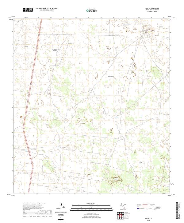
(40)- 2022 Map of Linn, 2022 Print
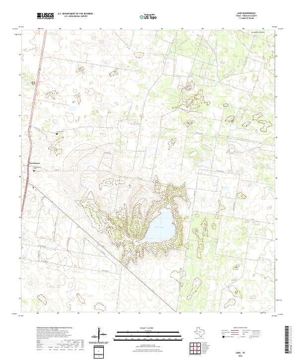 2022 Linn2022 Print · USGSThe rural landscapes of Hidalgo County are captured in this contemporary survey of the South Texas brush country. Researchers can trace local heritage at San Manuel Cem and explore the unique geography surrounding the Sal Del Ray salt lake.
 - 2022 Map of Edcouch, 2022 Print
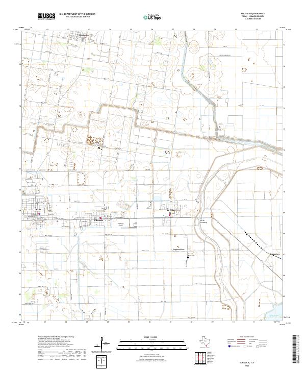 2022 Edcouch2022 Print · USGSAgricultural growth in the Rio Grande Valley near Edcouch and Elsa is detailed in this recent survey. Genealogists can trace family burial sites like San Jose Ranch Cem and the small airfield at Skalitsky Airport.
 - 2022 Map of Santa Elena SE, 2022 Print
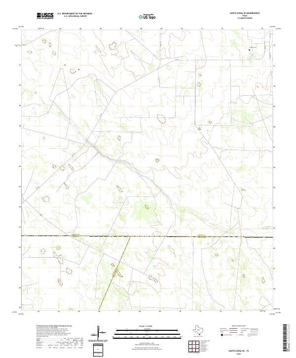 2022 Santa Elena SE2022 Print · USGSThe South Texas brush country at the meeting of Brooks, Starr, and Hidalgo counties is captured here in the early 2020s. Genealogists and researchers can locate La Mesa Cem or trace the path of Vargas Cr near the junction of FM 755.
 - 2022 Map of Monte Christo, 2022 Print
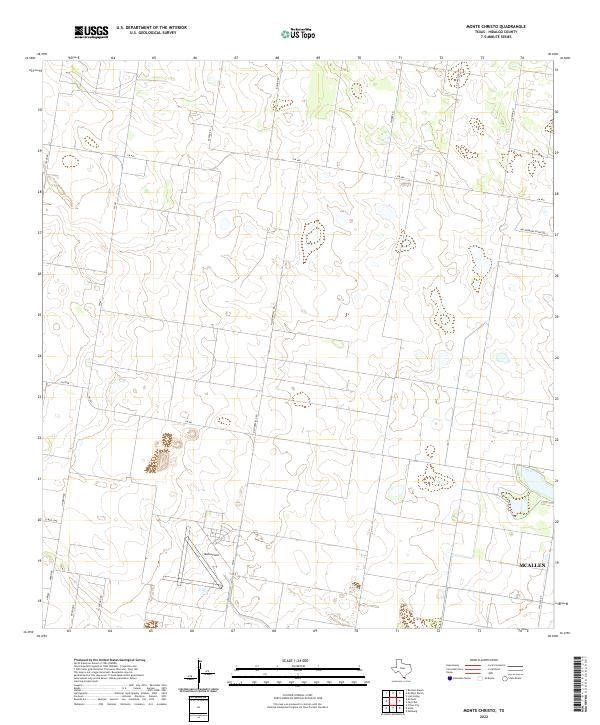 2022 Monte Christo2022 Print · USGSHidalgo County in the early twenty-first century reveals a landscape shaped by rural ranching and the expansion of the Rio Grande Valley. Genealogists and local researchers can trace family-named landmarks and rural routes like K Ranch Rd, Moore Field, and Machormans Grove Rd.
 - 2022 Map of San Isidro, 2022 Print
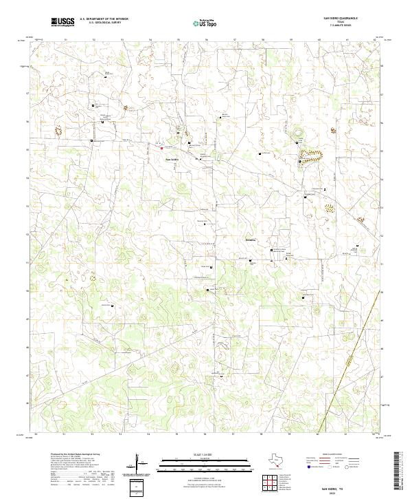 2022 San Isidro2022 Print · USGSThe ranching country of northern Starr County remains a landscape of deep family heritage in the early 2020s. Genealogists can trace numerous ancestral burial sites including Nieves Garcia Senior Memorial Cem, San Isidro Cem, and Delmita Cem.
 - 2022 Map of Linn NW, 2022 Print
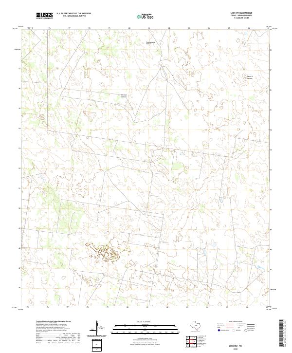 2022 Linn NW2022 Print · USGSHidalgo County ranching lands are captured here in the early twenty-first century, showing a landscape defined by large family and company tracts. Researchers can trace the boundaries of historic ranching divisions like Tres Lagunas Pasture and San Juan Pasture.
 - 2022 Map of Camp Garcia, 2022 Print
 2022 Camp Garcia2022 Print · USGSStarr County ranch lands are captured here during a period of steady rural development in the early twenty-first century. Genealogists can locate the Santa Rosa Ranch Cem and the settlement of Elias-Fela Solis along FM 2360.
 - 2022 Map of Edinburg, 2022 Print
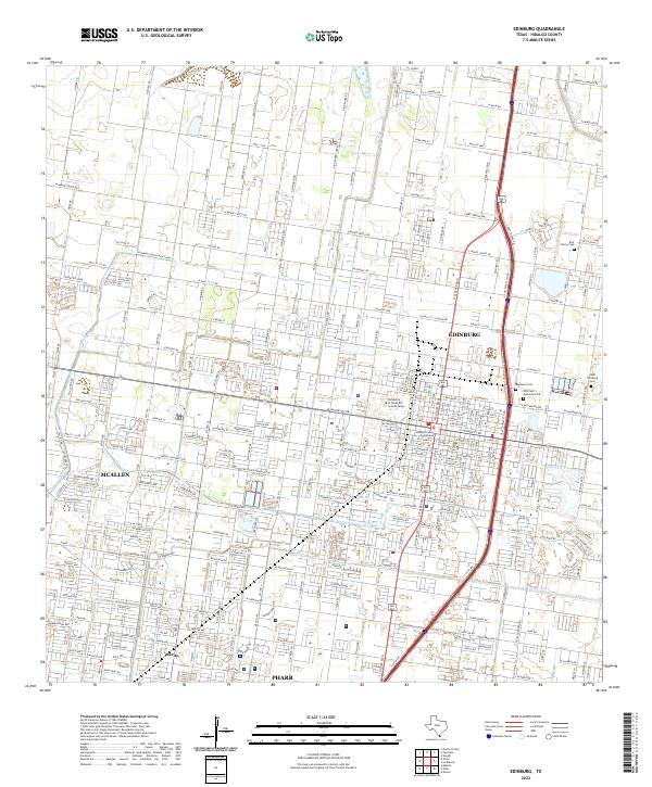 2022 Edinburg2022 Print · USGSEdinburg and the surrounding Rio Grande Valley are shown here in the early 2020s, dominated by a dense suburban grid and critical irrigation infrastructure. Researchers can locate the Hidalgo County Courthouse, the University of Texas Rio Grande Valley, and family sites like the Rios Family Cem.
 - 2022 Map of Pharr, 2022 Print
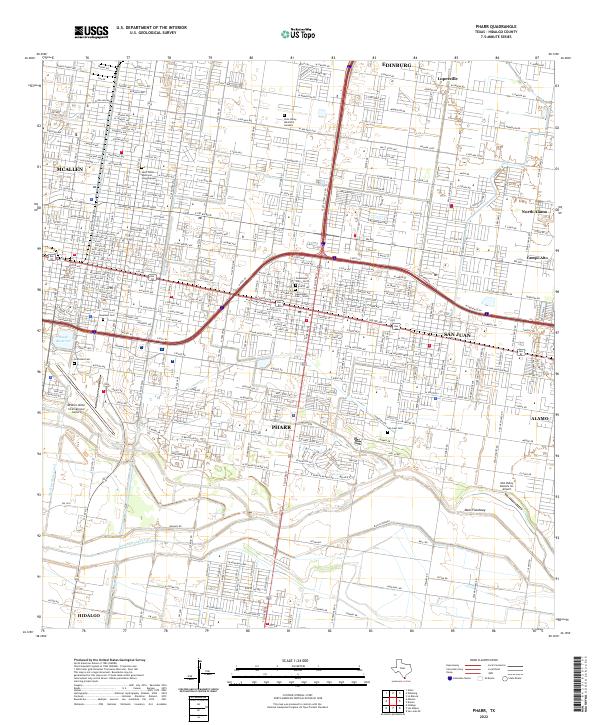 2022 Pharr2022 Print · USGSThe Rio Grande Valley comes into sharp focus here during the early twenty-first century, showing the interconnected streetscapes of Pharr and San Juan. Researchers can trace local history through sites like La Piedad Cem or locate the sprawling McAllen Miller International Airport.
 - 2022 Map of Donna, 2022 Print
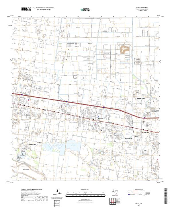 2022 Donna2022 Print · USGSThe Rio Grande Valley corridor comes into focus in this recent survey of the growing suburban and agricultural landscape between Alamo and Weslaco. Genealogists and historians can locate Saint Joseph Cem, Donna City Cem, and the waters of Donna Reservoir 1.
 - 2022 Map of Faysville, 2022 Print
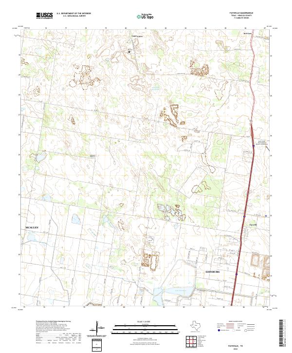 2022 Faysville2022 Print · USGSHidalgo County's rural outskirts and developing northern corridors are mapped here in the early 2020s. Researchers can trace land holdings like Jackson Pasture and locate family history sites such as Vela Cem near Laguna Seca.
 - 2022 Map of Linn NE, 2022 Print
 2022 Linn NE2022 Print · USGSHidalgo County ranching country is captured here in the early twenty-first century, showing a landscape defined by large land tracts. Family and historical landholdings can be traced through the boundaries of Santa Fe Pasture, Julian Pasture, and Mula Pasture along the 281 corridor.
 - 2022 Map of La Reforma, 2022 Print
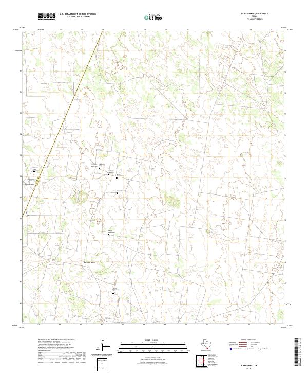 2022 La Reforma2022 Print · USGSThe South Texas brushland comes alive on this recent survey of the borderlands between Hidalgo and Starr counties. Genealogists can trace family heritage through a dense cluster of burial sites including Santa Rita Viejo Cem, Santos Valdez Cem, and Bazan Ranch Cem.
 - 2022 Map of Hartland, 2022 Print
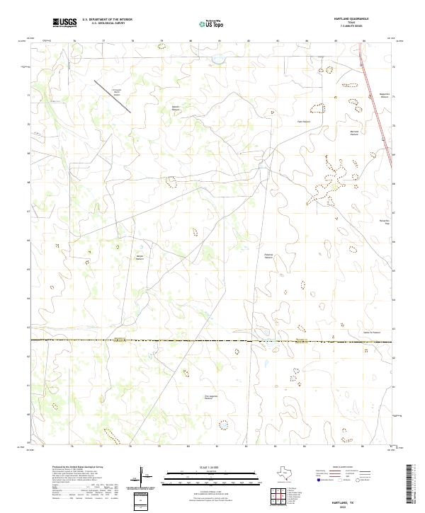 2022 Hartland2022 Print · USGSBrooks and Hidalgo counties meet in this modern South Texas ranching landscape defined by large pastures and private airfields. Researchers can trace land management patterns across Vargas Pasture, Tasajal Lake, and the remote El Coyote Ranch Airport.
 - 2022 Map of Andrea Ranch, 2022 Print
 2022 Andrea Ranch2022 Print · USGSThe ranchlands of South Texas are captured here in the early 2020s, showing a remote landscape shaped by private land use. Researchers can trace the administrative boundary of Hidalgo Co and Kenedy Co across a network of ranch roads and wetlands.
 - 2022 Map of Linn Siding, 2022 Print
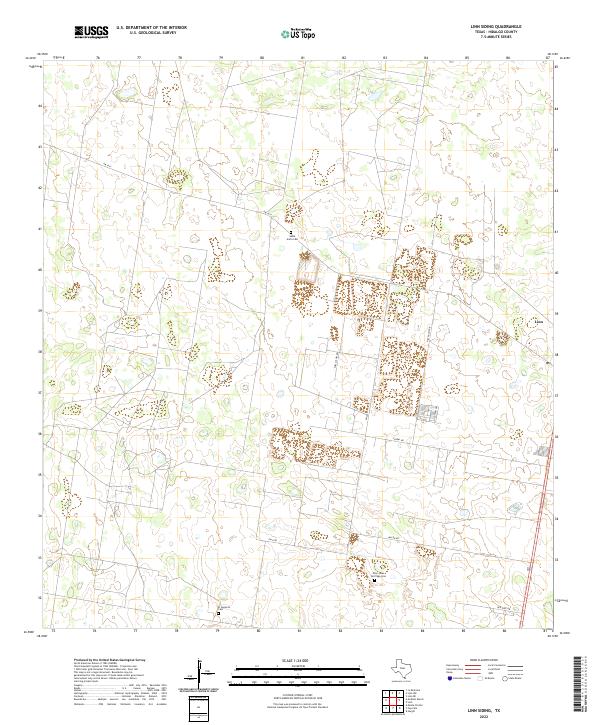 2022 Linn Siding2022 Print · USGSHidalgo County's rural ranchlands and emerging residential corridors are captured here in the early twenty-first century. Genealogists and historians can locate family burial sites like Santa Anita Cem and El Desierto Cem near the settlement of Linn.
 - 2022 Map of Bentsen Ranch, 2022 Print
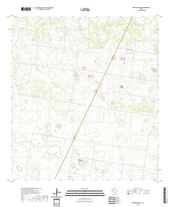 2022 Bentsen Ranch2022 Print · USGSThe South Texas brush country at the border of Starr and Hidalgo counties is captured here in its modern ranching state. Researchers can trace land boundaries and rural routes like La Guajolota Rd, Guasolota Ranch Rd, and FM 681.
 - 2022 Map of Citrus City, 2022 Print
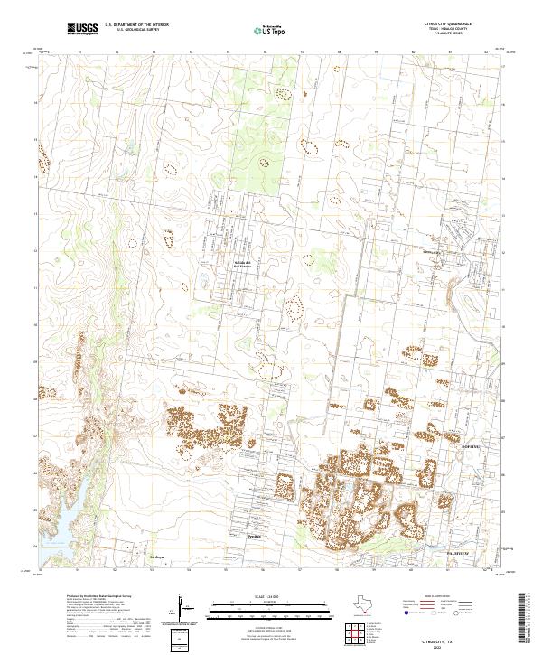 2022 Citrus City2022 Print · USGSHidalgo County settlements near the southern border reflect rapid modern growth within a traditional agricultural grid. Trace the layout of growing communities like Citrus City, Salida del Sol Estates, and the waters of La Joya Lake.
 - 2022 Map of Alton, 2022 Print
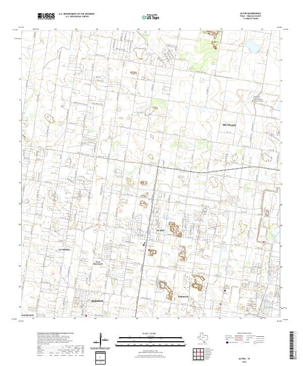 2022 Alton2022 Print · USGSAlton and the surrounding Hidalgo County communities are shown here during a period of rapid suburban and academic growth. Researchers can trace local heritage through landmarks like Shary Memorial Chapel Cem and the evolving streetscapes of La Homa and West Sharyland.
 - 2022 Map of McCook, 2022 Print
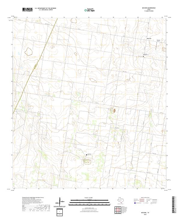 2022 McCook2022 Print · USGSThis South Texas landscape in the early 2020s shows the persistent agricultural and ranching patterns along the Hidalgo and Starr county line. Researchers can trace rural family roots at Jaraschinas Ranch Cem or locate regional landmarks like McCook and BFS West Airport.
 - 2022 Map of McAllen Ranch, 2022 Print
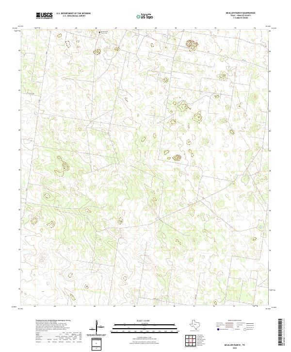 2022 McAllen Ranch2022 Print · USGSHidalgo County ranch lands are documented here in the early 2020s, showing a landscape defined by large property divisions and rural transit. Researchers can locate the Guadalupe El Torrero Cem and trace ranch access along Guajolota Rd and Kamien Rd.
 - 2022 Map of Los Ebanos, 2022 Print
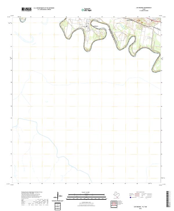 2022 Los Ebanos2022 Print · USGSThe Texas-Mexico border comes into focus along the winding Rio Grande in the early 2020s. Researchers can trace local lineage and land use through the Los Ebanos Cemetery, the settlement of Sam Fordyce, and the historic Military Rd.
 - 2022 Map of Hargill, 2022 Print
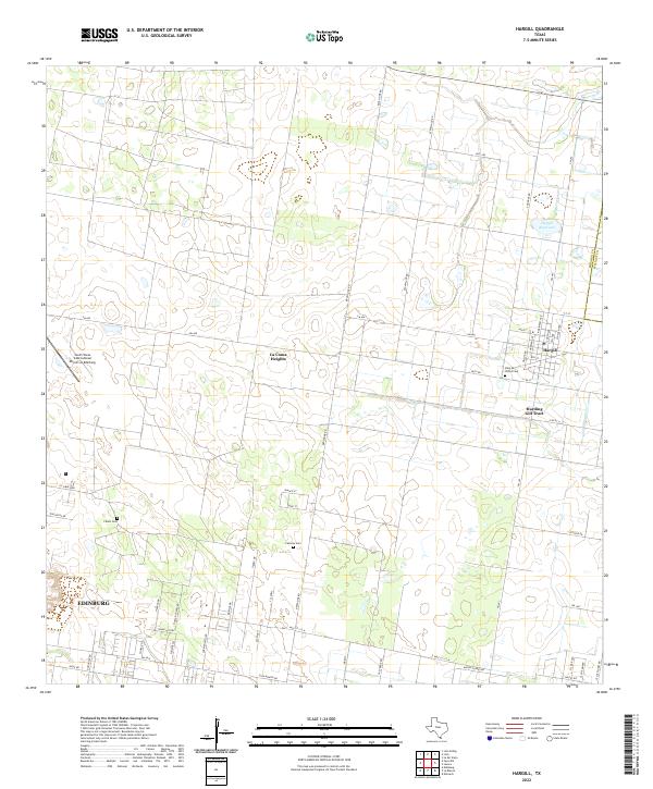 2022 Hargill2022 Print · USGSThe northern edge of the Rio Grande Valley comes into focus in this contemporary survey of the Hidalgo and Willacy county line. Local historians and genealogists can trace the rural landscape from Hargill to La Coma Heights, finding family landmarks like Cavazos Cem and Cibolo Cem.
 - 2022 Map of La Blanca, 2022 Print
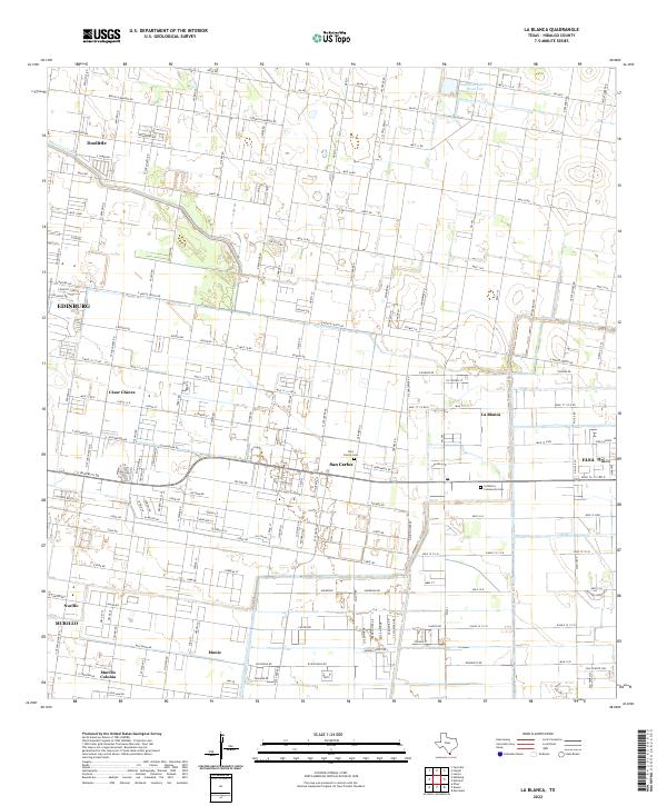 2022 La Blanca2022 Print · USGSHidalgo County's residential colonias and irrigation networks are shown in high detail during this modern era. Genealogists and researchers can trace family landmarks at Fike Family Cemetery or the clusters of homes in San Carlos and César Chávez.
 - 2022 Map of San Juan SE, 2022 Print
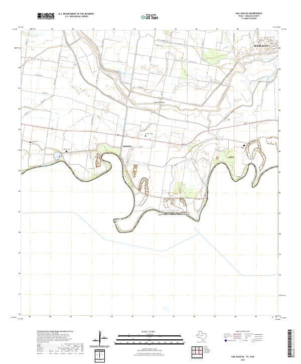 2022 San Juan SE2022 Print · USGSThe Rio Grande Valley's border landscape is captured here in the early twenty-first century, showing the intricate intersection of international boundaries and irrigation. Genealogists can locate several local burial sites including Handy Cem, Webber Cem, and Balli Cem.
Showing maps 1-25 of 40
Top cities of Hidalgo County
- McAllen historical maps
- Edinburg historical maps
- Mission historical maps
- Pharr historical maps
- Weslaco historical maps
- San Juan historical maps
See more
Frequently asked questions
- What are the different types of historical maps available for Hidalgo County?
- What is the oldest map of Hidalgo County?
- Where can I purchase historical maps of Hidalgo County for my home or office?
- Where can I download high-res historical maps of Hidalgo County?
- Are there historical topographic maps available for Hidalgo County?
- Is there historical aerial imagery available for Hidalgo County?
- Where are historical maps of Hidalgo County sourced from?