1950s Maps of Hidalgo County, Texas
Explore 20 historic maps of Hidalgo County from the 1950s. These maps offer a rare glimpse into what life looked like during the 1950s — showing old roads, neighborhoods, homes, and landmarks that have changed or disappeared over time.
Whether you're researching your family's past, planning a metal detecting trip, or studying how Hidalgo County's landscape evolved across the 1950s, these high-resolution maps are a powerful tool for exploring the history of this region.
- Focus on a specific era: All maps on this page are from the 1950s, giving you a focused view of this time period.
- See what’s changed: Compare century-old streets, trails, and buildings to today's modern landscape using overlays and satellite layers.
- Research with precision: Use these maps for genealogy, historical research, land use analysis, or educational projects.
- View, download, or print: Maps are fully viewable online in high resolution, and can be downloaded or printed for your own records.
Start exploring Hidalgo County's history through authentic maps from the 1950s. This is your window into the past.
Hidalgo County, TX maps
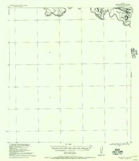
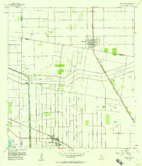
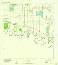
(20)- 1953 Map of Brownsville
 1953 Brownsville1953 Print · USGSCovers Hidalgo County, including Matamoros, Brownsville, and other nearby areas
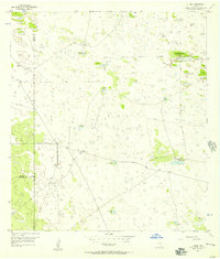
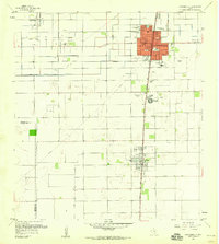
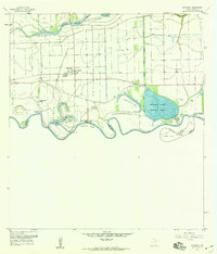
 - 1954 Map of McAllen
 1954 McAllen1954 Print · USGSCovers Hidalgo County, including Reynosa, McAllen, and other nearby areas
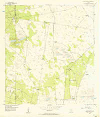
 - 1956 Map of Garcias
 1956 Garcias1956 Print · USGSCovers Hidalgo County, including Sullivan City, La Grulla, and other nearby areas
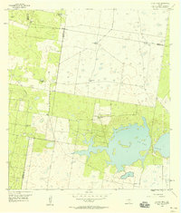
 - 1956 Map of Los Ebanos
 1956 Los Ebanos1956 Print · USGSCovers Hidalgo County, including Gustavo Díaz Ordaz, Valadeces, and other nearby areas
 - 1956 Map of Julian, 1957 Print
 1956 Julian1957 Print · USGSCovers Hidalgo County, including Julian, Kenedy County, and other nearby areas2 unique versions available
 - 1956 Map of Andrea Ranch, 1957 Print
 1956 Andrea Ranch1957 Print · USGSCovers Hidalgo County, including Kenedy County, United States, and other nearby areas2 unique versions available
 - 1956 Map of La Sal Vieja, 1958 Print
 1956 La Sal Vieja1958 Print · USGSCovers Hidalgo County, including Willacy County, Kenedy County, and other nearby areas2 unique versions available
 - 1956 Map of Santa Rosa, 1958 Print
 1956 Santa Rosa1958 Print · USGSCovers Hidalgo County, including Santa Rosa, Sebastian, and other nearby areas3 unique versions available
 - 1956 Map of Raymondville, 1958 Print
 1956 Raymondville1958 Print · USGSCovers Hidalgo County, including Raymondville, Lyford, and other nearby areas3 unique versions available
 - 1956 Map of La Feria, 1959 Print
 1956 La Feria1959 Print · USGSCovers Hidalgo County, including Harlingen, Mercedes, and other nearby areas2 unique versions available
 - 1956 Map of La Sal Vieja, 1959 Print
 1956 La Sal Vieja1959 Print · USGSCovers Hidalgo County, including Rudolph, Benitez Colonia, and other nearby areas
 - 1956 Map of Mercedes, 1959 Print
 1956 Mercedes1959 Print · USGSCovers Hidalgo County, including Weslaco, Mercedes, and other nearby areas3 unique versions available
 - 1956 Map of Santa Maria, 1959 Print
 1956 Santa Maria1959 Print · USGSCovers Hidalgo County, including La Feria, Los Indios, and other nearby areas2 unique versions available
 - 1956 Map of Armstrong, 1959 Print
 1956 Armstrong1959 Print · USGSCovers Hidalgo County, including Julian, Kenedy County, and other nearby areas
 - 1956 Map of Progreso, 1959 Print
 1956 Progreso1959 Print · USGSCovers Hidalgo County, including Weslaco, Mercedes, and other nearby areas4 unique versions available
 - 1956 Map of Brownsville, 1969 Print
 1956 Brownsville1969 Print · USGSCovers Hidalgo County, including Matamoros, Brownsville, and other nearby areas2 unique versions available
 - 1956 Map of Port Isabel, 1983 Print
 1956 Port Isabel1983 Print · USGSCovers Hidalgo County, including Brownsville, Harlingen, and other nearby areas
 - 1957 Map of Lasara, 1958 Print
 1957 Lasara1958 Print · USGSCovers Hidalgo County, including Lasara, Stockholm, and other nearby areas3 unique versions available
 - 1957 Map of Edcouch, 1959 Print
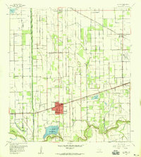
 1957 Edcouch1959 Print · USGSCovers Hidalgo County, including Elsa, Edcouch, and other nearby areas3 unique versions available
 - 1957 Map of Mc Allen, 1962 Print
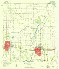
 1957 Mc Allen1962 Print · USGSCovers Hidalgo County, including Reynosa, McAllen, and other nearby areas2 unique versions available
End of results
Showing maps 1-20 of 20
Top cities of Hidalgo County
- McAllen historical maps
- Edinburg historical maps
- Mission historical maps
- Pharr historical maps
- Weslaco historical maps
- San Juan historical maps
See more
Frequently asked questions
- What are the different types of historical maps available for Hidalgo County?
- What is the oldest map of Hidalgo County?
- Where can I purchase historical maps of Hidalgo County for my home or office?
- Where can I download high-res historical maps of Hidalgo County?
- Are there historical topographic maps available for Hidalgo County?
- Is there historical aerial imagery available for Hidalgo County?
- Where are historical maps of Hidalgo County sourced from?