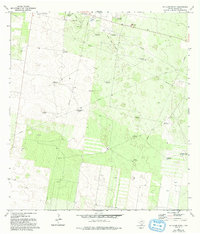
1972 Map of McAllen Ranch
USGS Topo · Published 1993About this map
The Mc Allen Ranch and the surrounding South Texas brush country are defined by a complex network of resource extraction and water management as it appeared in the early 1970s. This landscape in Hidalgo County is marked by an extensive Oil and Gas Field serviced by a Gas Plant, a Pumping Sta, and numerous pipelines cutting through the terrain. The reliance on groundwater is evident through the high density of named windmills, such as Los Indios Windmill and San Ignacio Windmill, which were essential for ranching operations in this arid region.
Find a feature on this map
23 named features on this map. Tap any name to fly to it.
Don’t see what you’re looking for? This feature index may not catch every label — zoom into the map to look around manually.
Map Details
Editions of this 1972 McAllen Ranch Map
2 editions found
Other maps of this area

1939 · Linn
USGS Topo · 1:62,500

1939 · La Reforma
USGS Topo · 1:62,500

1940 · Monte Christo
USGS Topo · 1:62,500

1949 · Mc Allen
USGS Topo · 1:250,000

1954 · McAllen
USGS Topo · 1:250,000

1957 · Mc Allen
USGS Topo · 1:250,000

1962 · McAllen
USGS Topo · 1:250,000

1963 · Monte Christo
USGS Topo · 1:24,000

1963 · Linn NW
USGS Topo · 1:24,000
1963 · Faysvillle
USGS Topo · 1:24,000