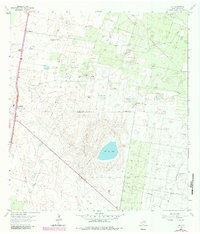
1939 Map of Linn
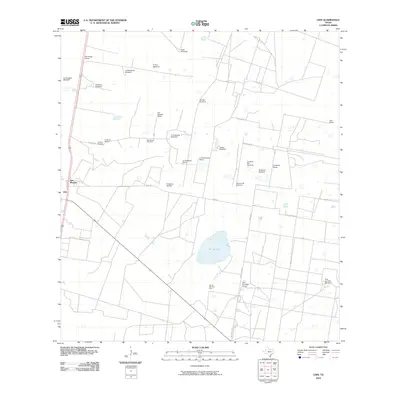
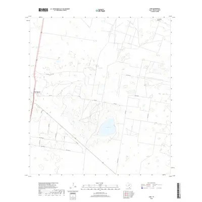
USGS Topo · Published 1958About this map
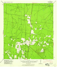
Linn and San Manuel serve as central nodes for a landscape dominated by historic ranching operations in this 1939 survey of Hidalgo County. The map documents an era when the American Legion Memorial Highway and the Texas and New Orleans railroad provided the primary north-south corridors for South Texas livestock and agricultural transport. The terrain is marked by numerous family-named properties, including the Santa Fe Ranch, Delmita Ranch, and San Felipe Ranch, reflecting the deep-rooted ranching heritage of the region.
Find a feature on this map
45 named features on this map. Tap any name to fly to it.
Don’t see what you’re looking for? This feature index may not catch every label — zoom into the map to look around manually.
Map Details
Editions of this 1939 Linn Map
This is the sole edition of this map. No revisions or reprints were ever made.
Historical Maps of Linn Siding Through Time
7 maps found