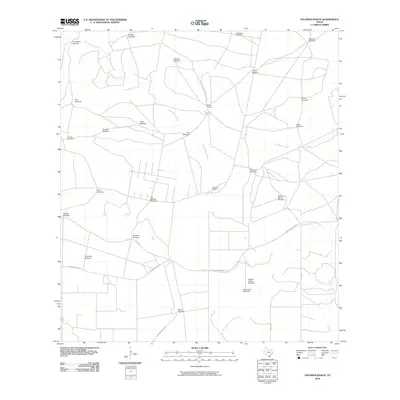
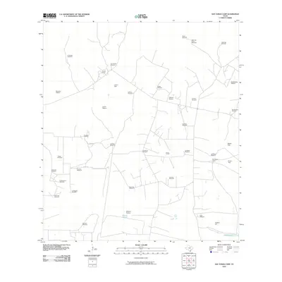
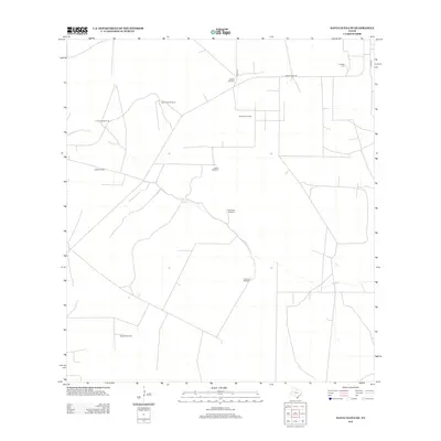
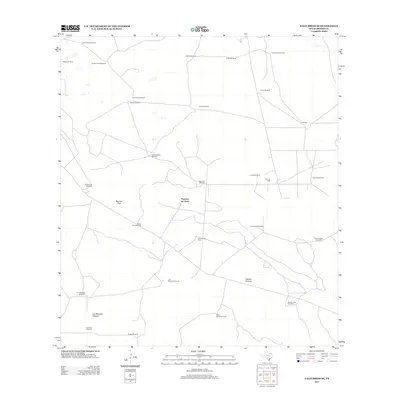
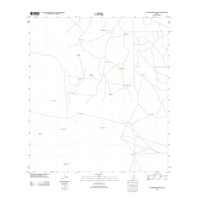
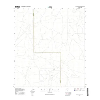
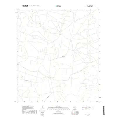
1939 Map of Encantada
USGS Topo · Published 1959About this map
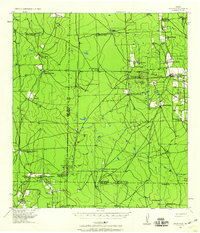
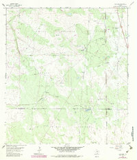
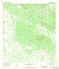
Deep South Texas ranching and petroleum production converge in this 1939 survey of Brooks and Starr counties. The landscape is defined by vast family-held holdings, including Encantada Ranch, La Puerta Ranch, and Encinitas Ranch, interspersed with an extensive network of artesian wells and windmills. The era's growing energy infrastructure is clearly visible through the development of the Alta Mesa Oil Field and the Kelsey Bass Oil Field, supported by the Humble Oil & Refining Co and the Pasotex Pipeline. Small community clusters like Guerra and E Juarez appear alongside numerous named ranch headquarters such as Sta Elena Ranch and Buena Vista Ranch, providing a window into the settlement patterns of the Rio Grande Plain before mid-century modernization.
Find a feature on this map
34 named features on this map. Tap any name to fly to it.
Don’t see what you’re looking for? This feature index may not catch every label — zoom into the map to look around manually.
Map Details
Editions of this 1939 Encantada Map
This is the sole edition of this map. No revisions or reprints were ever made.
Historical Maps of Santa Elena Through Time
67 maps found
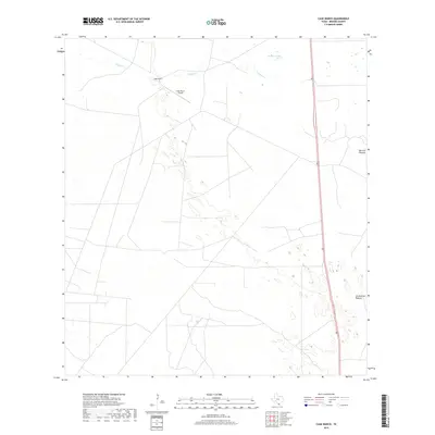
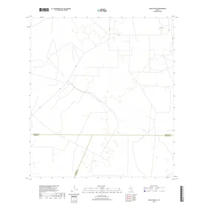
1939 Encantada
Brooks County, TX
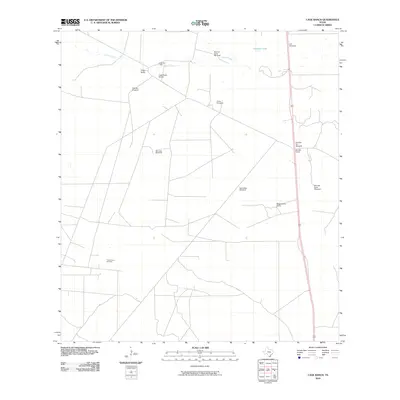
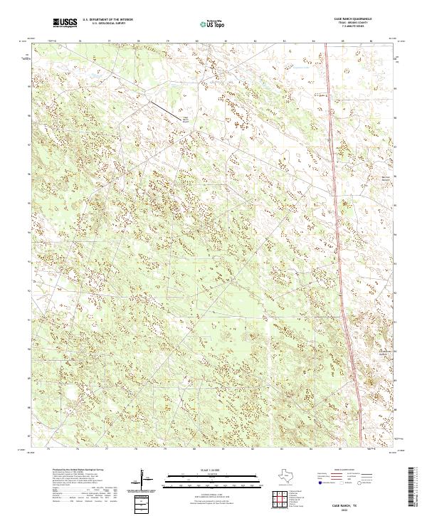
1963 Cage Ranch
Brooks County, TX
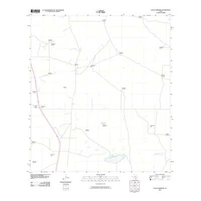
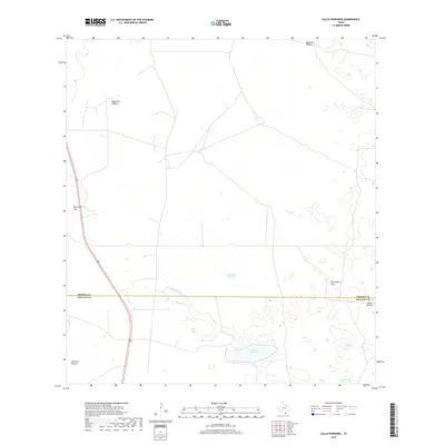
1963 Callo Padrones
Brooks County, TX
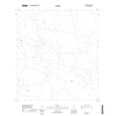
1963 Falfurrias SE
Brooks County, TX
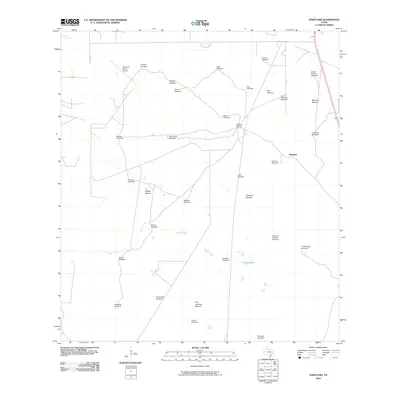
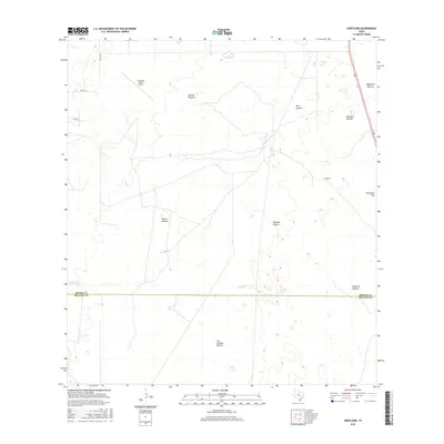
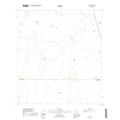
1963 Hartland
Brooks County, TX
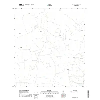
1963 San Tomas Camp
Brooks County, TX
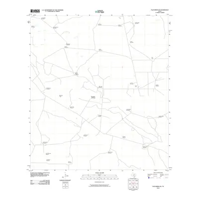
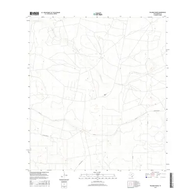
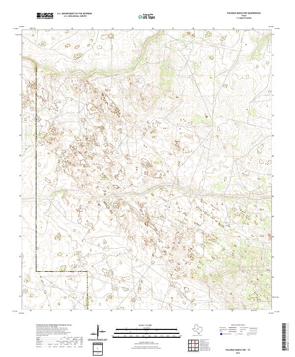
1968 Palomas Ranch
Brooks County, TX
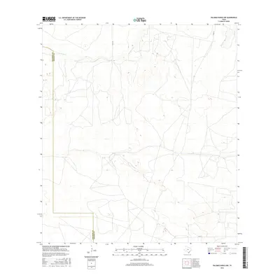
1968 Palomas Ranch NW
Brooks County, TX
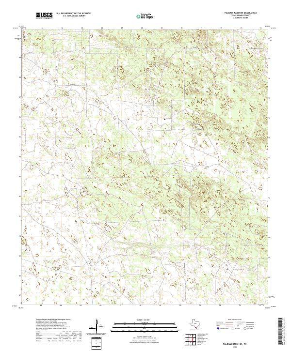
1968 Palomas Ranch SE
Brooks County, TX
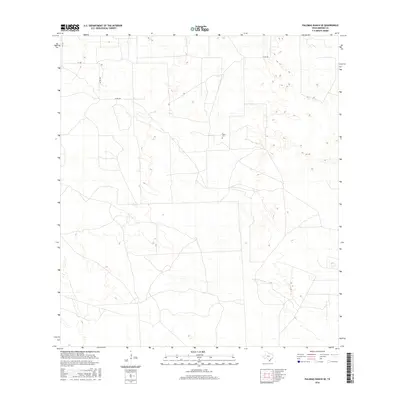
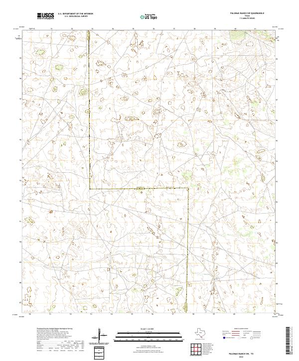
1968 Palomas Ranch SW
Brooks County, TX
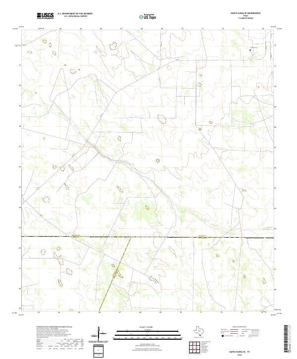
1972 Santa Elena SE
Brooks County, TX
1972 Tacubaya
Brooks County, TX
2010 Cage Ranch
Brooks County, TX
2010 Callo Padrones
Brooks County, TX
2010 Falfurrias SE
Brooks County, TX
2010 Hartland
Brooks County, TX
2010 Palomas Ranch
Brooks County, TX
2010 Palomas Ranch NW
Brooks County, TX
2010 Palomas Ranch SE
Brooks County, TX

2010 Palomas Ranch SW
Brooks County, TX
2010 Santa Elena SE
Brooks County, TX
2010 San Tomas Camp
Brooks County, TX
2010 Tacubaya
Brooks County, TX
2012 Callo Padrones
Brooks County, TX
2012 Hartland
Brooks County, TX
2012 Santa Elena SE
Brooks County, TX
2012 San Tomas Camp
Brooks County, TX
2012 Tacubaya
Brooks County, TX
2013 Cage Ranch
Brooks County, TX
2013 Falfurrias SE
Brooks County, TX
2013 Palomas Ranch
Brooks County, TX
2013 Palomas Ranch NW
Brooks County, TX
2013 Palomas Ranch SE
Brooks County, TX
2013 Palomas Ranch SW
Brooks County, TX
2016 Cage Ranch
Brooks County, TX
2016 Callo Padrones
Brooks County, TX
2016 Falfurrias SE
Brooks County, TX
2016 Hartland
Brooks County, TX
2016 Palomas Ranch
Brooks County, TX
2016 Palomas Ranch NW
Brooks County, TX
2016 Palomas Ranch SE
Brooks County, TX
2016 Palomas Ranch SW
Brooks County, TX
2016 Santa Elena SE
Brooks County, TX
2016 San Tomas Camp
Brooks County, TX
2016 Tacubaya
Brooks County, TX
2019 Cage Ranch
Brooks County, TX
2019 Callo Padrones
Brooks County, TX
2019 Falfurrias SE
Brooks County, TX
2019 Hartland
Brooks County, TX
2019 Palomas Ranch
Brooks County, TX
2019 Palomas Ranch NW
Brooks County, TX
2019 Palomas Ranch SE
Brooks County, TX
2019 Palomas Ranch SW
Brooks County, TX
2019 Santa Elena SE
Brooks County, TX
2019 San Tomas Camp
Brooks County, TX
2019 Tacubaya
Brooks County, TX
2022 Cage Ranch
Brooks County, TX
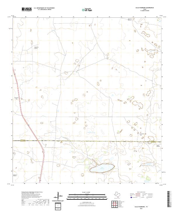
2022 Callo Padrones
Brooks County, TX
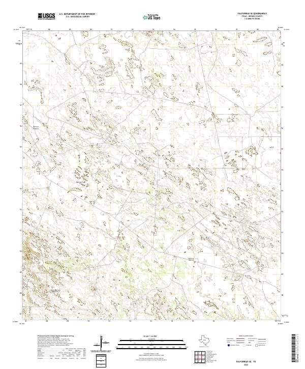
2022 Falfurrias SE
Brooks County, TX
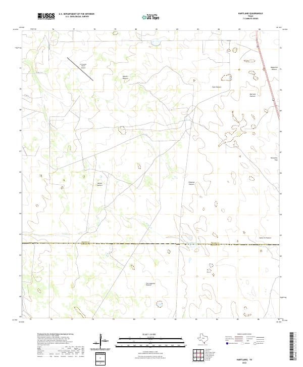
2022 Hartland
Brooks County, TX
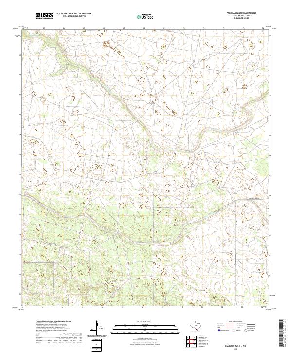
2022 Palomas Ranch
Brooks County, TX
2022 Palomas Ranch NW
Brooks County, TX
2022 Palomas Ranch SE
Brooks County, TX
2022 Palomas Ranch SW
Brooks County, TX
2022 Santa Elena SE
Brooks County, TX
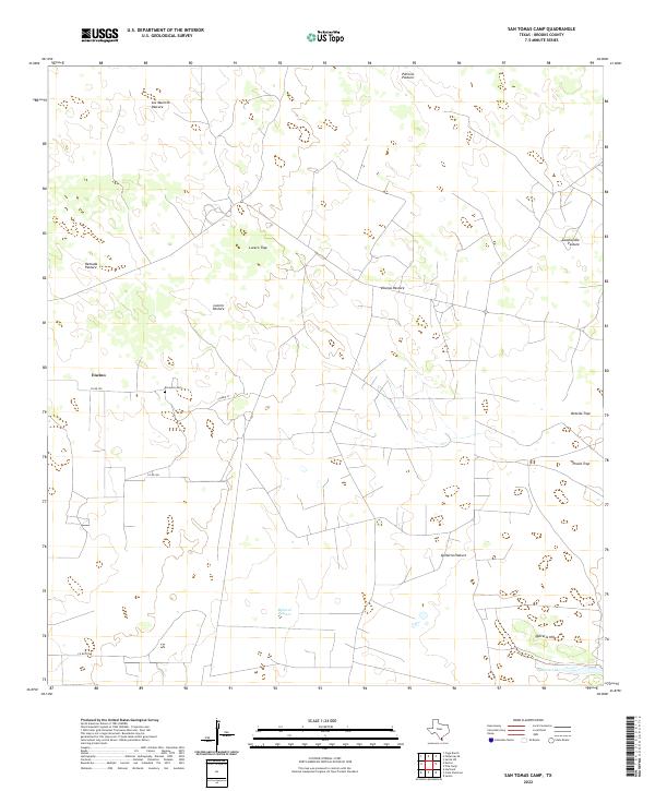
2022 San Tomas Camp
Brooks County, TX
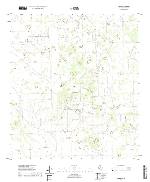
2022 Tacubaya
Brooks County, TX