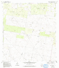
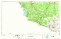
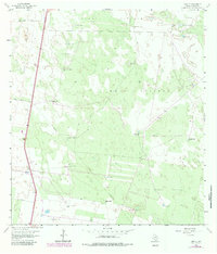
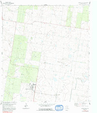
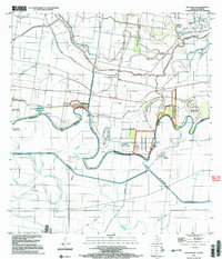
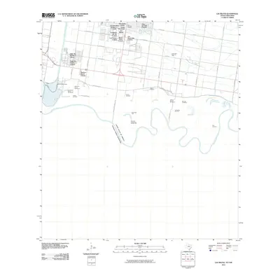
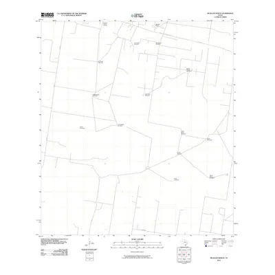
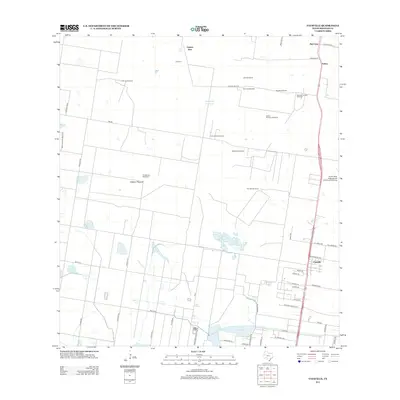
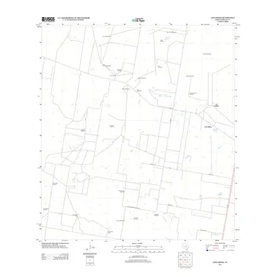
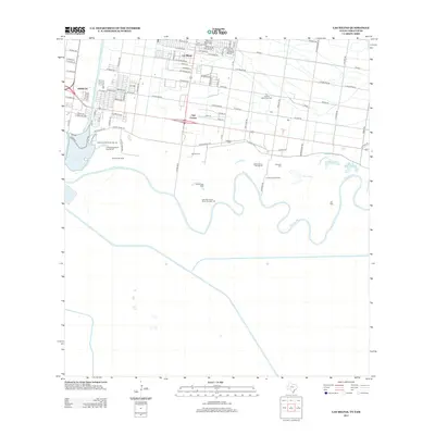
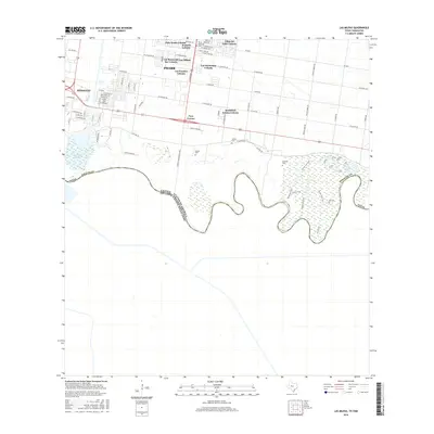
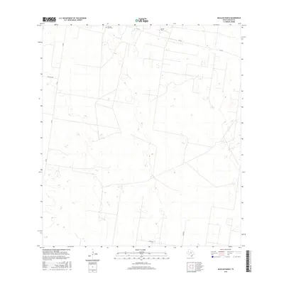
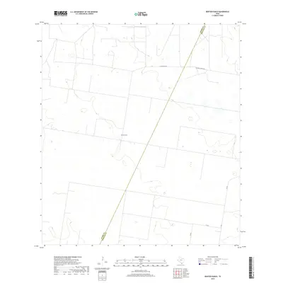
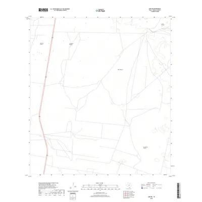
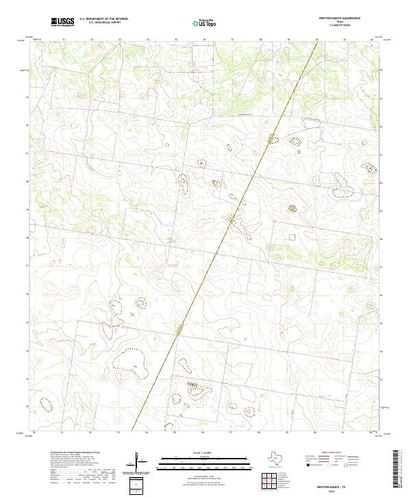
1972 Map of Bentsen Ranch
USGS Topo · Published 1993About this map
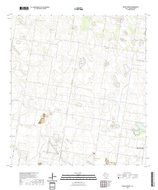
The Starr Co Hidalgo Co line cuts through this South Texas landscape, where the extraction economy and ranching culture define the terrain. The presence of the Oil and Gas Field and the more specific Hinde Oil Field shows a region deeply committed to energy production in the early 1970s, evidenced by numerous Drill Holes and Oil Wells scattered throughout.
Find a feature on this map
25 named features on this map. Tap any name to fly to it.
Don’t see what you’re looking for? This feature index may not catch every label — zoom into the map to look around manually.
Map Details
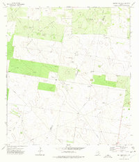
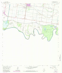
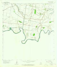
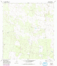
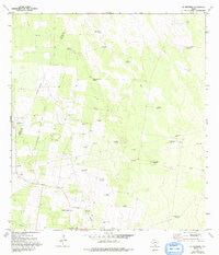
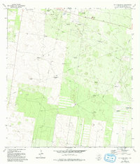
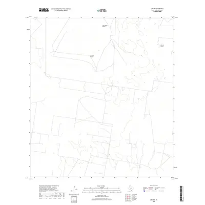
Editions of this 1972 Bentsen Ranch Map
2 editions found
Historical Maps of Hidalgo County Through Time
74 maps found
1939 La Reforma
Hidalgo County, TX
1940 Monte Christo
Hidalgo County, TX

1949 Mc Allen
Hidalgo County, TX
1957 Mc Allen
Hidalgo County, TX
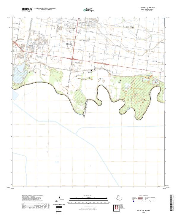
1962 Las Milpas
Hidalgo County, TX
1962 San Juan SE
Hidalgo County, TX
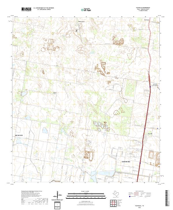
1963 Faysvillle
Hidalgo County, TX
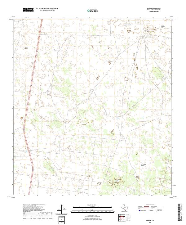
1963 Linn NE
Hidalgo County, TX
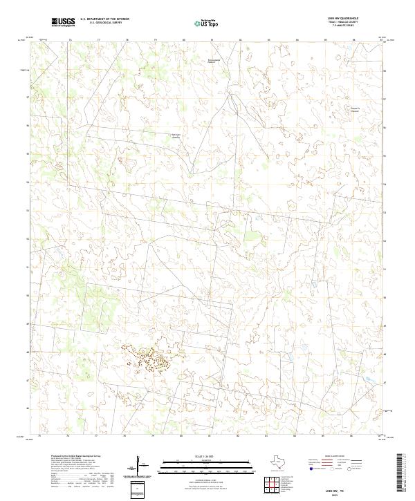
1963 Linn NW
Hidalgo County, TX
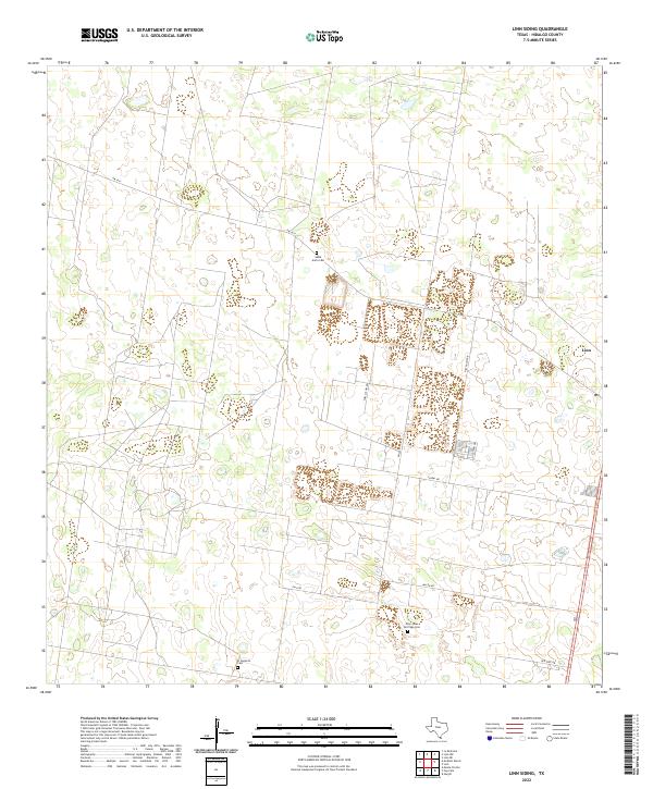
1963 Linn Siding
Hidalgo County, TX
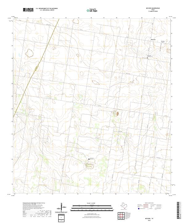
1963 McCook
Hidalgo County, TX
1963 Monte Christo
Hidalgo County, TX
1972 Bentsen Ranch
Hidalgo County, TX
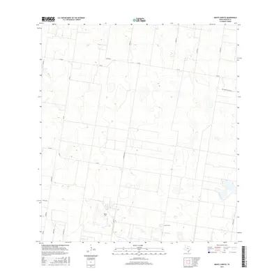
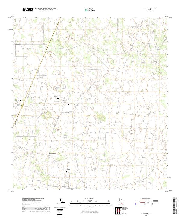
1972 La Reforma
Hidalgo County, TX
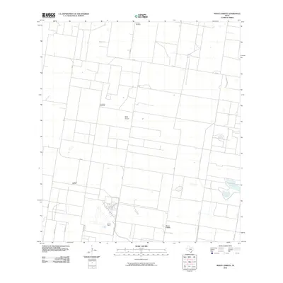
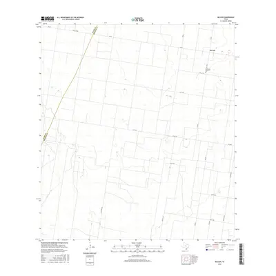
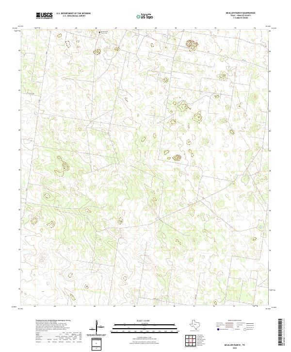
1972 McAllen Ranch
Hidalgo County, TX

1983 Mc Allen
Hidalgo County, TX

1992 Mc Allen
Hidalgo County, TX
2002 Las Milpas
Hidalgo County, TX
2002 San Juan SE
Hidalgo County, TX
2010 Bentsen Ranch
Hidalgo County, TX
2010 Faysville
Hidalgo County, TX
2010 La Reforma
Hidalgo County, TX
2010 Las Milpas
Hidalgo County, TX
2010 Linn NE
Hidalgo County, TX
2010 Linn NW
Hidalgo County, TX
2010 Linn Siding
Hidalgo County, TX
2010 McAllen Ranch
Hidalgo County, TX

2010 McCook
Hidalgo County, TX
2010 Monte Christo
Hidalgo County, TX
2010 San Juan SE
Hidalgo County, TX
2012 Bentsen Ranch
Hidalgo County, TX
2012 Faysville
Hidalgo County, TX
2012 La Reforma
Hidalgo County, TX
2012 Linn NE
Hidalgo County, TX
2012 Linn NW
Hidalgo County, TX
2012 Linn Siding
Hidalgo County, TX
2012 McAllen Ranch
Hidalgo County, TX
2012 McCook
Hidalgo County, TX
2012 Monte Christo
Hidalgo County, TX
2013 Las Milpas
Hidalgo County, TX

2013 San Juan SE
Hidalgo County, TX
2016 Bentsen Ranch
Hidalgo County, TX
2016 Faysville
Hidalgo County, TX
2016 La Reforma
Hidalgo County, TX
2016 Las Milpas
Hidalgo County, TX
2016 Linn NE
Hidalgo County, TX
2016 Linn NW
Hidalgo County, TX
2016 Linn Siding
Hidalgo County, TX
2016 McAllen Ranch
Hidalgo County, TX
2016 McCook
Hidalgo County, TX
2016 Monte Christo
Hidalgo County, TX
2016 San Juan SE
Hidalgo County, TX
2019 Bentsen Ranch
Hidalgo County, TX
2019 Faysville
Hidalgo County, TX
2019 La Reforma
Hidalgo County, TX
2019 Las Milpas
Hidalgo County, TX
2019 Linn NE
Hidalgo County, TX
2019 Linn NW
Hidalgo County, TX
2019 Linn Siding
Hidalgo County, TX
2019 McAllen Ranch
Hidalgo County, TX
2019 McCook
Hidalgo County, TX
2019 Monte Christo
Hidalgo County, TX
2019 San Juan SE
Hidalgo County, TX
2022 Bentsen Ranch
Hidalgo County, TX
2022 Faysville
Hidalgo County, TX
2022 La Reforma
Hidalgo County, TX
2022 Las Milpas
Hidalgo County, TX
2022 Linn NE
Hidalgo County, TX
2022 Linn NW
Hidalgo County, TX
2022 Linn Siding
Hidalgo County, TX
2022 McAllen Ranch
Hidalgo County, TX
2022 McCook
Hidalgo County, TX
2022 Monte Christo
Hidalgo County, TX
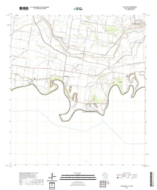
2022 San Juan SE
Hidalgo County, TX