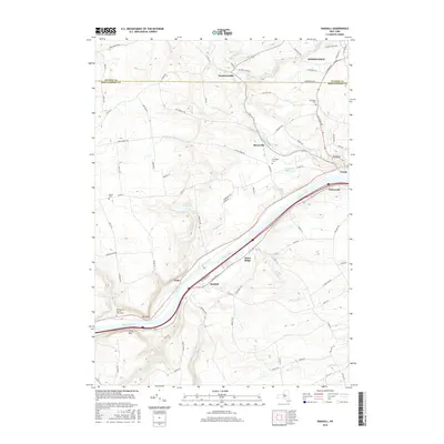
2016 Map of Randall
USGS Topo · Published 2016About this map
The Mohawk River corridor dominates this landscape, serving as a primary artery between the settlements of Fonda and Fultonville. The topography is defined by the significant river narrows created by Big Nose and Little Nose, which have historically funneled transportation through this valley. To the north, the terrain rises toward Johnstown, with several smaller communities like Sammonsville and Berryville established along the tributaries of Cayadutta Creek.
Find a feature on this map
88 named features on this map. Tap any name to fly to it.
Don’t see what you’re looking for? This feature index may not catch every label — zoom into the map to look around manually.
Map Details
Editions of this 2016 Randall Map
This is the sole edition of this map. No revisions or reprints were ever made.
Other maps of this area

1896 · Fonda
USGS Topo · 1:62,500

1898 · Fonda
USGS Topo · 1:62,500

1898 · Canajoharie
USGS Topo · 1:62,500

1900 · Canajoharie
USGS Topo · 1:62,500

1901 · Lassellsville
USGS Topo · 1:62,500

1902 · Canajoharie
USGS Topo · 1:62,500

1902 · Fonda
USGS Topo · 1:62,500

1903 · Gloversville
USGS Topo · 1:62,500

1903 · Lassellsville
USGS Topo · 1:62,500

1943 · Gloversville
USGS Topo · 1:62,500