Loading...
Loading map...2022 Map of Randleman
USGS Topo · Published 2022About this map
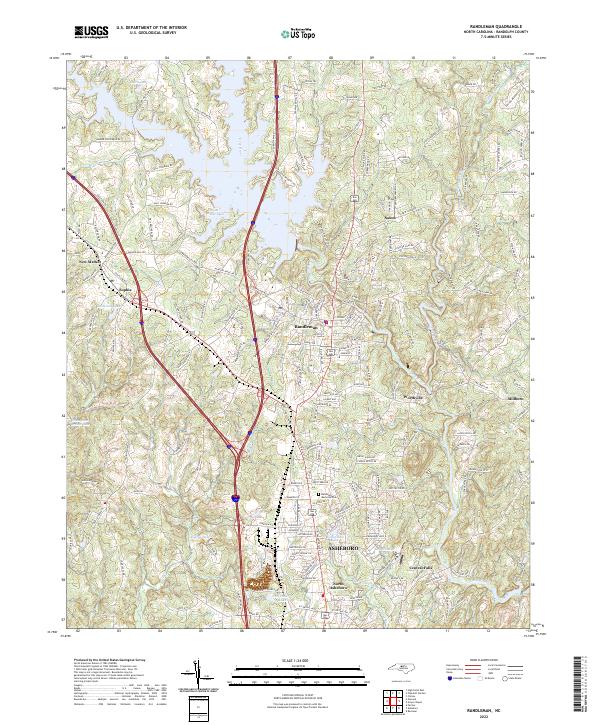
The Deep River meanders through the heart of this Randolph County landscape, anchoring several established communities and industrial settlements. The town of Randleman serves as a primary hub, with the river passing directly through its center before winding south toward Worthville and Central Falls. This area reflects a modern transition, where historical settlement patterns along the river valley meet the northward expansion of Asheboro.
Find a feature on this map
208 named features on this map. Tap any name to fly to it.
Don’t see what you’re looking for? This feature index may not catch every label — zoom into the map to look around manually.
Map Details
Date Portrayed2022
Date Published2022
PublisherU.S. Geological Survey
Map TypeTopographic
Scale1:24000
Physical Dimensions24 x 29 inches
Editions of this 2022 Randleman Map
This is the sole edition of this map. No revisions or reprints were ever made.
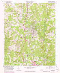
Historical Maps of Randleman Through Time
Featured Locations
Source Details
SourceU.S. Geological Survey
CopyrightPublic Domain