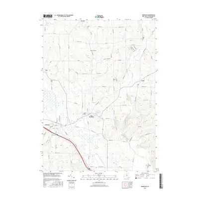
2016 Map of Randolph
USGS Topo · Published 2016About this map
Randolph and East Randolph anchor this Cattaraugus County landscape, where the valley floor of the Little Conewango Cr meets a series of prominent elevations. The terrain is defined by distinct landmarks like Hoxie Hill and the deep incision of Willis Gulf to the west. Water management is central to the area's geography, visible in the East Randolph Reservoir and Stillson Pond. A dense network of rural roads, including the curiously named Billion Dollar Rd, connects the larger villages to outlying settlements such as Axeville and Napoli.
Find a feature on this map
85 named features on this map. Tap any name to fly to it.
Don’t see what you’re looking for? This feature index may not catch every label — zoom into the map to look around manually.
Map Details
Editions of this 2016 Randolph Map
This is the sole edition of this map. No revisions or reprints were ever made.
Other maps of this area

1900 · Cherry Creek
USGS Topo · 1:62,500

1905 · Jamestown
USGS Topo · 1:62,500

1922 · Randolph
USGS Topo · 1:62,500

1923 · Randolph
USGS Topo · 1:62,500

1923 · Cattaraugus
USGS Topo · 1:62,500

1938 · Cattaraugus
USGS Topo · 1:62,500

1941 · Cattaraugus
USGS Topo · 1:62,500

1941 · Cherry Creek
USGS Topo · 1:62,500

1942 · Jamestown
USGS Topo · 1:62,500

1943 · Randolph
USGS Topo · 1:62,500