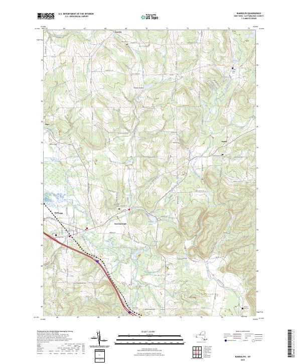
2023 Map of Randolph
USGS Topo · Published 2023About this map
Randolph and East Randolph serve as the primary hubs of this modern landscape in Cattaraugus County, situated where the valley of Little Conewango Creek meets local drainage from Elm Creek. The map documents a predominantly rural environment defined by high ridges and narrow valleys, such as Peaslee Hollow and Willis Gulf. The distribution of burial grounds across the quadrangle, including the South Napoli Cem and Axeville Cem, offers a detailed spatial record for genealogists tracking local families.
Find a feature on this map
88 named features on this map. Tap any name to fly to it.
Don’t see what you’re looking for? This feature index may not catch every label — zoom into the map to look around manually.
Map Details
Editions of this 2023 Randolph Map
This is the sole edition of this map. No revisions or reprints were ever made.
Other maps of this area

1900 · Cherry Creek
USGS Topo · 1:62,500

1905 · Jamestown
USGS Topo · 1:62,500

1922 · Randolph
USGS Topo · 1:62,500

1923 · Randolph
USGS Topo · 1:62,500

1923 · Cattaraugus
USGS Topo · 1:62,500

1938 · Cattaraugus
USGS Topo · 1:62,500

1941 · Cattaraugus
USGS Topo · 1:62,500

1941 · Cherry Creek
USGS Topo · 1:62,500

1942 · Jamestown
USGS Topo · 1:62,500

1943 · Randolph
USGS Topo · 1:62,500