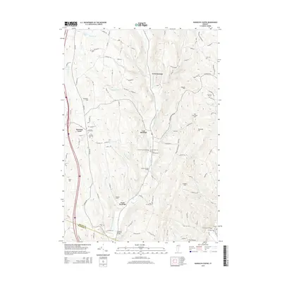
2015 Map of Randolph Center
USGS Topo · Published 2015About this map
Randolph Center and its surrounding hilltops define this Vermont landscape as it appeared in the mid-2010s. The region is characterized by small agricultural hamlets like East Randolph, North Randolph, and South Randolph, all connected by a network of rural roads such as Snow Rd and Klondike Rd. A notable concentration of historic architecture is preserved along the Second Br White River, which is spanned by several traditional structures including the C K Smith Covered Bridge, Braley Covered Bridge, and Kingsbury Covered Bridge.
Find a feature on this map
107 named features on this map. Tap any name to fly to it.
Don’t see what you’re looking for? This feature index may not catch every label — zoom into the map to look around manually.
Map Details
Editions of this 2015 Randolph Center Map
This is the sole edition of this map. No revisions or reprints were ever made.
Other maps of this area

1896 · Strafford
USGS Topo · 1:62,500

1919 · Royalton
USGS Topo · 1:62,500

1922 · Barre
USGS Topo · 1:48,000

1924 · Barre
USGS Topo · 1:62,500

1924 · Randolph
USGS Topo · 1:48,000

1926 · Randolph
USGS Topo · 1:62,500

1944 · Strafford
USGS Topo · 1:62,500

1947 · Corinth
USGS Topo · 1:62,500

1948 · East Barre
USGS Topo · 1:62,500

1950 · Glens Falls
USGS Topo · 1:250,000