2024 Map of Randolph Center
USGS Topo · Published 2024About this map
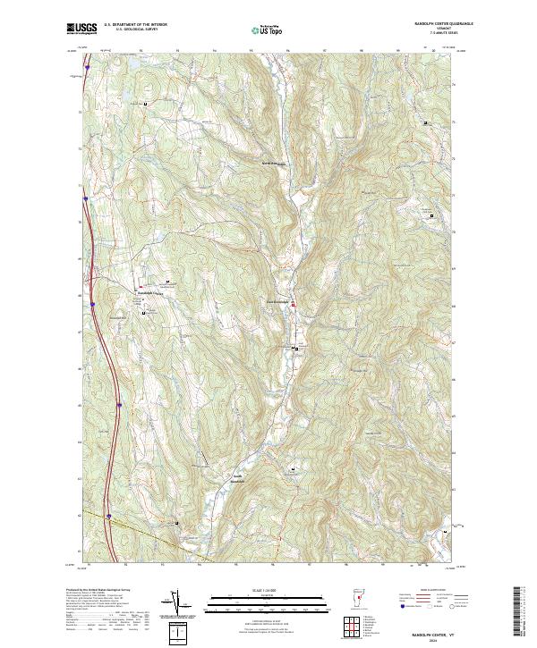
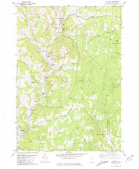
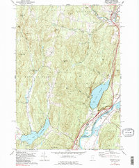
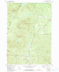
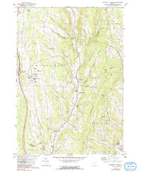
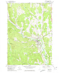
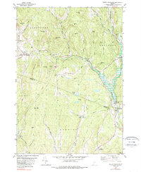
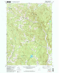
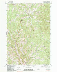
Randolph Center occupies a central upland position in this Orange County landscape, defined by the winding course of the Second Branch White River and the high ground of Randolph Hill. The area maintains a clear rural and institutional character, anchored by the Vermont Technical College campus and the extensive grounds of the Vermont Veterans Memorial Cem. To the east, the terrain drops toward East Randolph and the river valley, where the First Branch White River begins to influence the drainage pattern. The map reveals a distribution of historic family and community burying grounds, from the Doggall Cem in the north to the Kelsey Mountain Cem overlooking the southern valleys. These sites, alongside landmarks like Brandon Airport, illustrate the long-term settlement patterns of these Vermont hills, where narrow valley roads like Silloway Rd and Davis Rd connect scattered farmsteads and small village centers.
Find a feature on this map
70 named features on this map. Tap any name to fly to it.
Don’t see what you’re looking for? This feature index may not catch every label — zoom into the map to look around manually.
Map Details
Editions of this 2024 Randolph Center Map
This is the sole edition of this map. No revisions or reprints were ever made.
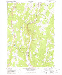
Historical Maps of Randolph Through Time
26 maps found
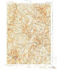
1896 Strafford
Orange County, VT
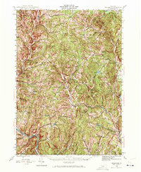
1944 Strafford
Orange County, VT

1947 Corinth
Orange County, VT

1973 East Corinth
Orange County, VT
1980 Brookfield
Orange County, VT
1981 Chelsea
Orange County, VT
1981 Fairlee
Orange County, VT
1981 Knox Mountain
Orange County, VT
1981 Randolph Center
Orange County, VT
1981 Randolph
Orange County, VT
1981 South Strafford
Orange County, VT
1981 Vershire
Orange County, VT
1981 Washington
Orange County, VT

1981 West Topsham
Orange County, VT
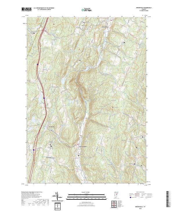
2024 Brookfield
Orange County, VT
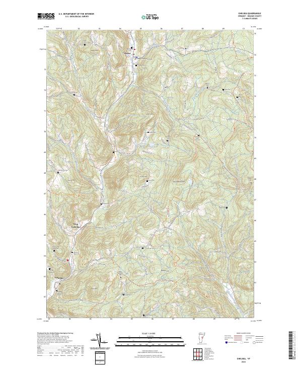
2024 Chelsea
Orange County, VT
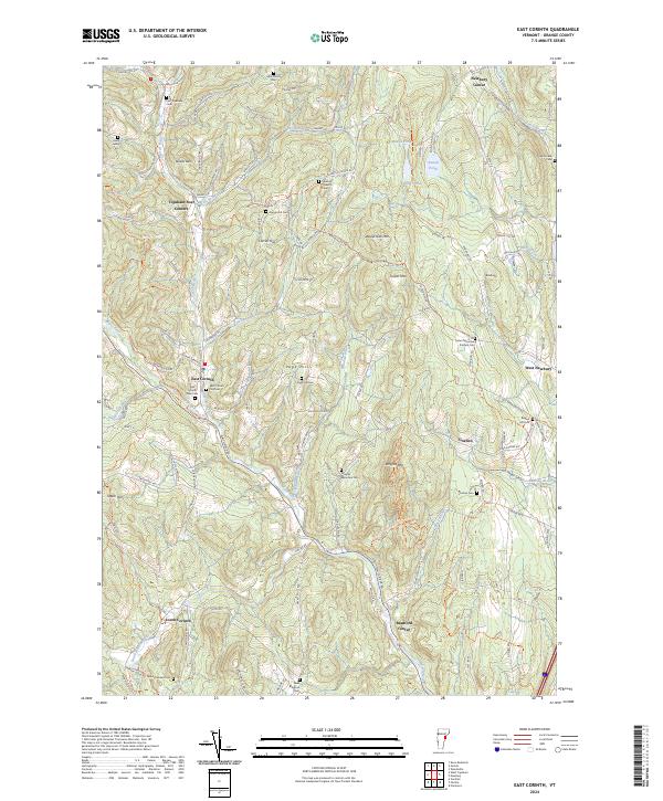
2024 East Corinth
Orange County, VT
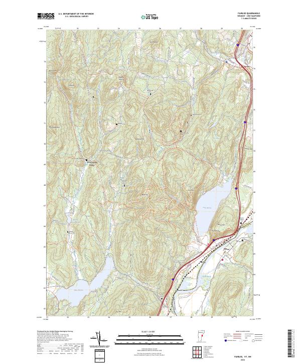
2024 Fairlee
Orange County, VT
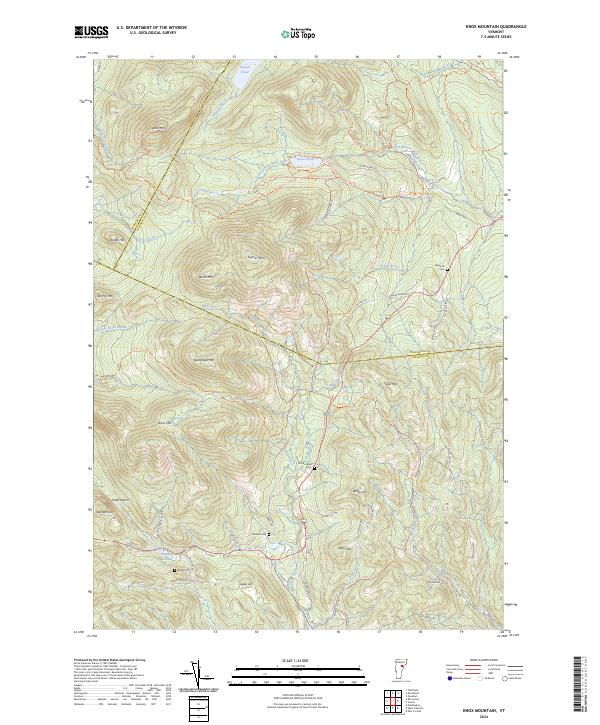
2024 Knox Mountain
Orange County, VT
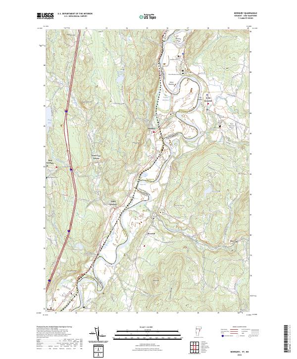
2024 Newbury
Orange County, VT
2024 Randolph Center
Orange County, VT
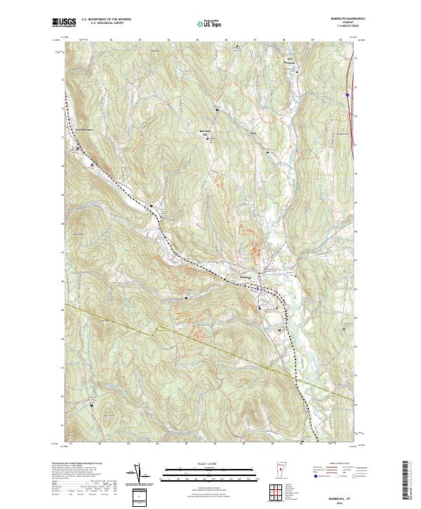
2024 Randolph
Orange County, VT
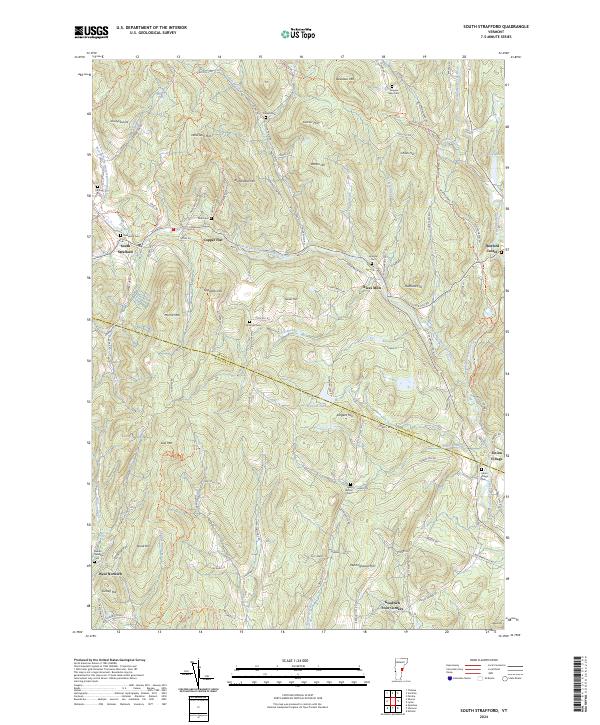
2024 South Strafford
Orange County, VT
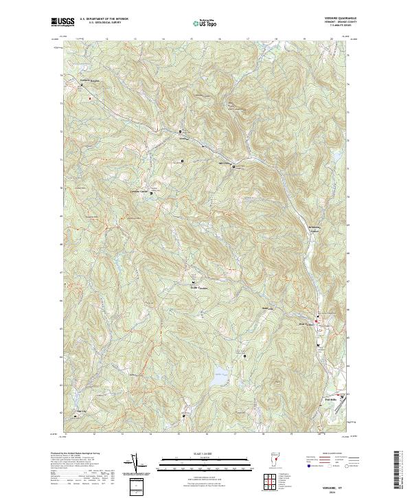
2024 Vershire
Orange County, VT
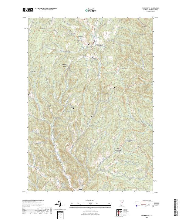
2024 Washington
Orange County, VT
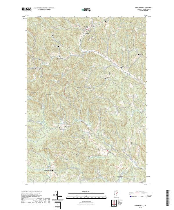
2024 West Topsham
Orange County, VT