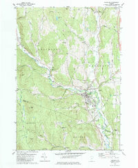
1981 Map of Randolph
USGS Topo · Published 1981About this map
Randolph serves as the central hub of this Vermont landscape, where the Central Vermont railroad follows the valley of the Third Branch White River. The settlement pattern reflects the classic New England township structure, with outlying hamlets like West Braintree, East Braintree, and Beanville connected by winding valley roads such as Vermont 12A. Genealogy and local history researchers will find a high density of burial sites including Pleasant View Cem, Moulton Cem, and the family-named Roswell Ford Cem. The map also captures significant local landmarks like the Union High Sch and the General Thomas Monument located south of the main town. The surrounding terrain is defined by steep hills such as Braintree Hill and Hebard Hill, which forced development into the narrow river corridors.
Find a feature on this map
58 named features on this map. Tap any name to fly to it.
Don’t see what you’re looking for? This feature index may not catch every label — zoom into the map to look around manually.
Map Details
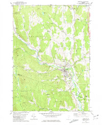
Editions of this 1981 Randolph Map
2 editions found
Other maps of this area

1915 · Rochester
USGS Topo · 1:62,500

1917 · Rochester
USGS Topo · 1:62,500

1919 · Royalton
USGS Topo · 1:62,500

1919 · Lincoln Mountain
USGS Topo · 1:62,500

1920 · Lincoln Mountain
USGS Topo · 1:48,000

1921 · Lincoln Mountain
USGS Topo · 1:62,500

1922 · Barre
USGS Topo · 1:48,000

1924 · Barre
USGS Topo · 1:62,500

1924 · Randolph
USGS Topo · 1:48,000

1926 · Randolph
USGS Topo · 1:62,500