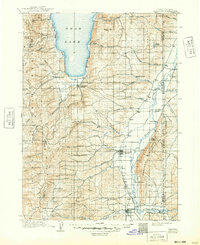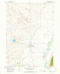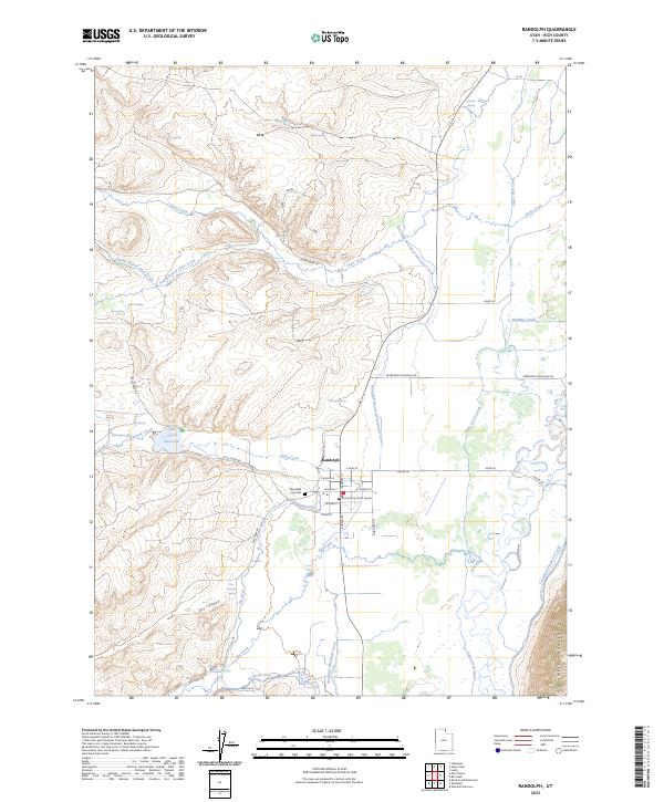
2023 Map of Randolph
USGS Topo · Published 2023About this map
Randolph serves as a central hub in this high-desert landscape of Rich County, Utah, defined by its complex irrigation network and proximity to the Bear River. The town layout is clearly documented, anchored by the Rich County Court House and the nearby Randolph City Cem. The surrounding terrain is a testament to Western water management, featuring an intricate system of man-made waterways including the Randolph-Woodruff Extension Canal, Sage Creek Canal, and the McMinn Canal that draw from the Bear River and local tributaries like Otter Creek.
Find a feature on this map
50 named features on this map. Tap any name to fly to it.
Don’t see what you’re looking for? This feature index may not catch every label — zoom into the map to look around manually.
Map Details
Editions of this 2023 Randolph Map
This is the sole edition of this map. No revisions or reprints were ever made.