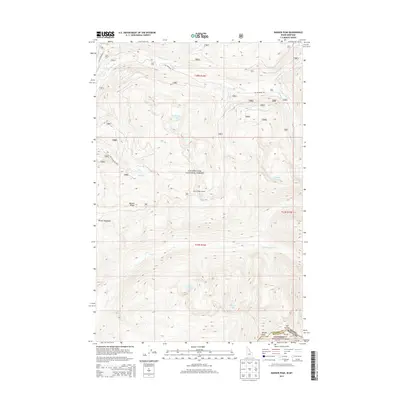
2013 Map of Ranger Peak
USGS Topo · Published 2013About this map
Clearwater National Forest and Bitterroot National Forest converge at the jagged boundary between Idaho and Montana, marked by high-elevation peaks and remote mountain hydrology. The Idaho-Montana state line follows the divide near Old Stormy, while the interior of the quadrangle is defined by the steep watersheds of Brushy Fork and Storm Cr. Strategic vantage points such as the Beaver Ridge Lookout emphasize the area's importance for forest management and fire observation. The landscape is dotted with high alpine basins containing Rudd-Moore Lakes, Siah Lake, and Ranger Lake below the summit of Ranger Peak. This area remains largely defined by its primitive access, with Elk Meadows Rd and Nat For Dev Rd 5669 providing the primary transit through the complex terrain of Beaver Ridge.
Find a feature on this map
28 named features on this map. Tap any name to fly to it.
Don’t see what you’re looking for? This feature index may not catch every label — zoom into the map to look around manually.
Map Details
Editions of this 2013 Ranger Peak Map
This is the sole edition of this map. No revisions or reprints were ever made.
Other maps of this area

1901 · Hamilton
USGS Topo · 1:125,000

1911 · Lolo
USGS Topo · 1:250,000

1912 · Missoula
USGS Topo · 1:125,000

1913 · Lolo
USGS Topo · 1:250,000

1956 · Hamilton
USGS Topo · 1:250,000

1959 · Hamilton
USGS Topo · 1:250,000

1960 · Hamilton
USGS Topo · 1:250,000

1964 · Hamilton
USGS Topo · 1:250,000

1964 · Lolo Hot Springs
USGS Topo · 1:24,000

1964 · Dick Creek
USGS Topo · 1:24,000