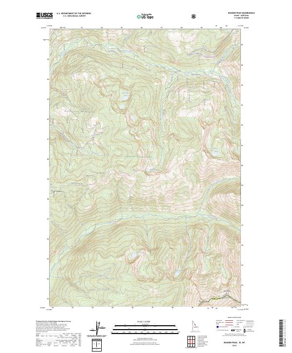
2024 Map of Ranger Peak
USGS Topo · Published 2024About this map
Ranger Peak stands as a prominent high point in this remote mountain landscape along the Idaho Montana state line. This 2024 survey documents the dense drainage networks and high-altitude water bodies that define the Clearwater National Forest and the Selway-Bitterroot Wilderness. The terrain is marked by significant geographic barriers like Beaver Ridge and the Bitterroot Mountains, which separate the watersheds of Brushy Fork and Storm Creek.
Find a feature on this map
34 named features on this map. Tap any name to fly to it.
Don’t see what you’re looking for? This feature index may not catch every label — zoom into the map to look around manually.
Map Details
Editions of this 2024 Ranger Peak Map
This is the sole edition of this map. No revisions or reprints were ever made.
Other maps of this area

1901 · Hamilton
USGS Topo · 1:125,000

1911 · Lolo
USGS Topo · 1:250,000

1912 · Missoula
USGS Topo · 1:125,000

1913 · Lolo
USGS Topo · 1:250,000

1956 · Hamilton
USGS Topo · 1:250,000

1959 · Hamilton
USGS Topo · 1:250,000

1960 · Hamilton
USGS Topo · 1:250,000

1964 · Hamilton
USGS Topo · 1:250,000

1964 · Lolo Hot Springs
USGS Topo · 1:24,000

1964 · Dick Creek
USGS Topo · 1:24,000