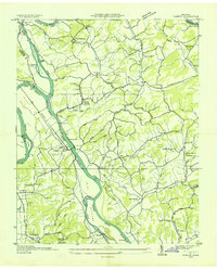
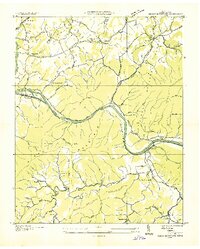
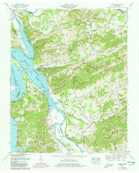
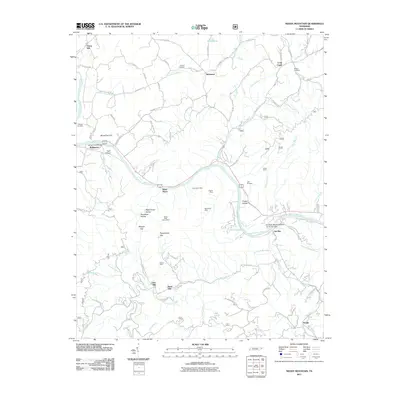
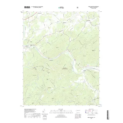
1935 Map of Rankin
USGS Topo · Published 1935About this map
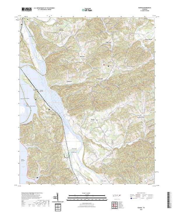
The French Broad River and Pigeon River dominate this 1935 landscape, winding through the Irish Bottoms just as the Tennessee Valley Authority began its regional transformation. This advance sheet captures the community of Rankin and the village of Bybee during a period of transition for East Tennessee's river valleys. Family-named landmarks and rural infrastructure are densely mapped, including Atchleys Mill and a series of country schools like Talley Memorial Sch and McNabb Sch.
Find a feature on this map
91 named features on this map. Tap any name to fly to it.
Don’t see what you’re looking for? This feature index may not catch every label — zoom into the map to look around manually.
Map Details
Editions of this 1935 Rankin Map
This is the sole edition of this map. No revisions or reprints were ever made.
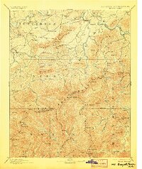
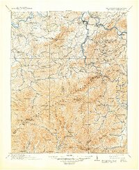
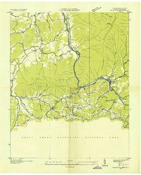
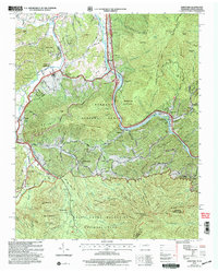
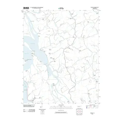
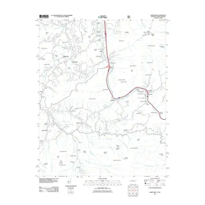
Historical Maps of Liberty Hill Through Time
26 maps found
1893 Mt Guyot
Cocke County, TN
1912 Mt. Guyot
Cocke County, TN
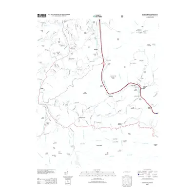
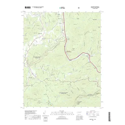
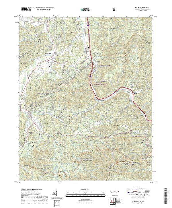
1935 Hartford
Cocke County, TN
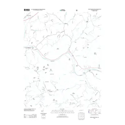
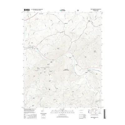
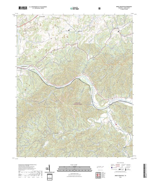
1935 Neddy Mountain
Cocke County, TN
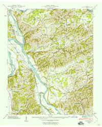
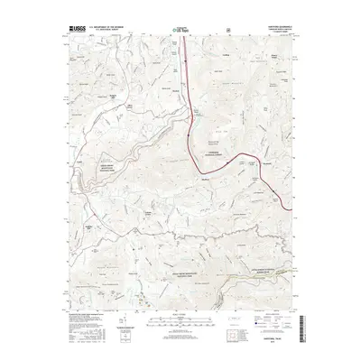
1935 Rankin
Cocke County, TN

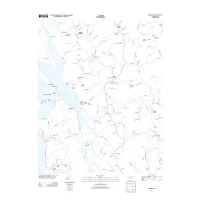
1935 Small
Cocke County, TN
1939 Rankin
Cocke County, TN
1940 Hartford
Cocke County, TN
1940 Neddy Mountain
Cocke County, TN
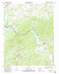
1961 Rankin
Cocke County, TN
2003 Hartford
Cocke County, TN
2010 Rankin
Cocke County, TN
2011 Hartford
Cocke County, TN
2011 Neddy Mountain
Cocke County, TN
2013 Hartford
Cocke County, TN
2013 Neddy Mountain
Cocke County, TN
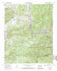
2013 Rankin
Cocke County, TN
2016 Hartford
Cocke County, TN
2016 Neddy Mountain
Cocke County, TN
2016 Rankin
Cocke County, TN
2019 Hartford
Cocke County, TN
2019 Neddy Mountain
Cocke County, TN
2019 Rankin
Cocke County, TN
2022 Hartford
Cocke County, TN
2022 Neddy Mountain
Cocke County, TN
2022 Rankin
Cocke County, TN